The first big dump of winter 18-19 is on the maps. A dump that already brought a lot of snow to the high alpine will bring even more snow in the coming days. The first episode with snowfall has ended and most of the snow fell in the triangle below.
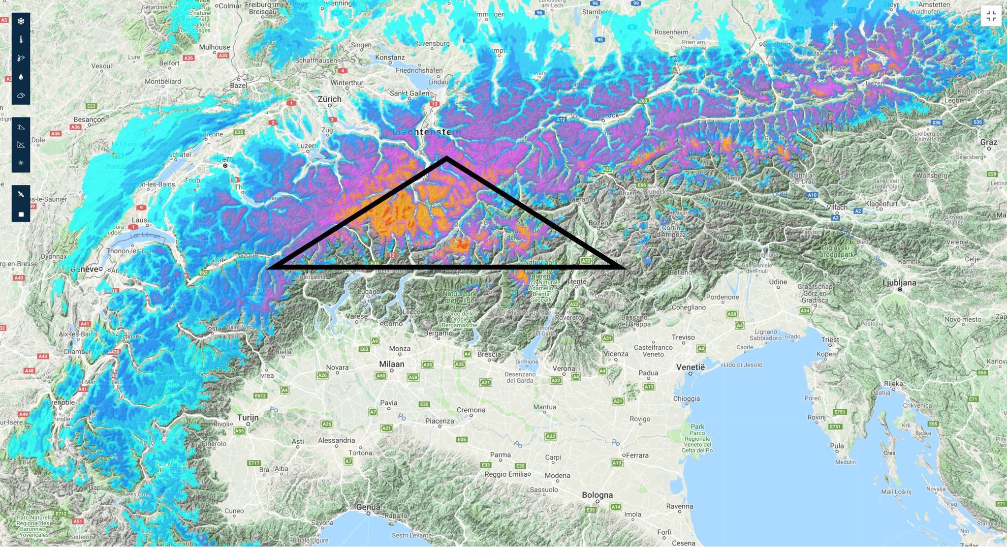
Above you can see the snowfall as our model predicted between Friday and Sunday morning. (This map can be found on your desktop by going to our forecast page and by clicking on -3 days). Now, forecast and reality are not always equal, but this time we are very close. Below you see the snowfall in the past 24 hours as measured by the measurement stations in Switzerland. The darker the dot, the more snowfall.
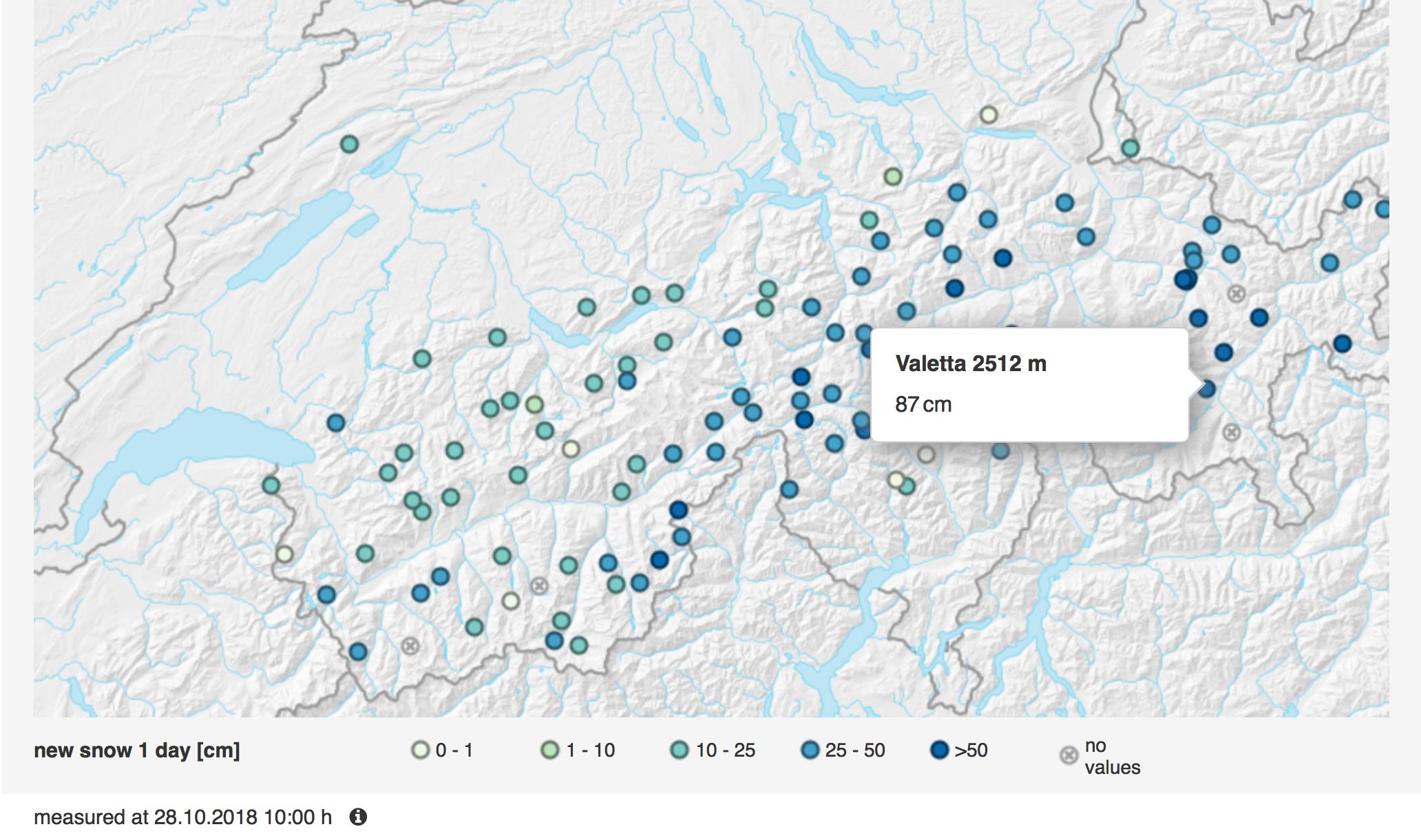
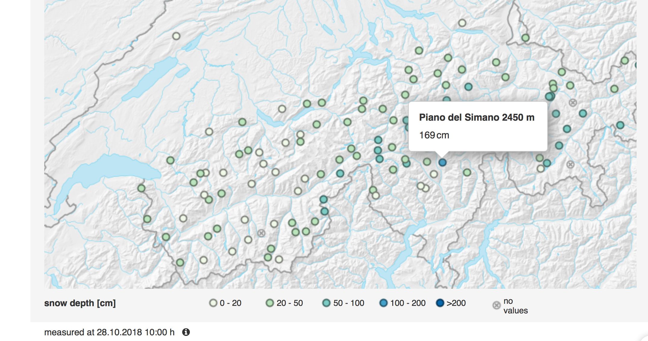
The snow cover has grown considerably grown over the past 2 days. From nothing to about 50-90, locally even 150 cm and more. And that’s quite a lot, especially when you consider that the snow cover will settle.
TIP: check out this article about ‘How much fresh snow?! The discussion about centimeters.’.
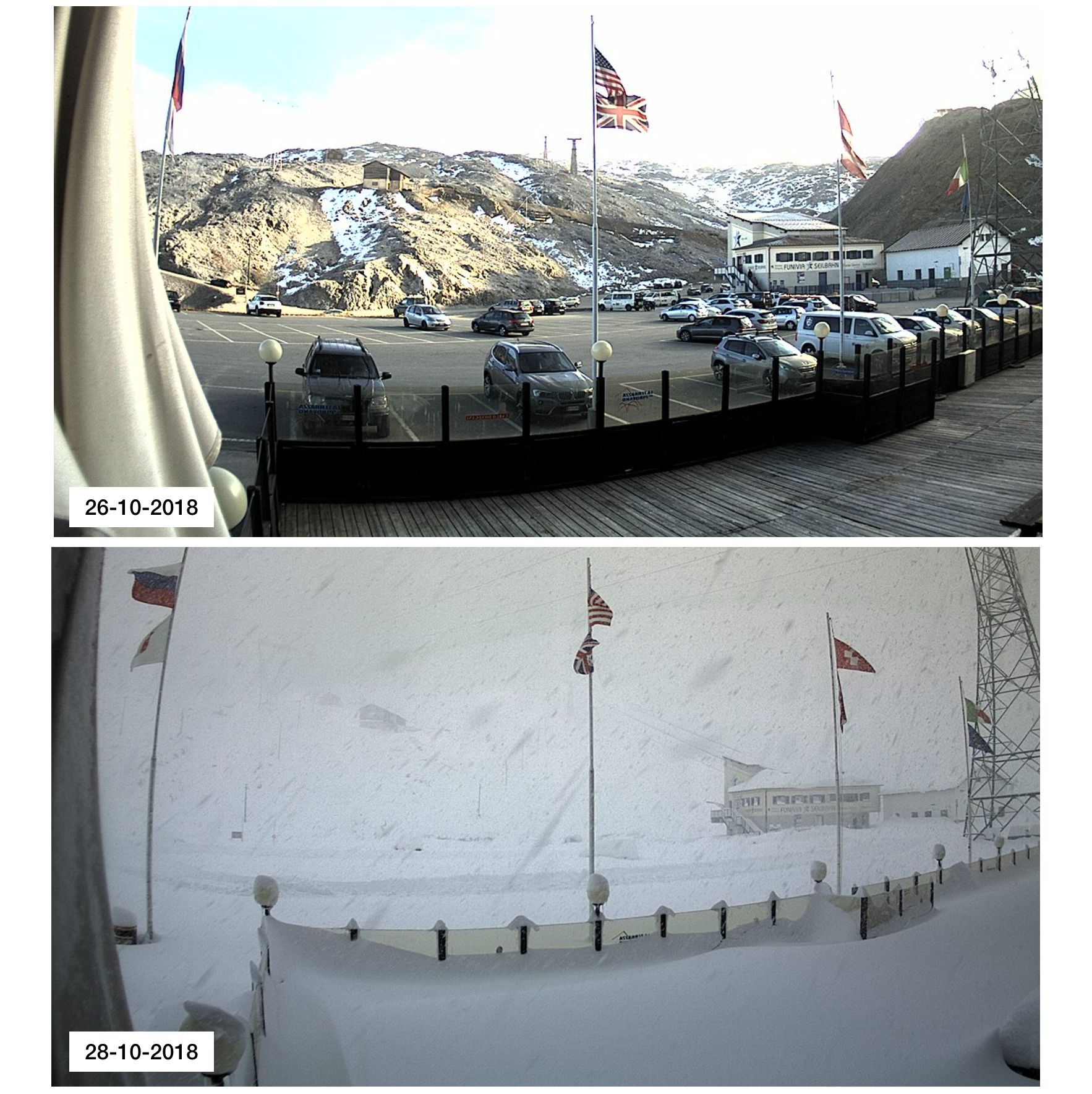
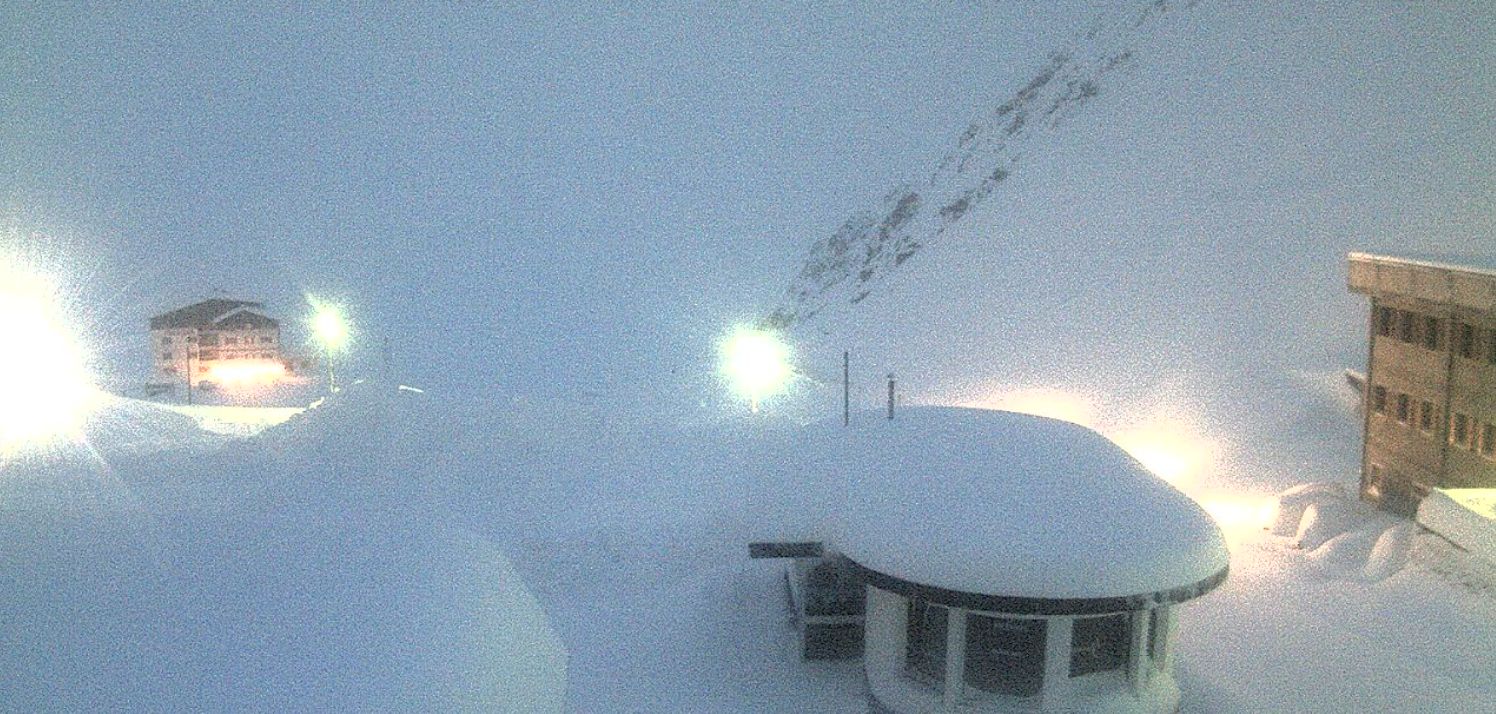
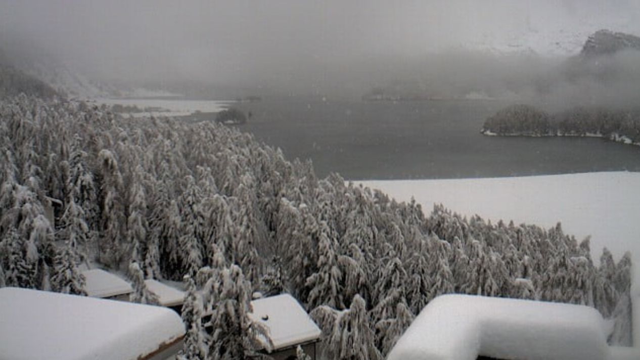
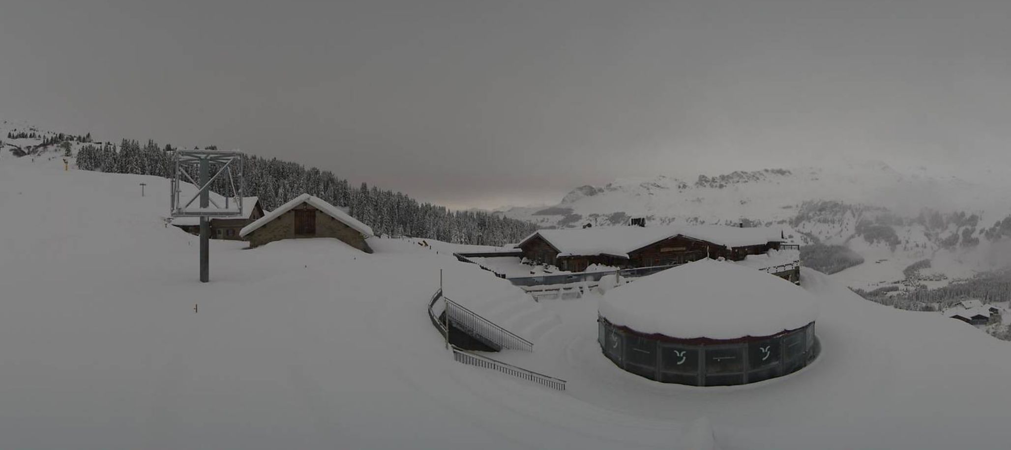
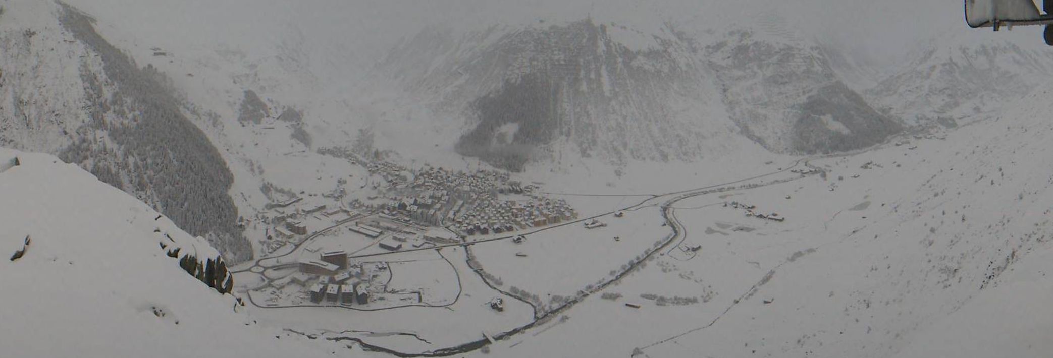
The measuring stations are always an excellent method to check how the forecast performed. Our model seems was very close to reality today. A second way to check the performance of our weather model is a look at the webcams. I have selected some images from the region. At the very first image I show you the situation of Friday and of this morning. That is a substantial amount of snow (a meter or more in some places).
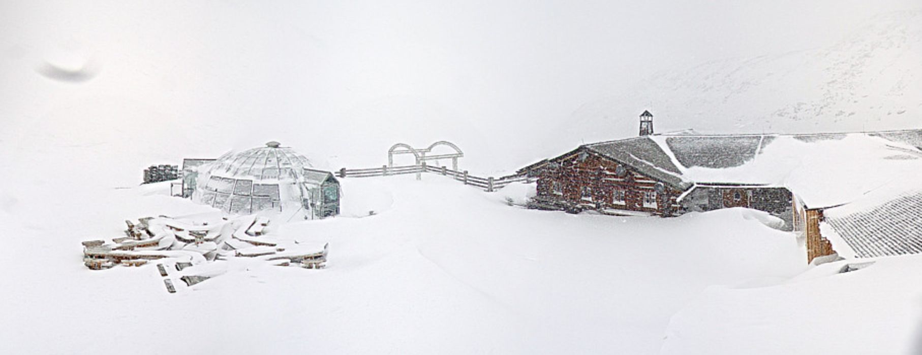
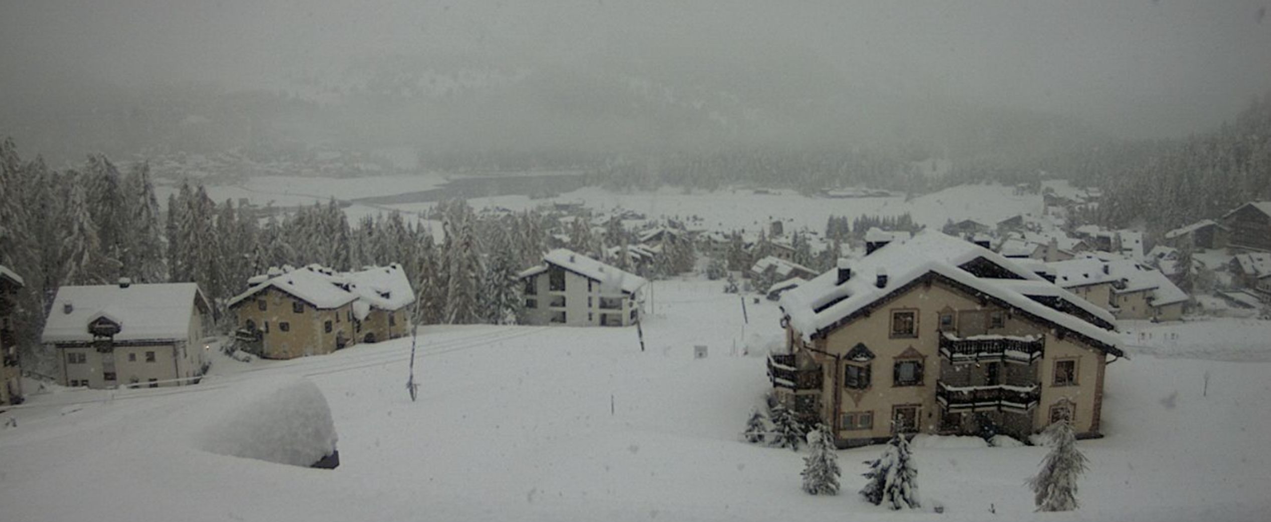
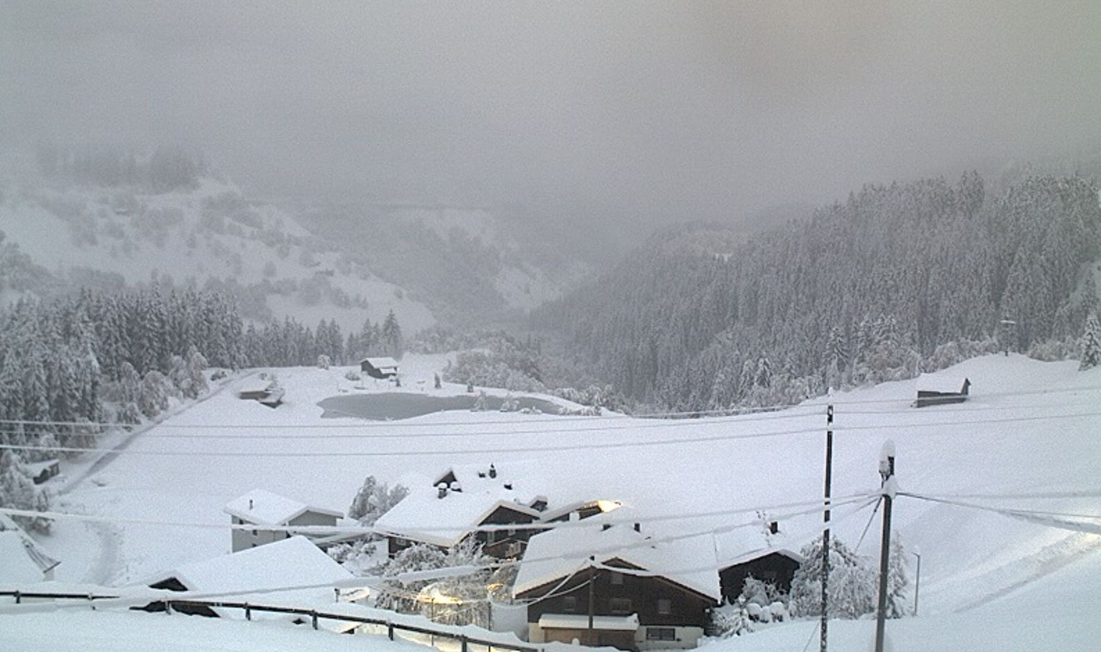
There’s also a lot of snow on the other webcam near the Stelvio.
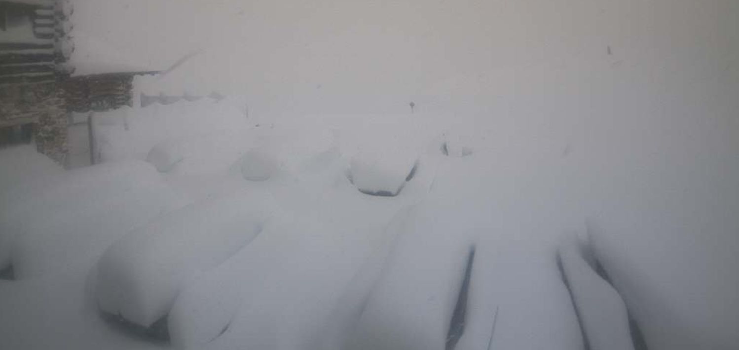
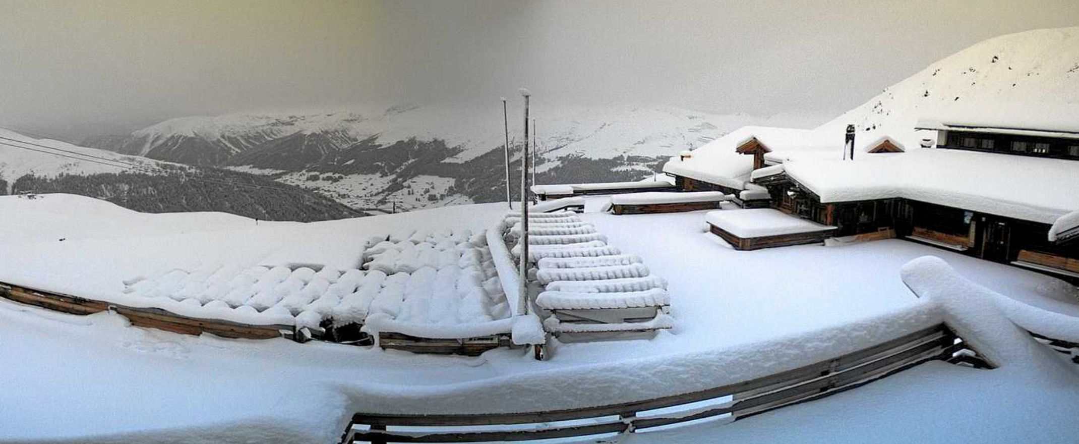
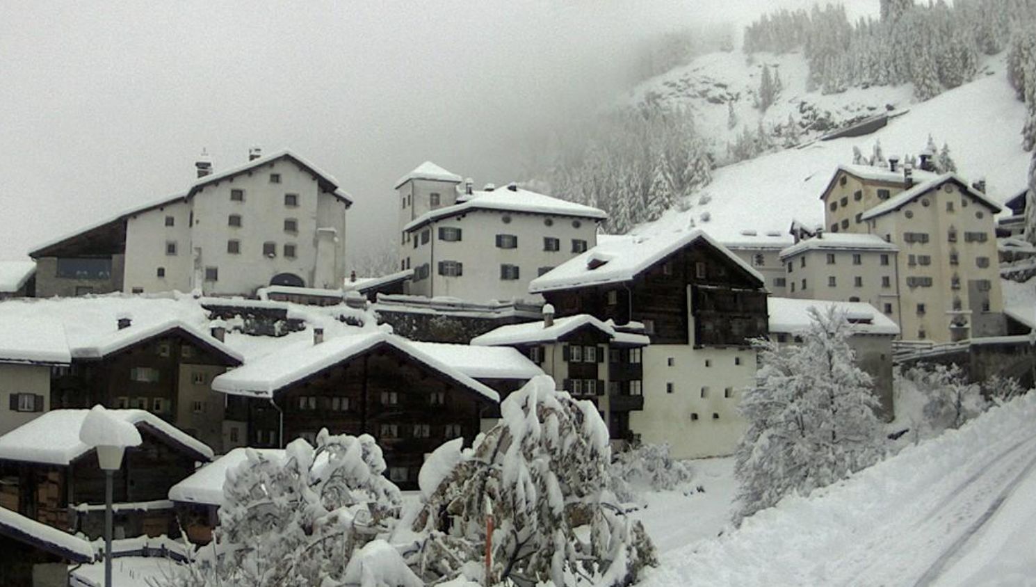
A lot of snow came down in the high alpine in Italy.
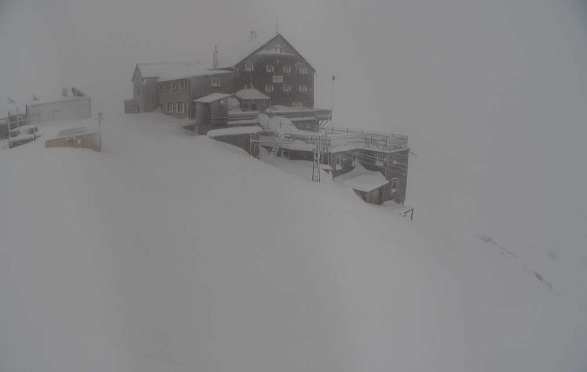
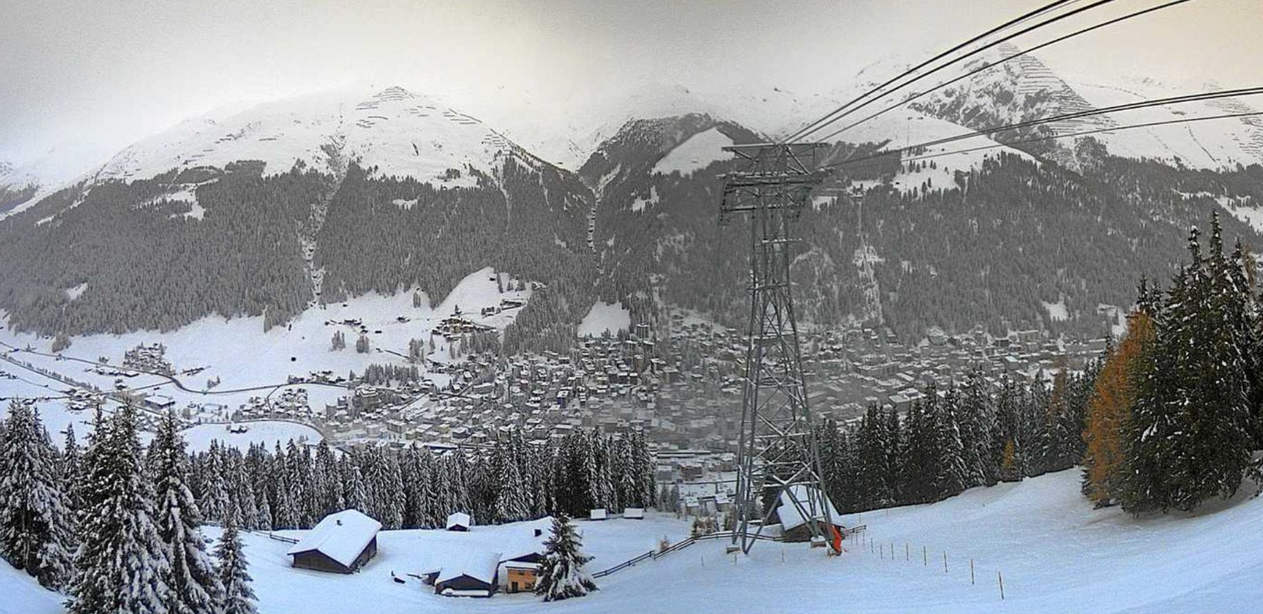
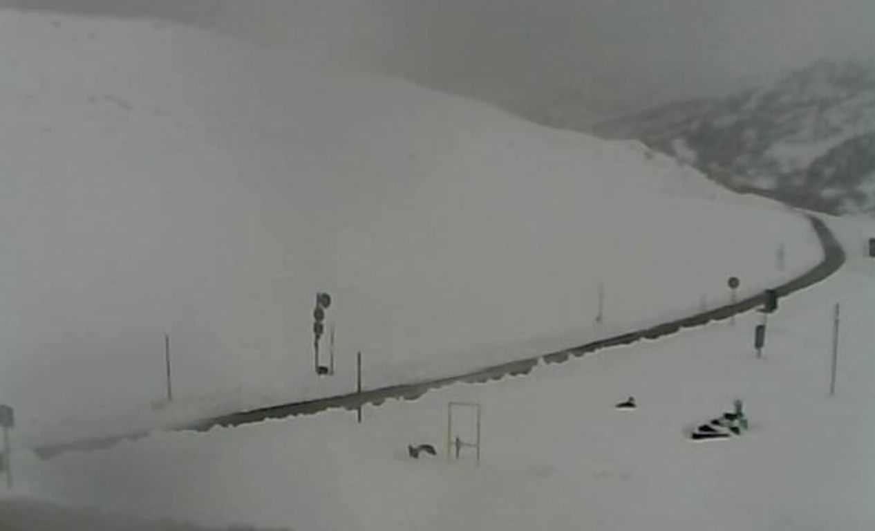
The bordering Swiss regions (Gothard, Mittelbünden, Ticino, Engadin) also got a lot of snow. Sometimes deep into the valleys.
50-150 cm of fresh snow on the border of Switzerland and Italy
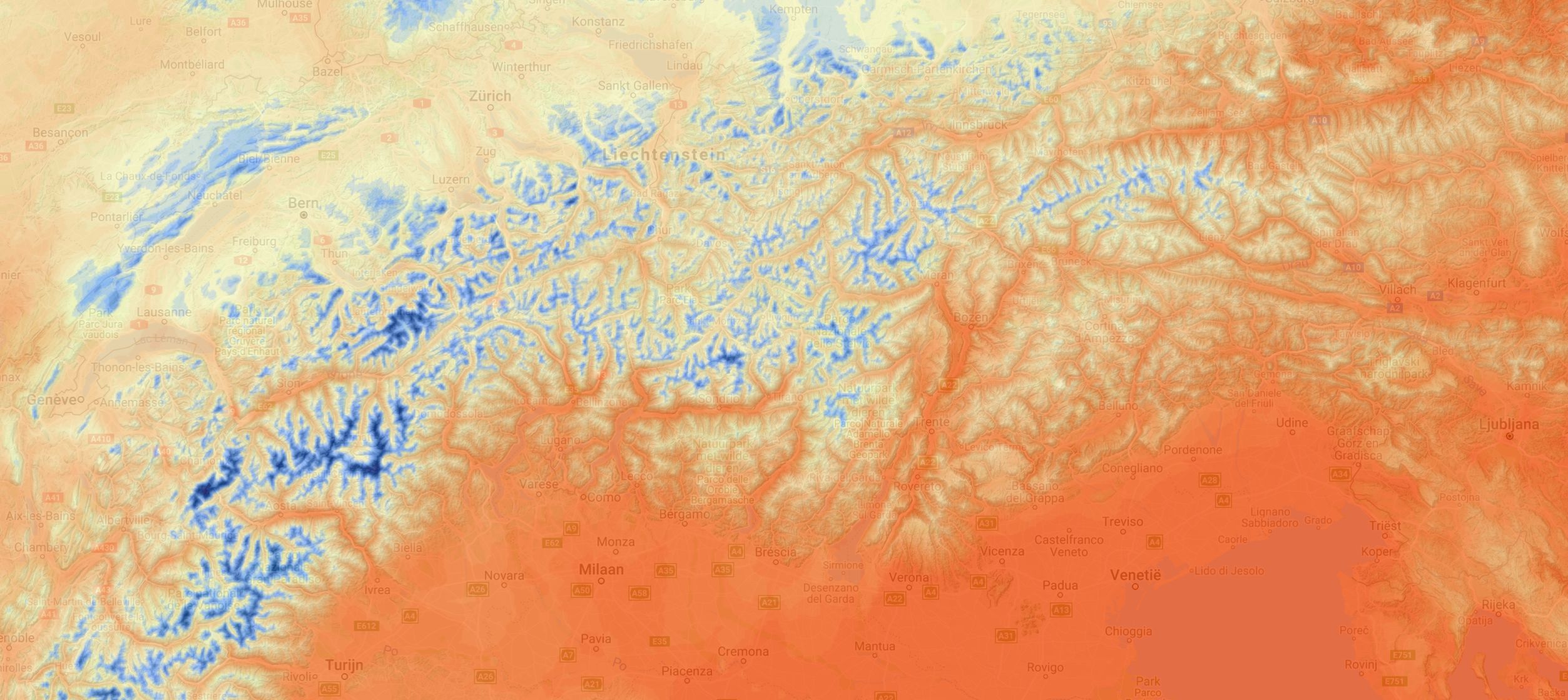
About 50-150 cm of fresh snow came down in this triangle in the last 48 hours. Unfortunately, the temperature is rising again (as expected) and the snow will disappear below 2000-2300 meters in the coming days.
You can follow the rising temperature on our forecast pages by choosing the forecast of the temperature at 2 meters altitude or 850hpa (about 1400 meters altitude). Below the expected temperature for this afternoon. It is already well above zero in the valleys.
But… There’s more cold weather with snowfall in the forecast. More about that in the forecast later!
Replies
Looking great Morris!
w000000t!
If all goes according to plan, I should be in Sedrun/Rueras March 20th or so with a few other k00ks.
@@Chester_Tartsnatcher sweet!!
According to the Swiss Avalanches Services it has been dumping in line with our recent snow maps.
Conditions in the higher alpine are improving. Snow levels will go up temporarily on Monday, but drop to mid mountain level and lower afterwards… Another 100-200 cm is expected on the Southern side of the Swiss-Italian main ridge.