Heavy snowfall is approaching as I wrote on Saturday, but there are still some uncertainties, also about the developments after Friday. Some rain already follows in the mild air on Wednesday evening, but then the northern Alps will enter a (possibly heavy) föhn situation, while the southern Alps could see a lot of precipitation. After that, a cold front will bring cooling and snow in most parts of the Alps.
Second snowfall
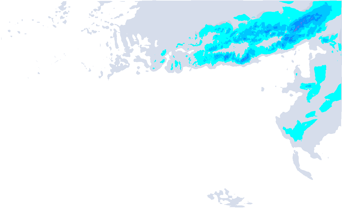
Today (Monday) was still quite mild. The snowfall line in the Northern Alps was around 1,500 metres or just below in many places. Currently, the second precipitation area is following on the northern side. It starts snowing at around 1,300 metres, but during the night the snowline drops just below 1,000 metres. Some 10 to 15 centimetres may again fall, creating totals (including the snowfall that has already fallen) of 15 to 20 to locally 30 centimetres from central Switzerland to Arlberg.
A temporarily high-pressure area will stabilise the weather for a while on Wednesday with a mix of sun and clouds. In the afternoon, clouds are moving in from the west on a large scale. First with thin high clouds, which then become increasingly thicker. A sign that precipitation will soon follow.
The jet stream over the Atlantic Ocean has now increased significantly in strength. Off the east coast of the United States, exceptionally high speeds were even measured at about 10 kilometres altitude. The strong jet stream is creating quite a lot of depression activity, which we will also start to feel in Europe from the middle of this week. These low-pressure areas are strong with a core pressure of around 950 hPa and are causing turbulent weather in large parts of western and central Europe.
The secondary low you see below over Britain could have a big impact on snowfall in the Alps as the flow could potentially change a bit. The position and development of such small secondary lows are often very difficult to forecast in advance, but we should therefore take them into account later this week. Secondary lows can provide different wind directions and additional lifting. It is also around these vicious cores where we can often expect the heaviest wind gusts.

For now, the following seems to be happening:
First precipitation is approaching during the night from Wednesday to Thursday. This will still happen in the warm air masses, causing a rapid rise in the snowline from 1,500 metres. Temporary rain could briefly reach 2000 metres in the north-west Alps. The föhn will then increase and most of the northern Alps will remain dry during the day. In the southern Alps, some snow may already fall during the day.

The cold front will follow in the evening. During its passage, the wind can be quite strong and a rapid cooling follows. Initially, the snowline is still high, but soon it drops to around 1,000 metres and possibly below. From the Écrins to the Arlberg, some 20 to 30 centimetres of snow could fall, most of it only from around 1,800 metres altitude though. Some more is also not out of the question.
At the same time, it also starts snowing heavily in the southern Alps. From Ticino to the Julian Alps, 30 to 50 centimetres of snow is eventually possible (higher up in the Julian Alps, even a metre of snow could fall). Here, it is just not excluded that the snowline on the southern side could briefly rise towards 1,800 metres.

- 1cm
- 5cm
- 10cm
- 15cm
- 20cm
- 30cm
- 40cm
- 50cm
- 75cm
- 100+
- 1mm
- 5mm
- 10mm
- 20mm
- 30mm
- 60mm
- 120+
Austria will be under the influence of the South Föhn for a little longer into the night from Thursday to Friday, but then it could also snow heavily. It remains to be seen how much the northern Alps will benefit during the day on Friday, but some models are not shying away from up to half a metre, for example around the Hohe Tauern. Our forecast now shows this as well. The snowline on the northern side of Austria appears to be around 1,000 metres.
Later this week more info on these developments!
Reaktionen
B