
We can expect some nice snowfall in the Northwest-Alps with a low snowline. Much more snow may follow over the course of next week with a south-westerly flow, but details on this are not yet known.
Small low pressure core with snow from the northwest
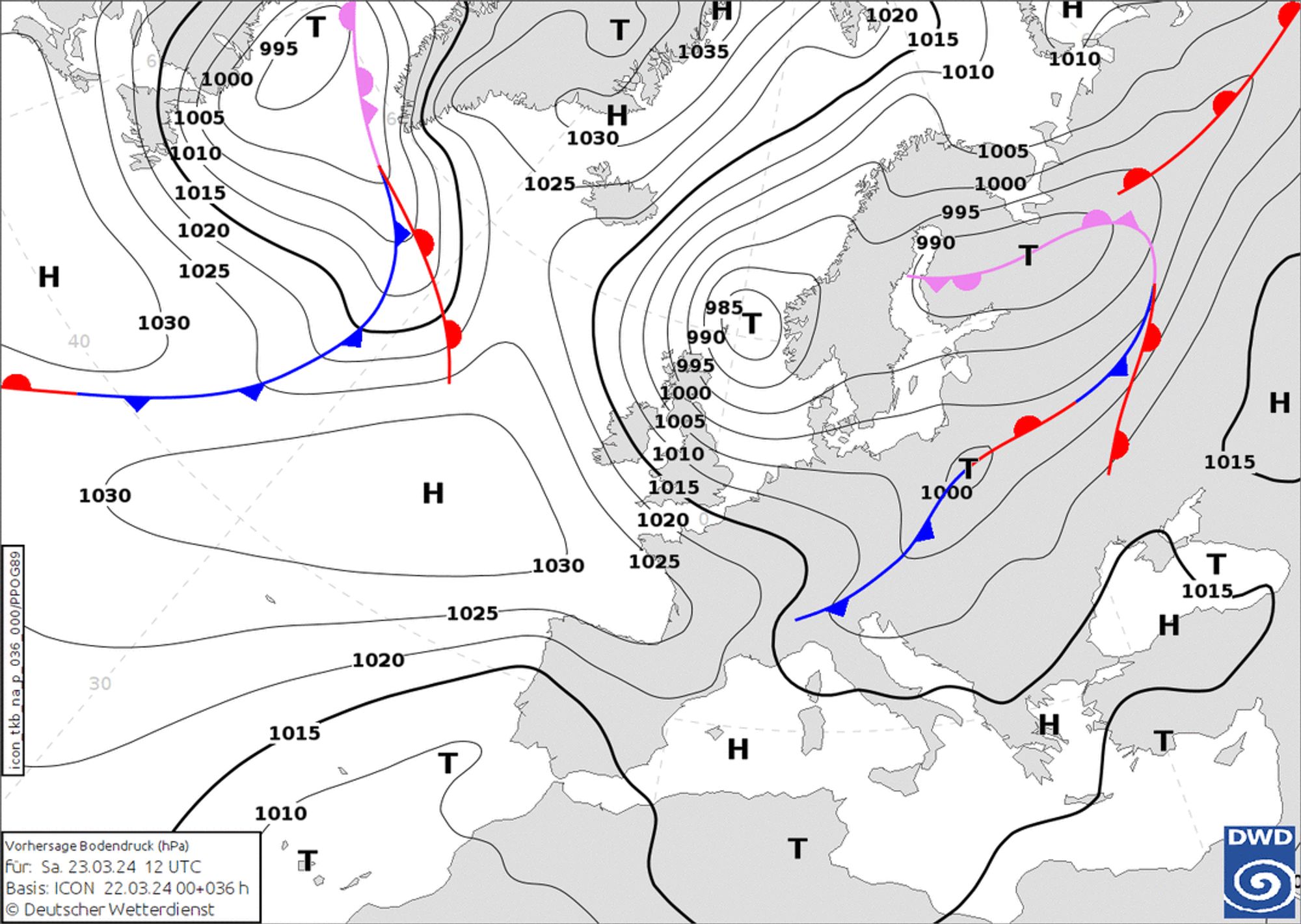
A separate small low pressure core, part of the extensive low-pressure area off the coast of Norway, will bring snow from the northwest on Saturday. In the process, colder air will flow into the Alps, causing the snowline to drop significantly. At first, snow will only fall from around 2,000 metres, but with the cold air moving in, the snowline will drop to around 1,000 metres. During the night from Saturday to Sunday, it will drop even a little lower, to around 600 - 800 metres altitude. The snow falls in two phases, the total accumulations will not be found until Monday morning. Winds increase considerably in the high mountains, which will again make wind slabs a problem. Also in the areas around the Alpine main ridge and higher up in the southern Alps. Here, in fact, the North Föhn will increase considerably.
Typically for these settings, I expect most on the Alpine northern edge from the Bernese Oberland to Arlberg. So for areas like Engelberg, things are looking good. Here, 30 to 40 centimetres could fall until Monday morning, higher up perhaps half a metre as well. Further west, the French Northern Alps remain a bit behind in snow amounts, with around 10 to maximum 30 centimetres higher up around the Mont-Blanc massif. Austria too is picking up less east of the Arlberg, with around 10 to 25 centimetres of snow. In the northern areas east of the Kitzbühel Alps to the Dachstein Massif, possibly a bit more higher up as well.
Monday warmer from the west
Sunday the intensity of the snowfall decreases during the day. Towards the end of the afternoon, it may clear up again near wider valleys and from the northwest. On Monday, you will need to get there early, especially if you are further west, as warm air quickly approaches again from the west. The freezing level rises above 2,500 metres. In Austria, it will remain cold the longest, but here too it will get milder as the day progresses.

The day will be mostly sunny, with increasing cloud cover from the southwest in the afternoon. New snowfall is imminent, as shown in our forecast. However, the European model is significantly less generous with the amounts than the GFS. This can be seen, for instance, in this evening’s main runs above, which show a world of difference in the expected amount of precipitation. So that difference tells us enough: we have to be a bit more patient!
Reaktionen
Henri, thank you my friend! Looks like snow totals for Chamonix spiked overnight since the update. You predicting more now than the 10-30cm cited above, or does the forecast feel broadly the same for you still??
@tarekbayazid our forecast shows up to 40cm until Monday morning higher up, so a small increase, but not that much. The 6-day map shows also the snowfall from Tuesday on.
I still think 30cm around Mt. Blanc is more realistic at altitudes around 2000m-2500m since the initial snowline is quite high (but dropping now) and other models show a bit less.