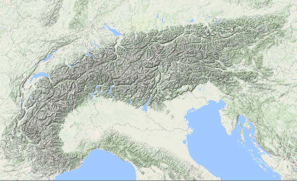
In the coming days, there will be quite a bit of snow again on the southern side, especially in the western part of it. More snow is likely to follow from the weekend onwards. In some regions, accumulations could reach serious levels.
Strong Atlantic depressions will remain more or less stationary just west of Europe in the coming days. This will put the Alps in a moist south-westerly flow that will provide snowfall in the south-west Alps. Over the course of today, the intensity of this snowfall will increase. First in the French Southern Alps & Alpi-Marittime and then also in other Italian areas (including Piedmont, Aosta, Lombardy). During the night into Wednesday the really substantial amounts will start falling here. Wednesday during the day, the strongest precipitation will shift eastwards towards the Dolomites and the Julian Alps.

It will also snow (briefly) again in the Northern Alps with the passage of a cold front on Wednesday & night to Thursday. Ahead of the cold front, it will be very warm at first, with temperatures as high as 20 degrees in Austria on Wednesday with the south föhn. In the areas around the Alpine main ridge and on the north side, the wind will increase significantly as a result. It will be stormy up there! Precipitation follows from the west on Wednesday with a snowline of around 1,200 to 1,500 metres, temporarily also a bit lower.
Not cold everywhere
In the French southern Alps (e.g. around the Écrins) higher up, up to half a metre of snow could fall. This also applies to the Alpi-Marittime and the areas from Gran Paradiso/Aosta to Ticino. In Valsesia to Ticino, even more could fall higher up, possibly up to 80 centimetres. Further east, amounts of half a metre are also possible in the high mountains until Wednesday evening, but here the snowline may become a bigger problem. In the west, the snowline will remain between 1,200 and 1,500 metres. Inneralpine snow may continue to low for quite a long time. Further east (Lombardy/Adamello) already a bit higher, with expected values around 1400 and 1700 metres commuting. The further east, the warmer it gets. In the Julian Alps, the snowline could rise above 2000 metres. In the second half of the night from Tuesday to Wednesday, cold air will follow from the west, allowing the snowline to drop to around 1,000 metres once more in the French Alps.

It remains changeable in the Alps after that. A cold front passes over the Alps from west to east on Thursday. The snowline will be between 1,000 and 1,500 metres. The westerly flow is strong, which can cause strong winds higher up. The snow that falls will be in showery form, which could cause local variations.
From Friday, another strong south föhn phase follows on the north side. In the southern Alps, it snows with some stau, but temperatures seem to be higher this time, bringing the snowline in the south-western Alps to around 1,800 to 2,200 metres according to current calculations, further east perhaps even higher!

High concentrations of Saharan dust!
Finally, a quick note: Saharan dust may become a problem, as fairly large concentrations of the airborne dust are expected over the Alps in the coming days. The first wave will follow today (Tuesday during the day). On Wednesday during the day, it could be particularly visible in the Eastern Alps (poor visibility, possible discolouration of snow), but by next weekend (see above), concentrations could possibly increase even more! This could obviously become a big impact on the snow cover.
Reaktionen
LG got bombed with 80cm last night and it’s closed today, be a busy but GOOD Friday if anyone can make it.
Serre Chevalier got a nice layer at the top, maybe 40 to 60 cm in some places. The snow was a bit heavy but there were some nice turns in the larches! More seems to be on the way, Easter will be fun!

