Before we look ahead to the upcoming snowfall, let’s first reflect on the small Retour d’Est of the past few days. As expected, the snowfall amounts were significantly lower than initially forecasted, but this doesn’t mean nothing fell. The webcam images above show that some areas still received a decent layer of snow, particularly along the outer regions. In the inner-Alps, the snowfall diminished rapidly.

Snow from the Southwest
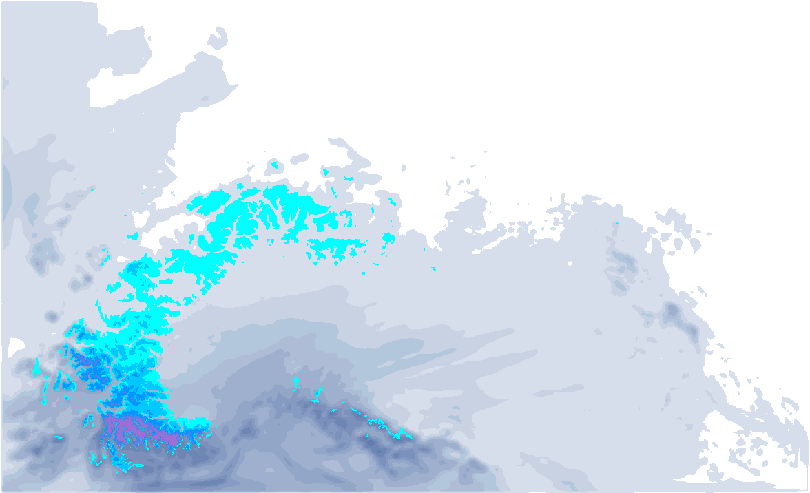
Now onto the weather forecast for the coming days, because more snow is on the way. On Wednesday morning, snowfall will begin in the Western Alps. With several breaks during the day, it will continue through the night into Thursday. Due to a southwesterly flow, the air will be relatively mild, which poses challenges for the snowline, especially in the Pre-Alps, where it will rise to 2000 meters. In the inner-Alps, the situation will be somewhat better, though even here warmer air masses may push through later in the day.
In the higher elevations of the Southern French Alps, about 10 to 20 cm of snow is expected, with locally higher amounts. Further north, snowfall will initially be lighter on Wednesday, but as a cold front approaches, it will persist longer. Part of this initial snowfall will reach Switzerland, though it will weaken quickly. On the Italian western side, amounts will also be limited. Most of Austria will remain dry.

Cold Front from the Northwest
On Thursday, a cold front from the northwest will temporarily bring cooler temperatures and snow. The snowline will drop to 1200–1500 meters. As expected, the Northwest Alps will see the heaviest snowfall, particularly between Savoie and Central Switzerland.
In these areas, 10 to 20 cm is likely, with local accumulations of 25–30 cm on the French side. Further east, snowfall amounts will diminish quickly, with only a few centimeters possible in Austria.
Brief dry spell, more snow possible from the weekend?
Snowfall will taper off quickly on Thursday as a high-pressure ridge takes control, bringing sunny weather to most parts of the Alps on Friday. Depression activity over the Atlantic will drive southwesterly winds, introducing warmer air with temperatures reaching up to 10°C at 1500 meters in the Western Alps. An increasing pressure gradient will also bring föhn winds to the Northern Alps overnight Friday into Saturday, maintaining mild conditions on the northern side. Meanwhile, the southern regions will stay colder.

A small low-pressure system could bring more snow to the Southwestern Alps on Sunday. For the Austrian Northern Alps, little to no snow is expected, as this region remains under the influence of the Southföhn.


