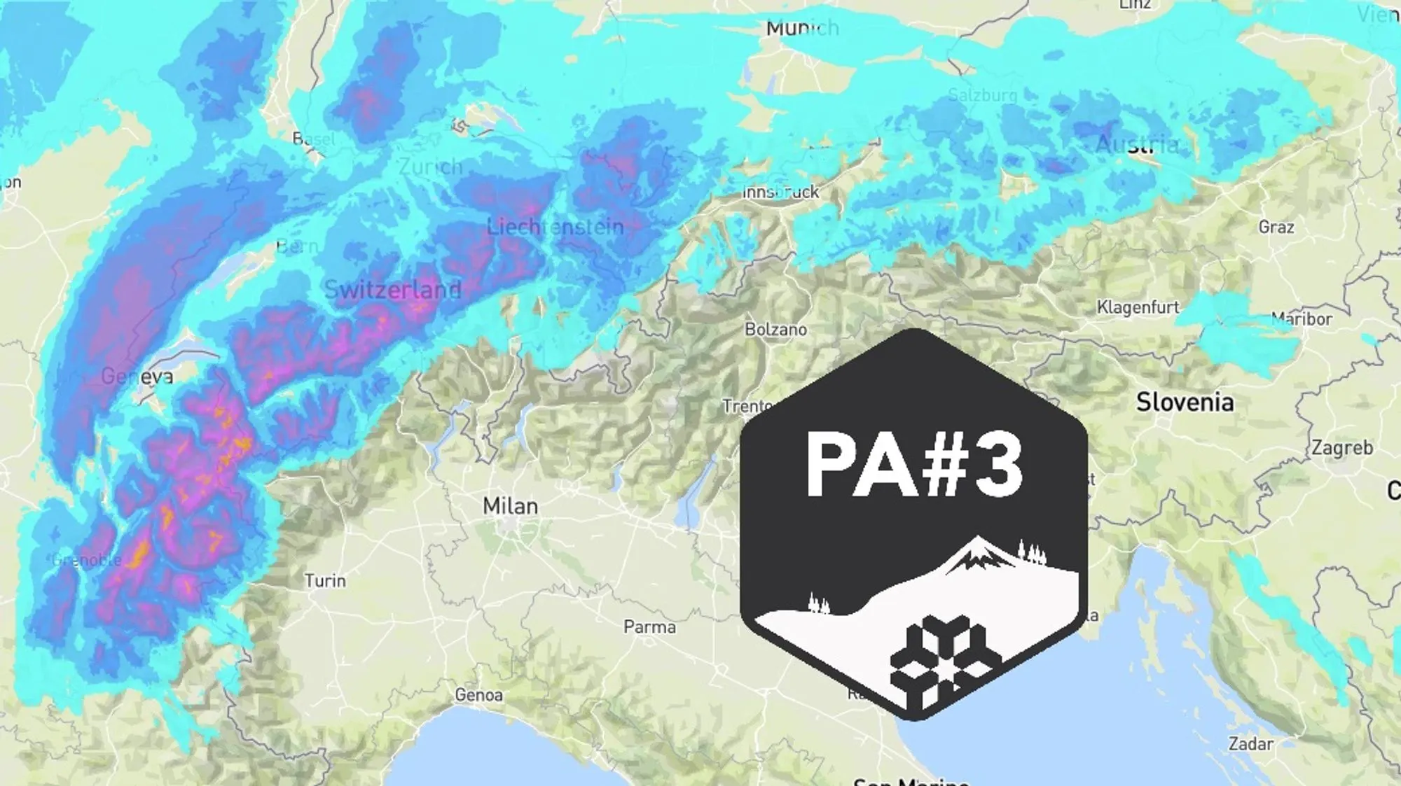
The dump for which we issued Powder Alert #3 is in full swing and will continue in many areas through Saturday. If you haven’t seen the earlier forecasts yet, make sure to check them out. This is a dump with many caveats, which I won’t repeat in detail here. The biggest concern remains the wind, which combined with a persistent weak layer leads to extreme avalanche risk. In addition, quite a few lifts stayed closed today, and tomorrow will likely be no different. Today we’ll look at:
- How much precipitation has fallen so far and how much snow did it produce?
- Where will it keep snowing over the next 24 hours?
- What’s the weather doing on Sunday and next week?
Update on fresh snow amounts
Storm Goretti developed very quickly at first, but that changed once the system moved onto the continent. The core became almost stationary over the Benelux today. Overnight, the low will gradually weaken and move slowly eastward. This delay is favorable for the Northwestern Alps because the orographic lift continues as long as the northwesterly flow persists. On Thursday, a warm front passed first, bringing 20–30 cm of snow to large parts of the French Alps and Wallis. As expected, the warm sector followed last night, causing the snowline to rise sharply. Stations below 1500 m lost part of their snow cover, and between 1500 and 2000 m there was little accumulation. In the morning, the cold front also moved from west to east, causing the snowline to drop again toward 1000 m. After that, snow continued thanks to showers pushing in from the west and forming a continuous snow zone against the Alps - classic weststau.
By 16:00 this afternoon (Friday), these are the amounts of fresh snow above 1800 m since Wednesday:
- 50–80 cm: French Northern Alps and Southern Wallis
- 30–60 cm: French Southern Alps and Swiss Northern Alps
- 20–50 cm: Aosta, Northern Piedmont (border regions)
- 20–40 cm: Vorarlberg (above 1200 m)
Wind-blown snowpack
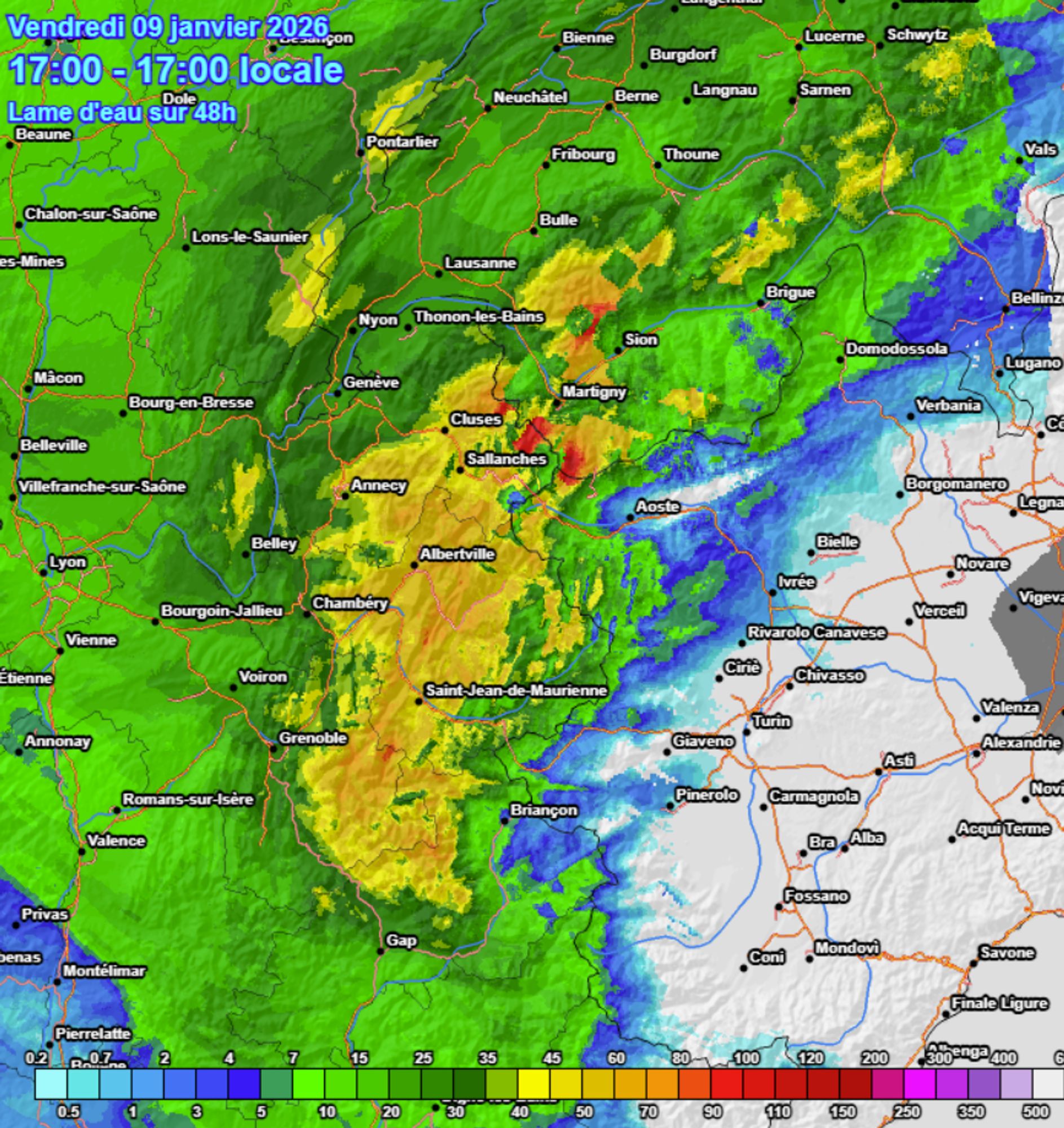
Snow measurements clearly show the effects of the strong winds. Above the treeline, most readings don’t match the actual precipitation. At some points, snow is being drifted in, causing the snowpack to increase rapidly, while at others it’s being blown away. Above 2400 m, several stations even report a decreasing snow depth despite ongoing snowfall. The result is a highly irregular snowpack, especially above the treeline, with the formation of large wind slabs and cornices. For a reliable estimate of snowfall amounts, it’s better to look at the cumulative radar image. The image above combines all radar data from the past 48 hours, giving a good approximation of total precipitation - though inner-Alpine areas may have locally higher amounts than radar detects.
Further east, the snowline was lower and precipitation came through surprisingly well. The Swiss Alps benefited, and Vorarlberg saw more than 30 cm of snow in several spots. Elsewhere in Austria, most areas received 10–20 cm, while south of the main Alpine ridge almost nothing fell. Today, weststau conditions prevailed in maritime polar air, with persistent snowfall in the Swiss and French Alps. Occasionally, this snow crossed the main ridge, bringing flakes to NW Italy, where a decent layer had already fallen yesterday near the French and Swiss borders.
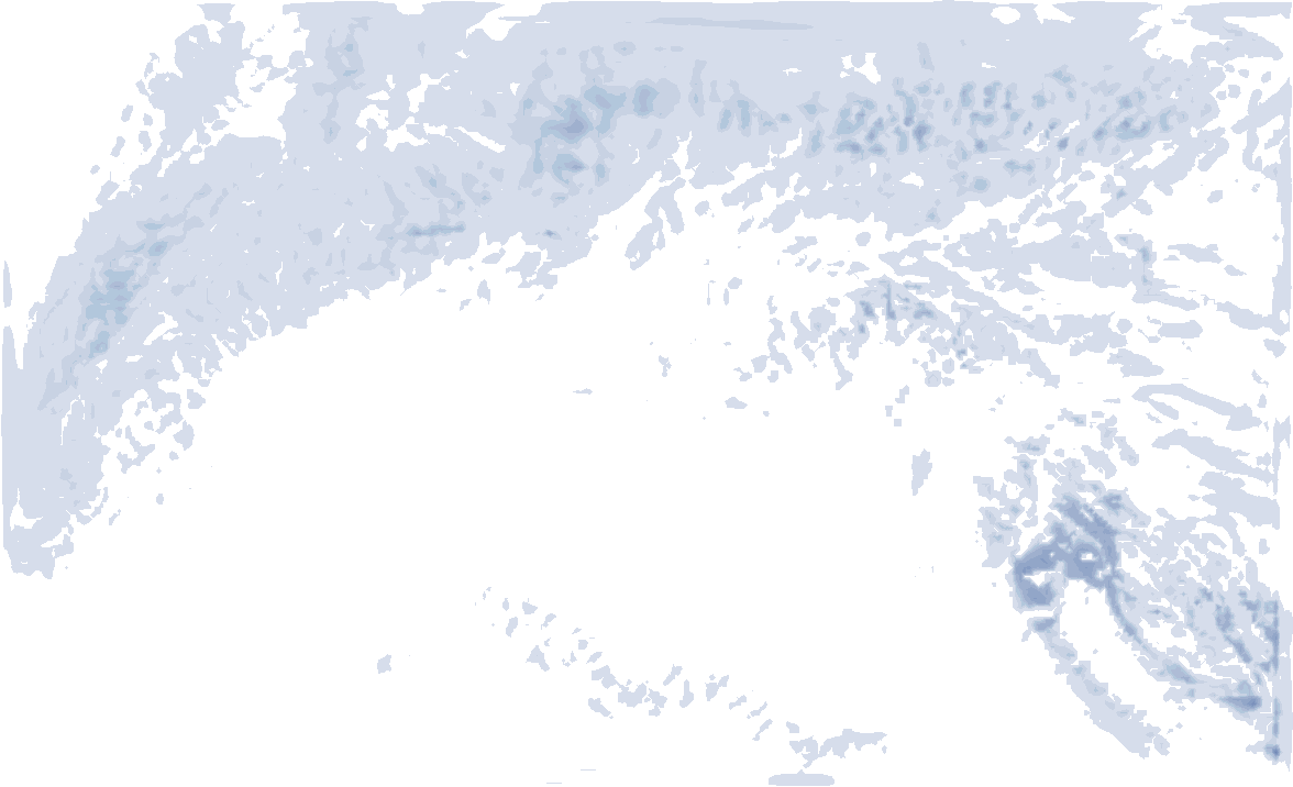
Flow shifts to NW: another 20–50 cm until Saturday evening
As Goretti moves eastward, the upper-level flow gradually shifts from west to northwest. While snow will still fall Friday evening in the French Southern Alps, from tonight onward it will mainly be confined to the French Northern Alps, the Swiss Alps, and Vorarlberg. These regions will see significant additional snowfall, pushing totals above 100 cm in some areas by Saturday. Across the western main ridge, snow will come less easily, but Aosta and the border areas of Northern Piedmont can still expect an additional 10-20 cm. Austrian regions east of Vorarlberg will get at most another 10-20 cm. The snowline remains around or below 1000 m everywhere. By Saturday evening, the atmosphere stabilizes, and during the night into Sunday, the orographic snowfall will fade. Wind remains a major concern, with gales above the treeline and gusts reaching 75 to 100 km/h in some areas.
- 1cm
- 5cm
- 10cm
- 15cm
- 20cm
- 30cm
- 40cm
- 50cm
- 75cm
- 100+
- 1mm
- 5mm
- 10mm
- 20mm
- 30mm
- 60mm
- 120+
Very cold on Sunday
Sunday promises to be a true winter day. In Goretti’s wake, temperatures at 1500 m will drop to -5 to -10 °C, so it will keep freezing even in the valleys. Avalanche danger in the affected regions will likely remain extreme (level 4 to 5), so limit your outings to gentler slopes below the treeline.
Milder but also drier
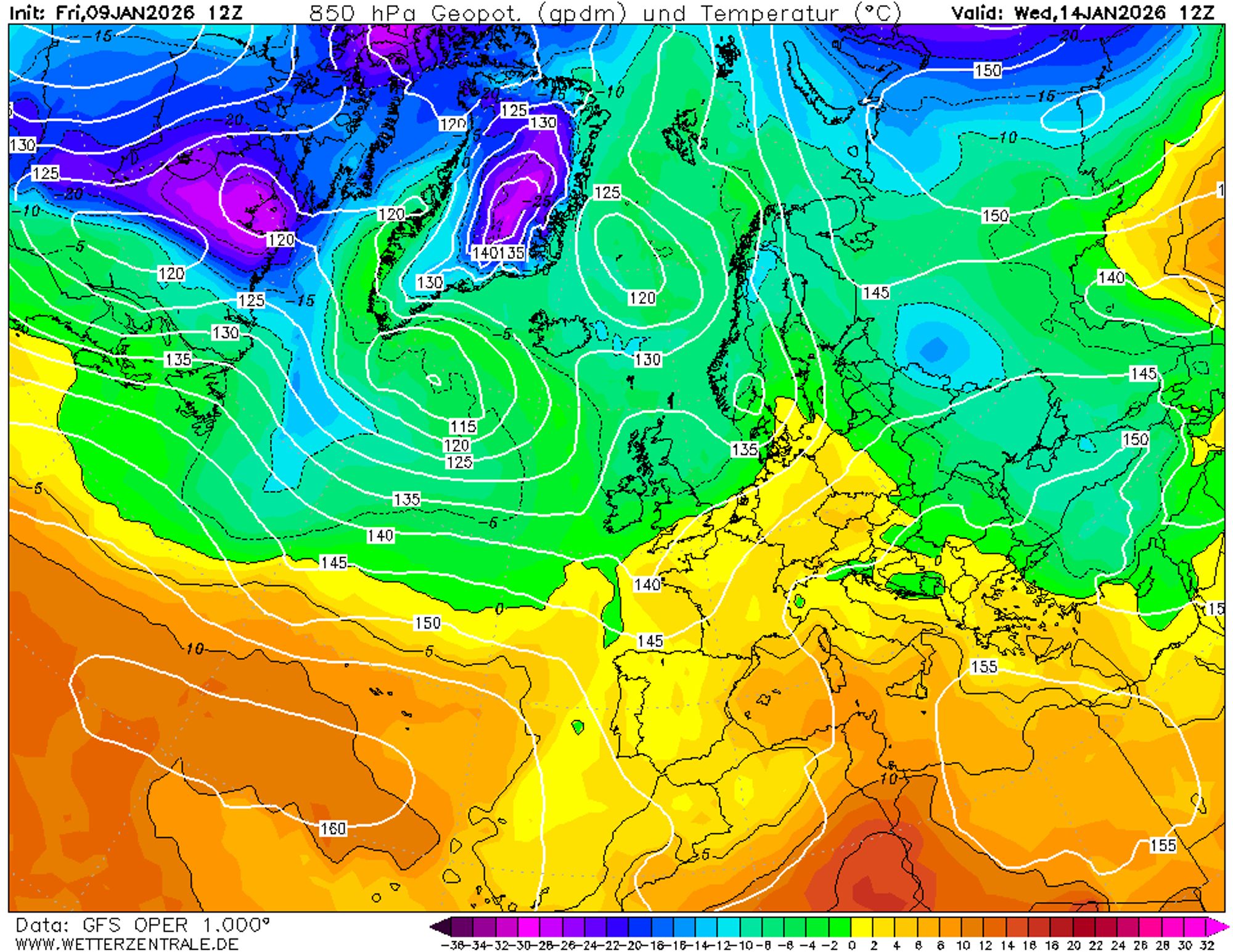
Looking ahead, the medium-term charts bring both good and bad news. The bad news: starting Monday, winter conditions will disappear, and no significant snowfall is expected for a while. The good news: there will be more high-pressure influence than previously forecast, meaning mostly dry days with periods of sunshine. This could allow for better conditions at higher elevations under pleasant weather, provided the avalanche situation stabilizes. In the Western and Northern Alps, it will be mildest, with the freezing level rising above 2000 m during the day from Tuesday onward. This is due to a southwesterly flow bringing maritime subtropical air and föhn effects on the northern side. The Southern Alps will remain somewhat cooler. On Thursday or Friday, a weak disturbance may bring clouds and light precipitation to the southwestern Alps. We’ll keep you posted!
Réactions
Let’s cross fingers for at least a cosmetic dump for the Olympics, the poor Dolomites just not catching a break…
Is there a link for the 48 hour precipitation total, I can’t find it in the meteociel website, and it looks really useful!
many thanks
Finally Austrian powder!