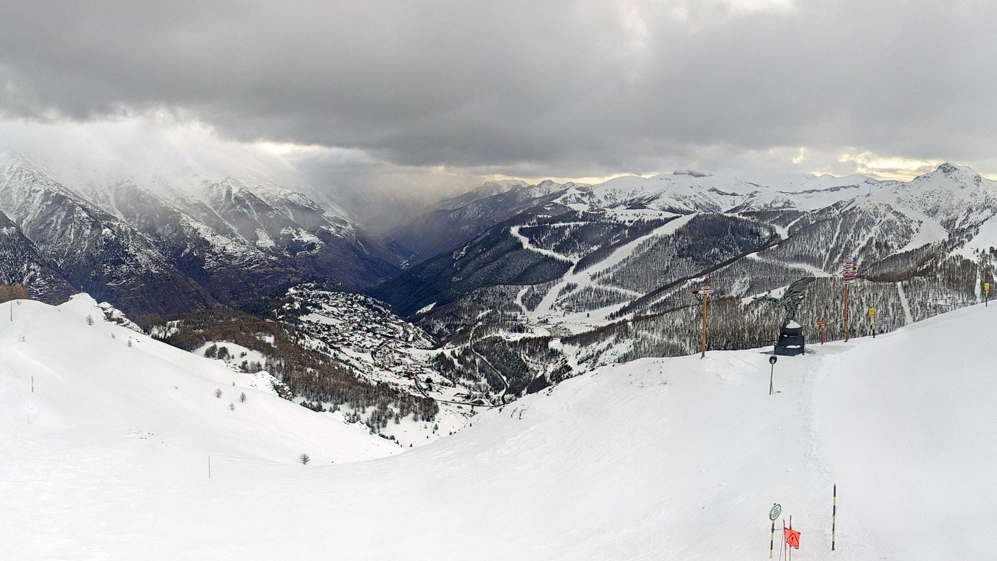
Coen already gave an update on Saturday on the situation during this fourth Powder Alert, and today we look at what has been added since then. We also take another look at the high avalanche danger, which continues to claim victims in several Alpine countries. Finally, we take a glance at the weather maps, because there is hope on the horizon again.

Mostly 15 to 35 centimeters
Since yesterday, snowfall has lagged behind expectations, and rising temperatures also played a role below 1400 meters (Italy) to 1800 meters (France). The position of the depression, far away from the Alps, caused less moisture than anticipated to reach the mountains. Most ski areas in the French Southern Alps, the Italian inner arc, and the region around Monterosa ultimately received 15 to 35 centimeters of fresh powder. Higher amounts were recorded regionally on the Italian side, such as:
Colle Barant – 54 cm
Limone Piemonte – 53 cm
Ceresole Reale – 52 cm
Valdieri – 45 cm
Above: development of the snowpack at several Italian measurement stations (www.meteo3r.it)
Sunshine and fairly mild, still some snow in NW Italy
The southern flow will remain in place for the time being, but because the low‑pressure system that caused the snow is moving further south toward Tunisia, it will become dry again across the Southwestern Alps from tomorrow. Today, occasional snowfall continues in Piedmont and northern Lombardy, with locally another 10 centimeters possible.
Higher up, the wind is strong to stormy, while on the northern side of the main Alpine ridge the föhn can produce gusts up to 100 km/h. These gusts may also penetrate föhn‑sensitive valleys. Elsewhere, sunshine takes center stage in most regions. In the Northern Alps it is notably mild, with the freezing level around 2200 meters. On the southern side it stays colder, with freezing conditions generally from 1300 to 1600 meters. From tomorrow the wind will ease, but otherwise little will change in the weather pattern in the coming days.
Current avalanche warnings (https://lawinen.report/)
Avalanche situation remains tense
The wind continues to create drifting snow and the formation of new wind slabs and cornices. Combined with the persistent weak layer present almost everywhere, the avalanche danger remains high. Even with danger level 2 or 3 and in areas without fresh snow, caution is necessary. Conditions are treacherous and can change rapidly. In the Pyrenees as well, where more snow is falling today, the avalanche situation has deteriorated and extra alertness is required.
New opportunities starting Friday
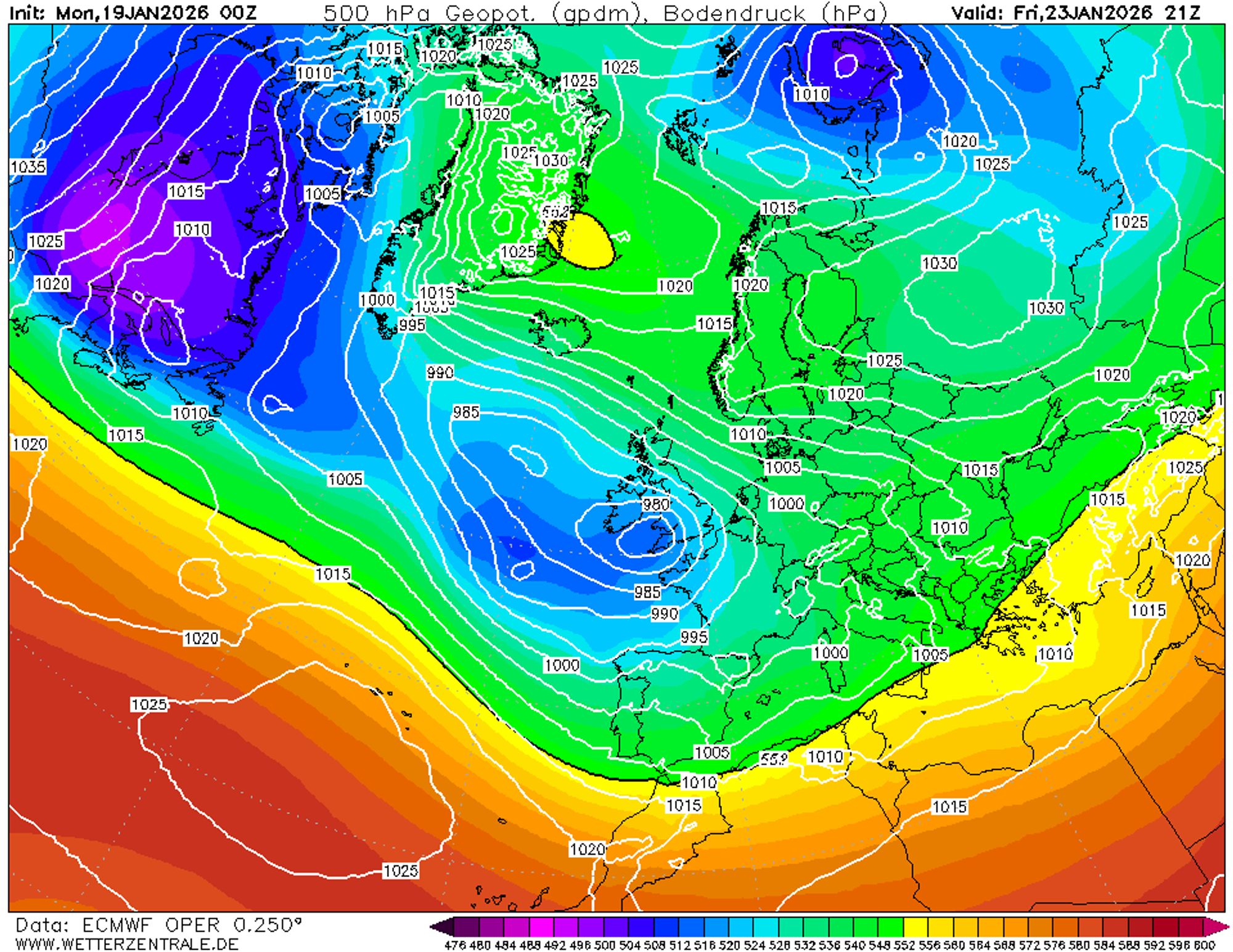
The impressive high‑pressure system over northern Europe - mentioned in earlier forecasts - will first bring a few quiet days. The Alps find themselves temporarily in a meteorological no‑man’s‑land; depressions from the Atlantic are blocked and can only follow a southern track. From Thursday onward, their influence increases in France and Spain, and from Friday this appears likely to bring precipitation again. It’s an interesting setup, especially if these depressions push toward the Mediterranean.
Snow chances will first increase in the French Alps, then along the entire southern side over the weekend, and possibly in other parts of the Alps later. We are following these developments closely and will provide more details in the coming forecasts.
Réactions
So wher to go? Prali, Limone, Prato?