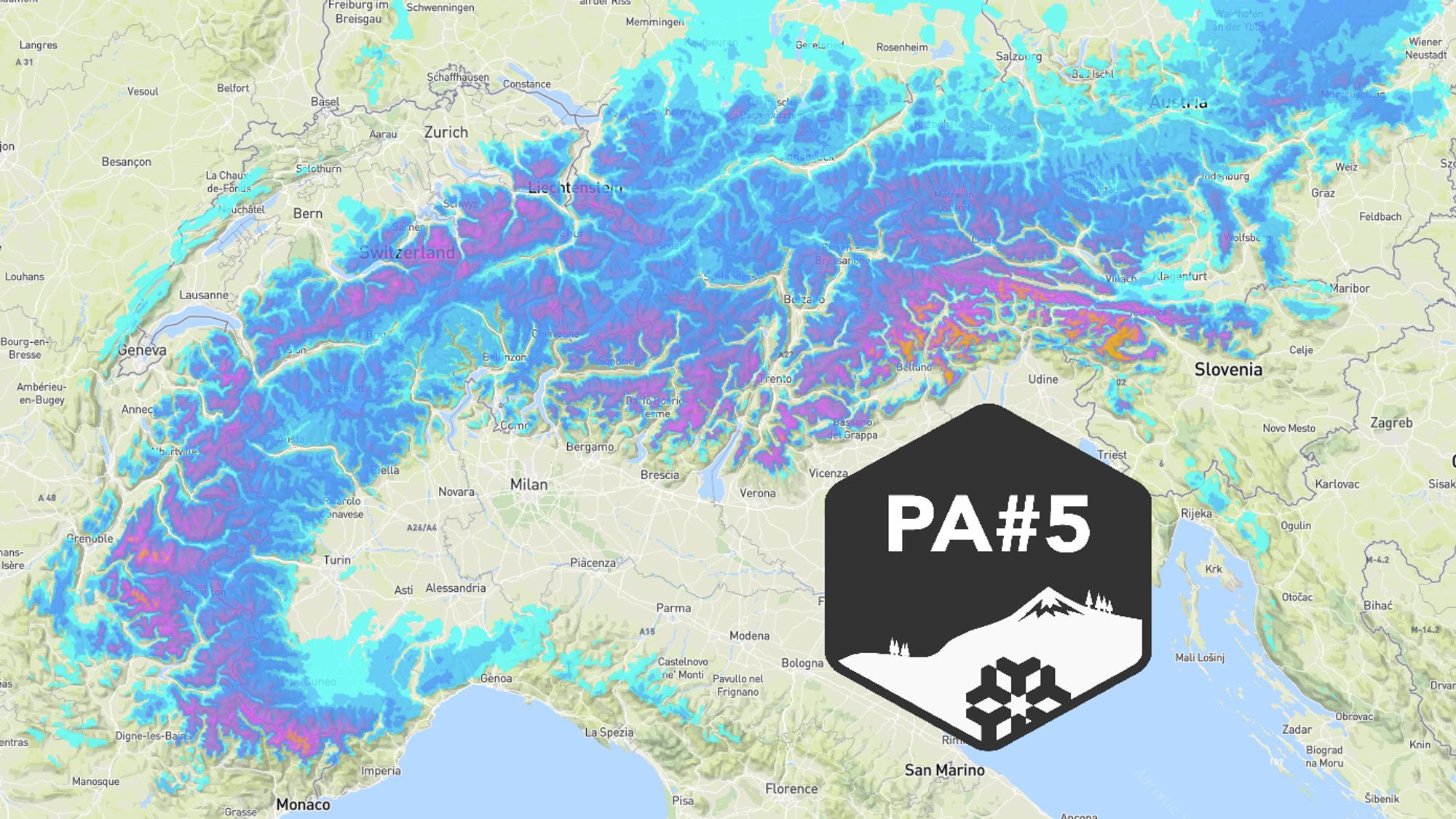
Coen issued the fifth Powder Alert of the season on Saturday: an initial precipitation phase over the weekend, followed by a new disturbance on Tuesday and Wednesday.
- Today, we take a look at what has already fallen over the past few days (locally more than half a meter!).
- After that, we’ll dive into the latest model output for this week, with more snow on the way.
- A warm sector will bring rain up to considerable elevations, with the West Alps being most affected.
- Which areas look most promising after the new snowfall?

Snowy weekend brought a top‑up to a moderate dump
An expanding low‑pressure system over Central Europe has brought dynamic winter weather over the past few days. After an initial phase of Südstau, the snowfall gradually shifted toward the central and northern Alps. As a result, parts of Austria saw their first fresh snow in quite some time, leading to a real metamorphosis of the landscape.
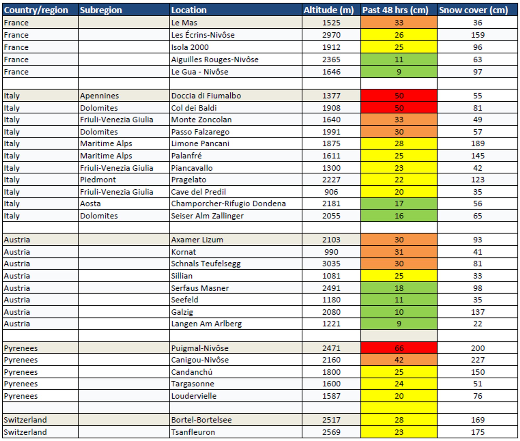
Germany also picked up significant amounts of snow in many places. The largest accumulations, however, were reported in the southeastern Alps, where the Dolomites, the Julian Alps, and southern Carinthia topped the charts with impressive totals. Outside the Alps, it also delivered in the Pyrenees and the Apennines. Below is an overview of the snow depths and the fresh snowfall recorded over the past 48 hours.
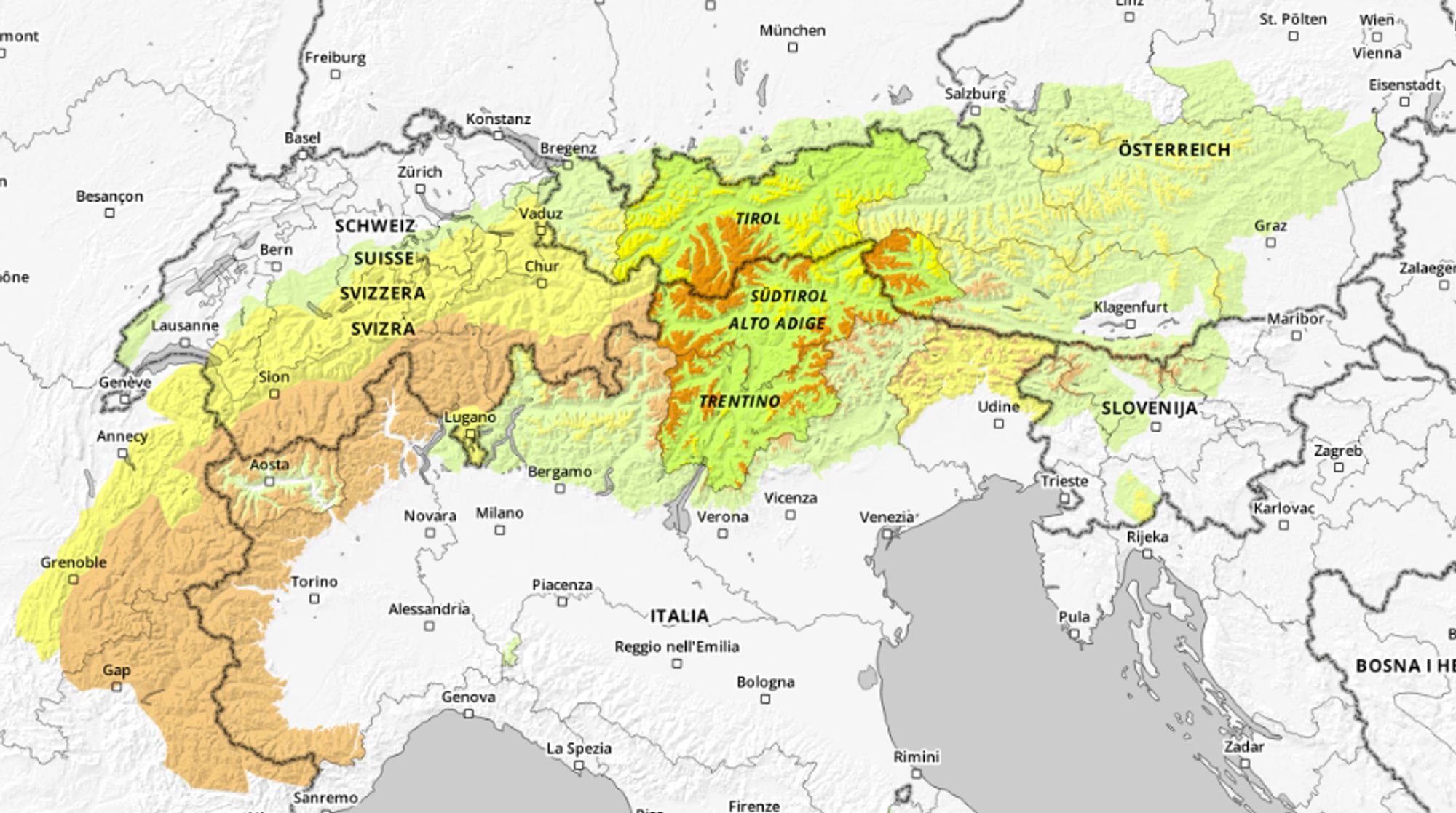
Avalanche danger level 3 in many regions
Due to the persistent weak layer in the snowpack, the avalanche danger remains high, even in the drier regions. The new snowfall adds extra load to this weak layer, and that effect will increase further on Tuesday and Wednesday. Expect a continued level 3 danger, rising locally to level 4 from Tuesday onward. Always check the latest avalanche bulletins before heading out.
A bluebird powder day after the transforming snowfall in the weekend (https://www.foto-webcam.eu/)
Snow on Tuesday and Wednesday, with a focus on the Western and Southern Alps
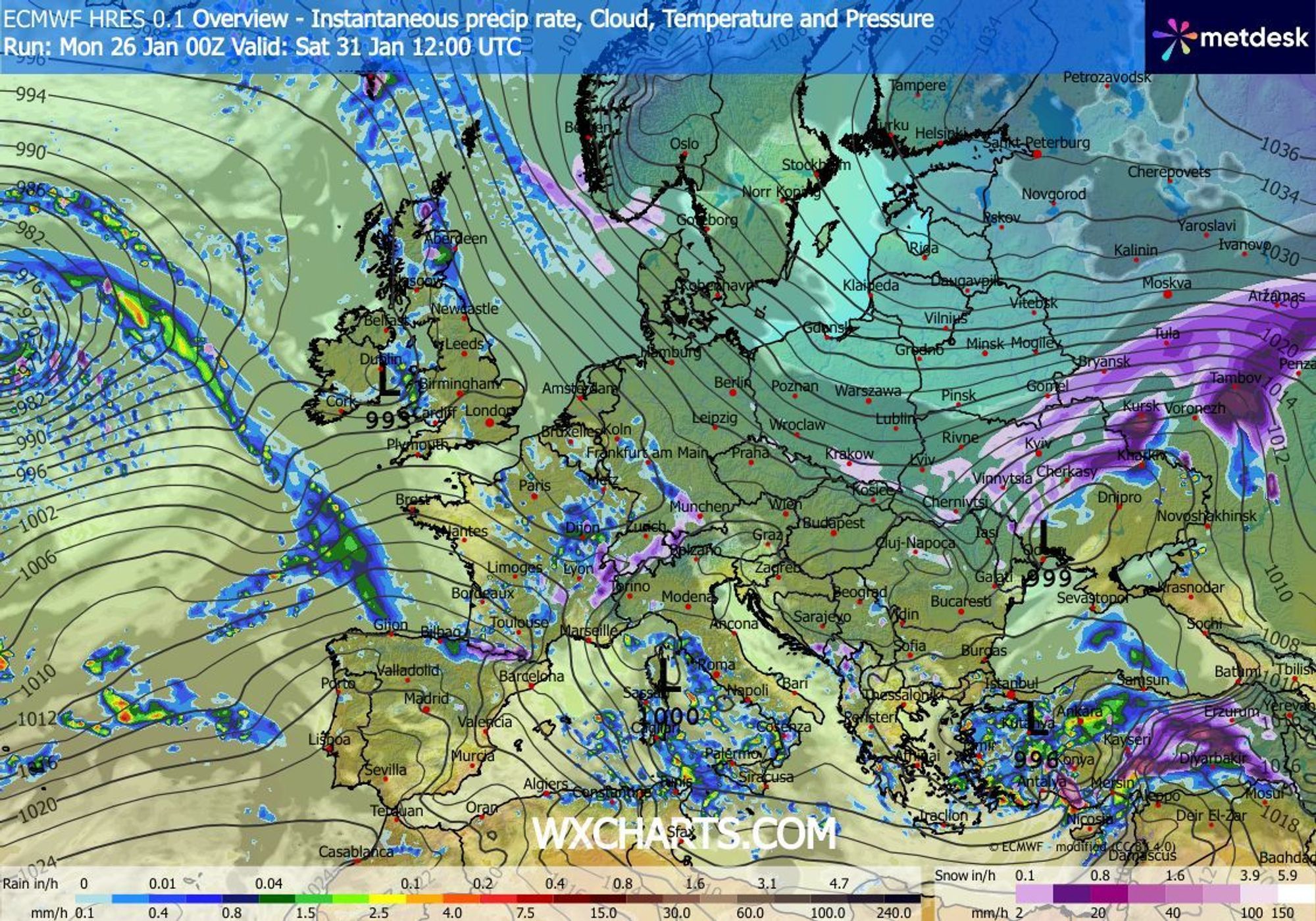
The weather models are still on track for the next round of powder. Compared to the past few days, however, there is one important difference: a warm sector will move in, causing the snow line in the west to start out higher.
The new precipitation is being fueled by secondary disturbances associated with a large depression near Ireland. These disturbances form within maritime polar air over the Iberian Peninsula and the northern Mediterranean. Ahead of them, a southwesterly flow develops, temporarily lifting the freezing level west and north of the Alpine main ridge to around 1400 to 1800 meters.

- -20°
- -15°
- -10°
- -5°
- 0°
- 5°
- 10°
- 15°
- 20°
View the animation for the timing of the milder air (temperature at around 1500 meters)
During the night to Wednesday, several disturbances will merge over northern Italy. The southwesterly flow will come to an end, allowing the snow line in the Western Alps to drop to around 1000 meters. In the Southern Alps, however, somewhat milder air will move in, causing the snow line (for example in the Dolomites) to rise on Wednesday from around 800 to about 1300 meters. Given these milder phases, the highest snowfall totals are expected from roughly 1700 meters upward in the Western Alps and from around 1300 meters in the Southern Alps.

- 1cm
- 5cm
- 10cm
- 15cm
- 20cm
- 30cm
- 40cm
- 50cm
- 75cm
- 100+
- 1mm
- 5mm
- 10mm
- 20mm
- 30mm
- 60mm
- 120+
View the animation for the timing of the snowfall
Most snow for the French Alps, southern Piedmont, and the northeast
Three regions clearly stand out in this Powder Alert, and two of them (depending on the avalanche danger) are the best places to visit this week:
-
French Alps: Almost all areas can expect at least 15 centimeters of snow, combined with a moderate to good (but weak!) base. In the higher parts of the western and southern massifs - such as Alpe d’Huez, Les Sybelles, Orcières, Puy‑Saint‑Vincent, and Isola 2000 - totals of 30 to 40 centimeters of fresh snow are possible.
-
Alpi Marittime (Maritime Alps): On the Italian side as well - Prato Nevoso, Limone Piemonte - another 30 to 40 centimeters of fresh snow is expected, on top of one of the deepest bases in the Alps.
-
Southern Dolomites, Carnic Alps, Julian Alps: These regions already picked up 20 to 40 centimeters over the past few days, and at least that much more is expected. Since there was hardly any base before last week, this is not an immediate go‑to region. Still, for the first time this winter, there is now a proper snowpack.
Daily precipitation chances through the weekend
After Wednesday, the snowfall will decrease in intensity, but it won’t turn completely dry. Thursday may still bring some leftover precipitation, especially in the Julian Alps and parts of Austria. On Friday and Saturday, a new disturbance over France may once again deliver snow to the Northwest Alps. The exact details remain uncertain at this stage, but with relatively cold air and thus a low snowline, the setup remains favorable for more powder.
Réactions
What’s your view of la thuile?
Waiting for tomorrow’s snowfall … let’s enjoy another day in the snow.
Limone Piemonte Mountains amount of the snow:
bottom height (1000 m) 40 cm,
half height (1800 m) 180 cm,
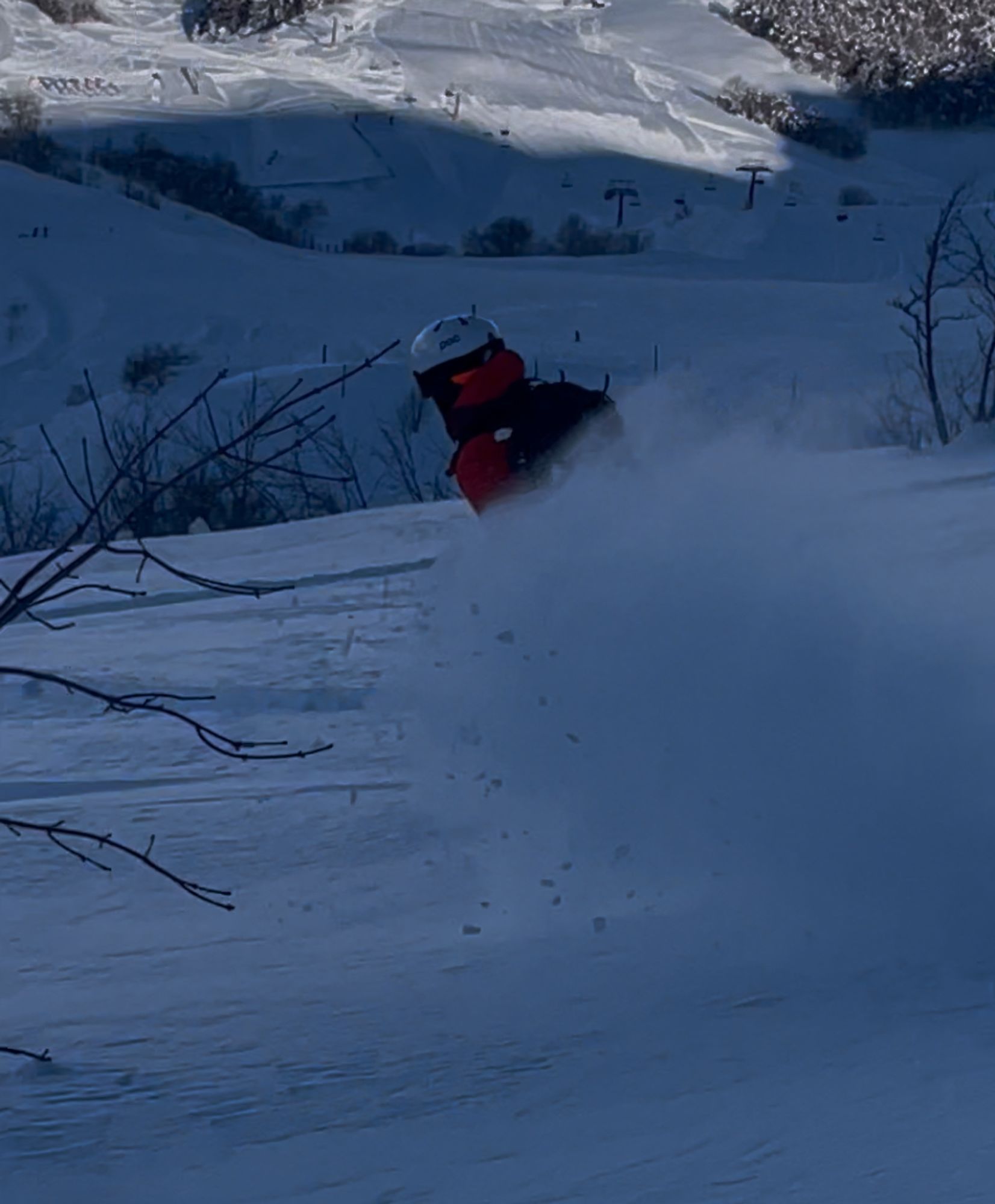
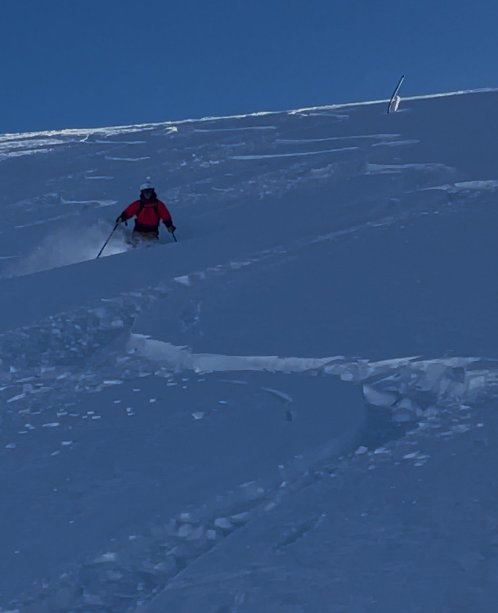 top height (2200 m) 200 cm
We are staying in Aigle happy to travel over an hour where would you recommend would really appreciate your input
Heading to La Plagne on Sunday for 1 week. Is this looking favourable for some powder early on?
What’s your view of la thuile?
powstria - 26 Jan 2026 13:56
Fingers crossed, we’re heading there this Sunday and have a guide booked for Tuesday. Base looks great.
Does anyone know any good guides in the Serre Chevalier area or around Montgenèvre? We are going to that area (we belive) this thursday morning and trying to get the most out of it!