On Friday, I already wrote about this weather setting much like last season’s infamous Christmas thaw period. In the north-western Alps, precipitation falls to high altitudes in liquid form. Last night and this morning, the snowline here is temporarily around 3,000 metres altitude. From tomorrow, it fortunately cools down again and we can expect two more snow phases.


Flood risk
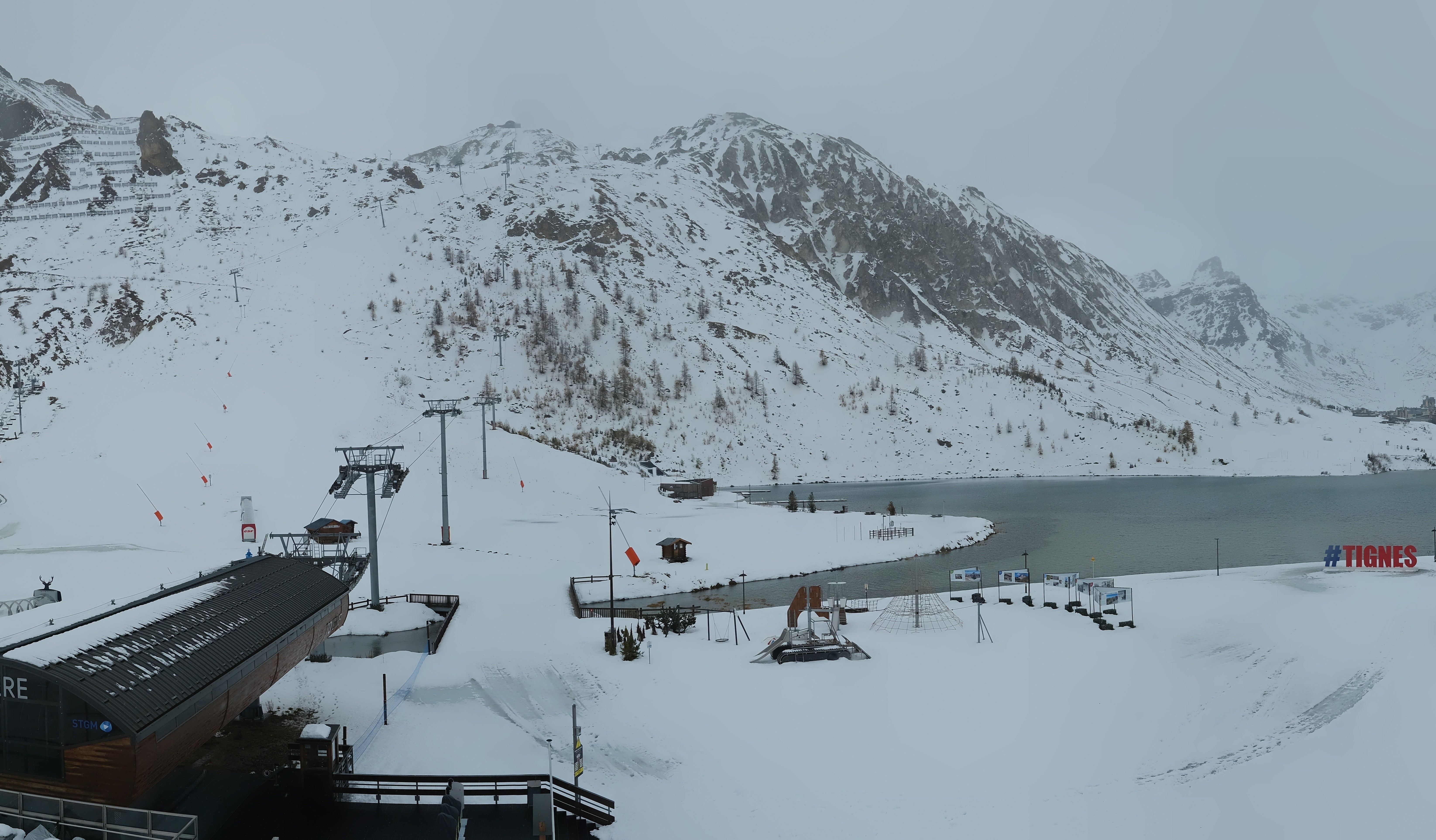
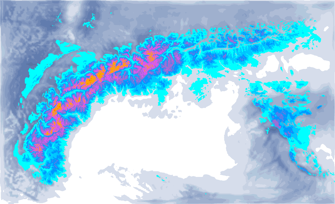
The large quantities combined with the high snowline mean that small rivers and streams may have trouble draining. The situation is particularly dire in Haute Savoie and western Valais, as more precipitation follows this afternoon. Above 3,000 metres, as much as half a metre of snow could fall in the hotspots of the north-western Alps, around the Mont Blanc massif as much as 80 centimetres. In many areas below 3,000 metres, the snow cover has settled in considerably, as shown in the webcam images above from Ovronnaz. Also note the many wet snow avalanches in the background.
.jpg)
Responsible for this high snowline is storm depression Debi over the British Isles combined with a strong zonal jet stream (and the jet streak, the area within the jet stream with the highest wind speeds) just north of the Alps. The cold front can therefore not move across the entire Alpine arc as usual, but instead runs almost parallel to the wind direction. In the process, the Alps will remain just on the warm side of this air mass front, but will receive a lot of precipitation. Meanwhile, on the leeward side, in the southern Alps, it remains pretty much dry.
.png)
The strong warming and rain input will simultaneously cause the avalanche risk in the high mountains to skyrocket. The rain will significantly wet the snow cover up to about 2800 metres altitude. Large spontaneous avalanches are possible. Check the SLF for more info.
Wednesday and Friday snow again
A new precipitation area follows during the afternoon. It remains warm into the evening with a snowline around 3,000 metres in the north-western Alps, only slowly dropping below 2,500 metres. Tonight and tomorrow, cooler air will flow in again, causing the snowline to drop to around 1300 - 1800 metres everywhere. The heaviest precipitation rates will be over by then, I expect a maximum of 10 to 20 centimetres. On Thursday, a small depression core will follow from the Bay of Biscay, heading towards the Alps. In the night from Thursday to Friday, the small low pressure area will bring some snow in the Western Alps. Friday morning and afternoon, this snowfall moves further eastwards. In the Western Alps, it will bring about 10 to 20 centimetres of snow, possibly more in Switzerland and Austria and a snowline that will also drop to around 1,000 metres. Winds seem to pick up considerably during the snowfall on Friday, with stormy conditions in the high mountains.

