We start this new winter season with a lovely PowderAlert for the Northern Alps at the end of November! Last Friday, it was already dumping here with quite a bit of snow, but due to high temperatures and rain, very little of it remained. This weekend, another load of snow is arriving and it will remain cold until Monday (and maybe even longer).
In this weather report:
- Some snow already today
- Nordstau this weekend
- What about the base?
- Where to go?
- How long will it stay cold?

Already some snow
Last night, we saw already some snow in the northern Alps, but it wasn’t that much. Some 5 to 15 centimetres of snow fell in Switzerland and Austria. Due to high pressure from the Atlantic to western Russia, calm is now temporarily returning. Cooler air is flowing into the northern Alps today, so the southern Alps will also experience a strong northern föhn. Tomorrow will be a bit milder again.
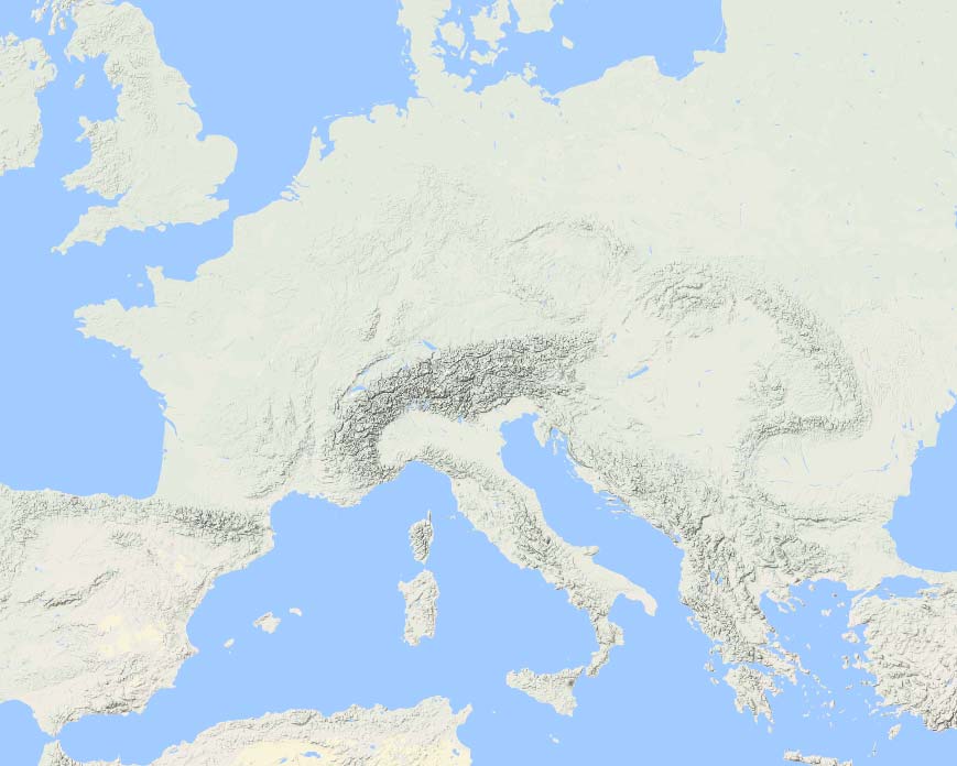
On Thursday, the high-pressure influence over the European continent weakens and at the same time we see the high-pressure area west of Europe connecting with the Greenland High: an Atlantic blockade (black line below). The low pressure area currently still north of Iceland sinks towards Scandinavia and remains strong with a core pressure of around 970 hPa over the Baltic States on Friday morning. The position of the pressure areas creates an arctic slide over the North Sea, where the air can pick up considerable moisture. During the weekend, this flow will bump into the orography of the Alps. With some additional lifting, it’s a proper Nordstau with massive amounts of fresh snow!

Nordstau this weekend
On Friday, the cold front of the low-pressure area will follow. During the afternoon and evening, the snowline drops rapidly into the valleys. It looks like we can expect more or less two main phases in which the snowfall intensifies: Friday afternoon into Saturday morning and then Saturday during the afternoon into the night. However, with a Nordstau like this one, it could also snow solidly for longer and continuously in the typical Stau areas. In Austria, this seems to be the case on Sunday afternoon, as it stops snowing from the west due to increasing high-pressure influence. Throughout the weekend, the snowline will remain in the valleys.
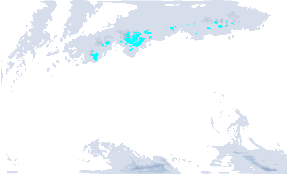
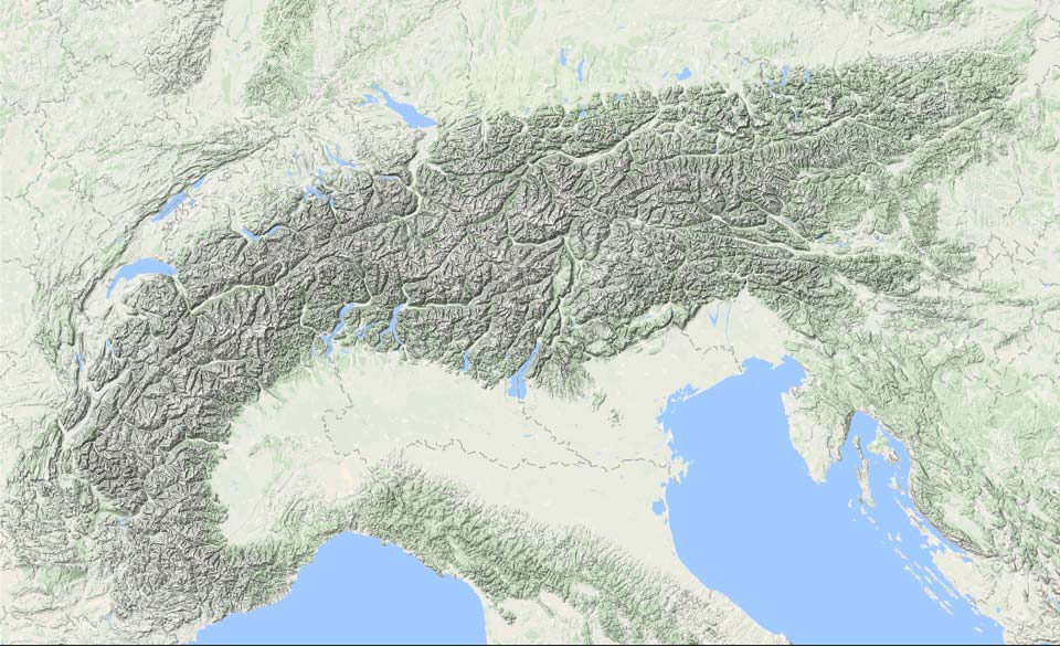
Even though the models have been fairly unambiguous over the past few days, we still have to keep a wary eye on the exact amounts. In summary: up to and including Sunday evening, half a metre of snow is possible in many areas on the north side. In the real Nordstau regions up to a metre of snow will fall, even more than 1 metre is not out of the question either. Check the forecast for more details for the individual areas. Hotspots can be found from the eastern Bernese Alps, Glarus Alps to the Arlberg and then around the Salzburgerland. The Tauern region is also packing quite a bit of snow. In general, inner-alpine areas catch less snow than those at the northern alpine edge.
What about the base?
Last Sunday, it rained up to about 2,500 metres, above which most of it still fell as snow and is wintry. Below that, the rain significantly affected the snow cover (see below). In areas where no large amounts fell last Friday, the base up to around 2000 metres is thin or even gone altogether. In the Nordstau areas from last Friday (Kleinwalsertal, among others) there is also more down to lower still (not everywhere!), even though it rained heavily there too on Sunday.
Where to go?
It is late November, so not everywhere you can find lift-access powder yet, but there are now quite a few options anyway. An overview:
Of course the Austrian glacier areas:
Kaunertaler, Pitztaler, Sölden, Stubaier, Hintertuxer, Kitzsteinhorn, Mölltaler.
It will continue to snow until Sunday and visibility in the high mountains is poor, so it may also pay to check out the other non-glacier areas that are already open.

Other areas:
- Andermatt - Gemsstock (partially open)
- Arosa - Lenzerheide (check info here)
- Ischgl - Samnaun (from Wednesday opening weekend, large part of ski area opens)
- Engelberg (partially open)
- Davos (partially open)
- Montafon - Hochjoch (Friday to Sunday, partially open)
- Gurgl
- Axamer Lizum (from the weekend onwards)
- Bergeralm (from weekend, note: less snow expected here due to inneralpine location)
- Hochfügen (weekend, partially open, 8er Jet & Waidoffen chairlift)
- Kitzbühel Resterhöhe (and according to the Fahrplan also part of the core area from this weekend)
- Sportgastein (weekend)
- Obertauern (from Friday, partially open)
- Schladming/Reiteralm (partially open)
A few more areas might follow. In other places you’ll have to work hard for powder and go touring.
(The list may not be complete. Do you have additions? Write a comment below)
How long will it stay cold?
How long the Alps will stay in these cold air masses is not yet entirely certain. The models were quite positive for a prolonged cold phase, but the Atlantic blocking is a lot weaker by last night’s calculations, allowing Atlantic depressions to reach the European continent and a western circulation to bring milder air masses.
Both the European and US models show that anything can still happen from Tuesday. For now, with temperatures around 0 to 5 degrees at 1,500 metres altitude in the Western Alps, it is not yet about a solid warming, but it is a big contrast to the earlier calculations. This could also include precipitation again, with thus a higher snowline. Still, the cold air is not far from the Alps either (see the temperature map at 850 hPa (about 1500 metres altitude) above and move the slider to Monday). The eastern Alps might just stay nice and cold for an extended period of time. Very exciting things for November! Therefore:
Friday a new update!
An update on this first PowderAlert of the new winter season will follow on Friday.
Previous weather report:
Reacties
Great!
Thanks for the update, I really apprechiate you beeing so detailed and logic.
Last year I went down to Austria after one of your northstau-alert and I had a blast. Hoping to hit something similar this season.
Keep up the good work!
/Jan
thanks


