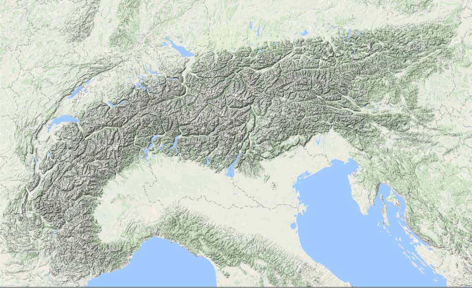
Our forecast map says it all. We will face a turbulent phase with a highly variable snowline in the coming days. Large amounts of snow, but also large amounts of rain. From the middle of next week, improvement is fortunately in sight.
In this weather report:
- First snow for the Western Alps
- Higher snowline
- Atmospheric river
- Rain…
- Improvement in sight

First snow for the Western Alps
It is currently snowing in the Western Alps, which can also be seen on the radar image above. The cold front also grazes the Northern Alps but here the snow amounts remain more limited. You can see the expected snow amounts for this Friday below in our 24h forecast. In particular, ski resorts in the Alpes-Maritimes such as Auron and Isola 2000 will get around 30 centimetres of snow anyway. In the other areas it will stay at 10 to 20 centimetres, on the north side a bit less.

A new depression approaches on Saturday. On the northern side, it will provide some föhn, with an alternation of sun and clouds and slightly milder conditions. In the north-west Alps, the clouds become denser quite quickly and the first snow could fall during the afternoon. Initially, the snowline will be low for a while, but warm air will move in, quickly raising it to around 2,000 metres, possibly a bit higher in Haute-Savoie, among others. In the same night, colder air also moves in from the northwest, allowing the snowline to drop again to around 1,500 metres, a few hundred metres lower on the northern side.
In the north-west Alps, with a focus between Savoie and Arlberg, 20 to 40 centimetres of fresh snow could fall, but with the stormy and temporarily mild conditions only at altitude. We will only see the biggest accumulations from 2,500 metres onwards. For a while, with increasing high pressure, it will be dry during the day on Sunday, but the next precipitation phase will already follow in the night from Sunday to Monday.
Atmospheric river
The jet stream is going to exert a considerable influence on the Alps, but it will be quite northerly, putting the (North) Western Alps in particular in really mild air. In the process, there could also be a fair amount of precipitation. A term used in meteorology for this phenomenon is atmospheric river. These elongated rivers in the air transport huge amounts of moisture over a long distance.

I show two graphs that illustrate this atmospheric river well. First, above you see a chart of the total amount of precipitable water. It is the depth of water in a column of the atmosphere if all this water in that column were to fall as rain. The atmospheric river really stands out with very high values (the green colours).
In the other areas, you see a lot of brown colours, but it is certainly not dry. On Sunday’s map, for example, there is a low pressure core near Ireland with rain around it as well, and in Eastern Europe there may be some snow or rain showers in a large area, but these water amounts are just all much less than this atmospheric river directed towards France. Strong fronts can also reach high values, but an atmospheric river is thus about the constant supply of these areas with large amounts of precipitable water.
The second image below shows the equivalent potential temperature. This is determined by both the “normal” temperature and humidity. So the high moisture content of this air mass partly determines the high values, but so does the temperature. The equivalent potential temperature is a useful parameter for meteorologists to determine the snowline, more on this in a background article soon!

In the new calculations, this flow with high values of equivalent potential temperature seems slightly more favourable, possibly lowering the snowline, but these are just small details that ultimately do little to change the overall weather picture from rain to high altitude.
Rain…
By the end of the weekend, this precipitation will reach the north-west Alps. In the inneralpine regions, snow may continue to fall for a while with a fairly low snowline, but eventually due to strong to stormy winds, I expect it to turn to rain everywhere below 2000m on Monday. Among others, in Savoie, Haute Savoie, Valais and central Switzerland temporarily also up to 2,500 metres. Also in Austria, the snowline will temporarily rise significantly to around 2,000 metres. The further east, the lower the snowline remains, but here too, rain thus seems inevitable.
Due to the large amount of available moisture and the collision of these air masses on the mountain range (and thus creating additional orographic lift), heavy rainfall is possible. In lower areas, it may cause flooding as streams and rivers may burst their banks, (small) landslides are also possible.
At the same time, this does mean that the north-west Alps above 2,500 metres can expect huge amounts of snow, but with stormy conditions, high avalanche risk, a complete whiteout and a high chance of closed lifts, this does not help much either. 100 to 150 millimetres of precipitation seems possible for now. Higher up, therefore, from Savoie to the Arlberg, one to one and a half metres of snow could easily fall, maybe even more. In the lee, it will remain almost dry in large parts of the southern Alps.
Improvement in sight?
During the night from Tuesday to Wednesday, cooler air finally enters the Alps from the northwest, which will lower the snowline again everywhere. The exact timing of this cold air flowing in is still uncertain. On Wednesday and Thursday, the Northern Alps should still expect snow showers, after which a high pressure area seems to temporarily ease the Alps.
Reacties
100 to 150 mm of rain… love it. Why is the lowest depression delivered with higher temperature? Small snow showers comes with lower temperature. I’m longing for a opposite world where big dumps comes with cold temperatures.
Any rough idea how will it affect slopes in resorts at around 1800 ? Alpe dhuez / Les Deux alpes ?
not good(


