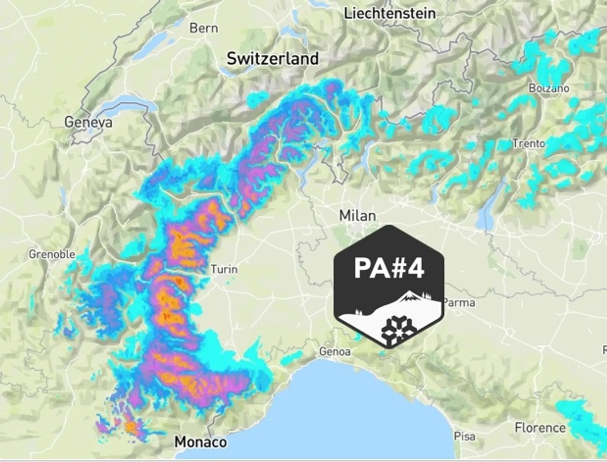
The PA#4 precipitation cycle has already delivered up to ~35 cm of fresh snow, and on the Italian side it’s really only just getting started. Time to zoom in on fresh snow so far — and where powder will be piling up. Today we cover:
- What’s already on the ground
- Latest insights: more snow for northern Piemonte?
- Avalanche danger — still very real
- Powder action in the Pyrenees
- A consistent weather pattern is likely

What’s already fallen
A quick lap through webcams and snow stations shows things are definitely waking up on both sides of the border. On the French side, Auron and Puy St. Vincent lead the way with around 30 cm, while Pra-Loup, Orcières-Merlette and Puy St. Vincent also scored fresh snow. Closer to the main ridge, places like Val d’Isère and Montgenèvre have seen some snow as well. Across the border in Italy, a widespread 10–15 cm has already fallen, with deeper pockets in Ceresole (30 cm), Limone (25 cm), Bardonecchia (25 cm) and Macugnana (20 cm). Deeper into the Aosta Valley, amounts are smaller — generally 5–10 cm so far.
Latest insights: northern Piemonte loading up?
Snowfall in the southern French Alps is fading this afternoon, but on the Italian side, it’s a different story. Snow keeps falling — steadily and persistently — right through Monday evening. Intensity will pulse up and down, but duration is king here. Our earlier estimate of 40–80 cm for Piemonte, with local spots up to 1 meter, still stands strong. Snow will fall above ca. 1.000m, meaning nicely low with cool temps.
What’s new today: the zone between the A32 (Modane) and A5 (Courmayeur) now clearly joins the sweet spot. Champorcher already has 25 cm on the board, with at least the same amount still to come. The Monte Rosa massif may reach 25–50 cm total, though a larger share of that has already fallen.
Along the main ridge, wind is once again shaping the snow — keep that firmly in mind when picking lines.
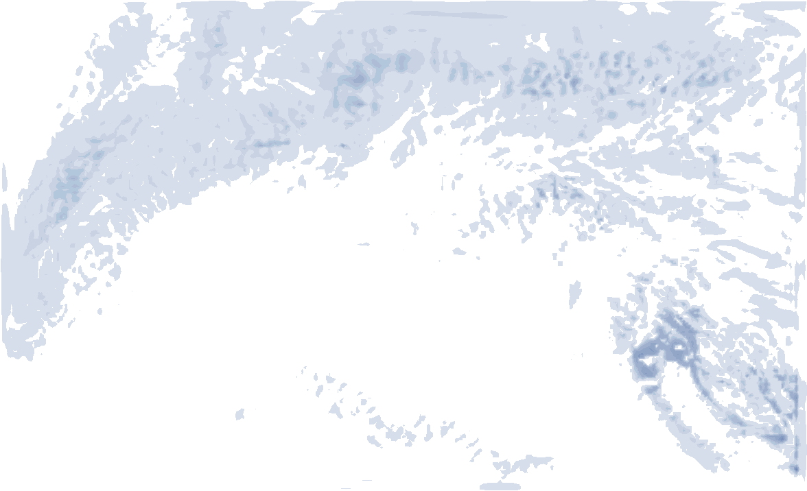
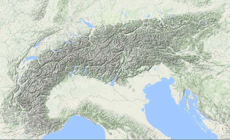
- 1cm
- 5cm
- 10cm
- 15cm
- 20cm
- 30cm
- 40cm
- 50cm
- 75cm
- 100+
- 1mm
- 5mm
- 10mm
- 20mm
- 30mm
- 60mm
- 120+
Avalanche danger
With fresh snowfall landing on an already very unstable base layer, danger sits at at least level 3 everywhere, and locally level 4 in the French Alps. Last week’s snow was already extremely easy to trigger, and with fresh snow plus recent wind loading, conditions remain very tricky in many places. Depending on how much more snow falls, parts of Piemonte may also tip into high danger. This winter has built a sketchy foundation, so conservative route choices are not optional — they’re essential. Trees, mellow angles, clean exits.
Stay safe, ride smart.
Powder in the Pyrenees too
While the Western Alps grabbed most of the spotlight yesterday, the Pyrenees are very much in play as well. Thanks to the low pressure track, snow falls with an southerly, later easterly flow. Above 1400–1600 m, many areas are stacking 30–80 cm of snow. Today, snowfall favors slopes on and south of the main ridge. By Monday, the flow turns more easterly, intensifying snowfall on the eastern flank of the massif, especially on the French side, with a lowering snow line.

On the Spanish side, snow depth is currently above average, with around 90 cm at 2200 m. On the French side, the contrast is sharp: about 40 cm at 2000 m in the west, versus 100–140 cm in the east, where there’s also a solid base down to 1500 m. Main threats here: wind slabs and big accumulations. Different snowpack, same rules — check local bulletins before dropping in.
For the French side. Locally risk is high!
For the Spanish side
Eastern Alps: foehn mode
While the Italian inner arc keeps collecting snow through Tuesday, much of the rest of the Alps sits in foehn conditions.
North of the Alps it’s sunny and mild, with around +2°C at 2000 m and locally strong foehn winds. South of the ridge it’s cooler, but with stubborn cloud decks below 2000 m, especially today. These should gradually break tomorrow.
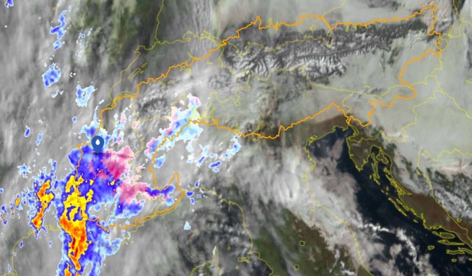
Models hint at a glancing blow of ~5 cm for parts of the Dolomites and Carinthia between Sunday afternoon and Monday morning.
A consistent weather pattern is likely
This setup strongly echoes PowderAlert #2 from late December, when a Mediterranean low kept feeding snowfall into Piemonte and surrounding regions. And the pressure pattern for the next 2 weeks seems strongly indicative to follow the same large scale pattern as the last few weeks!
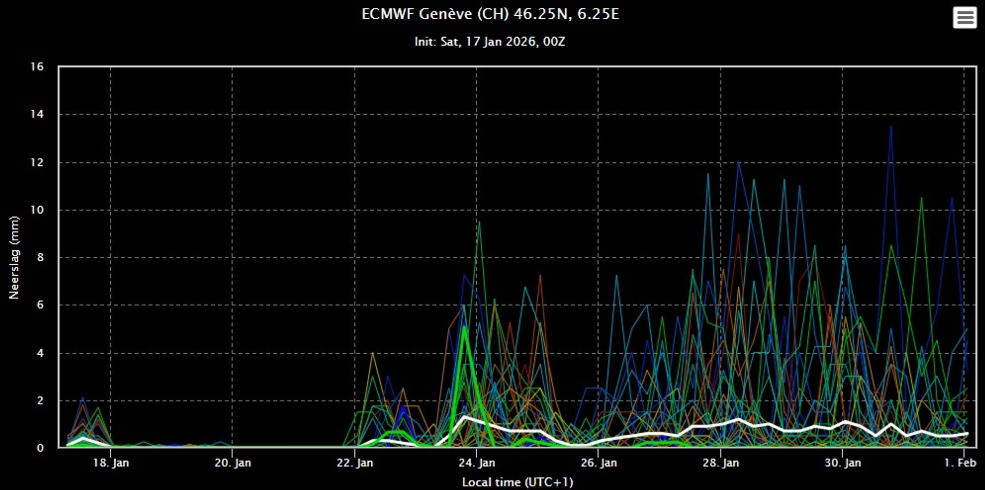
High pressure over northern / northeastern Europe keeps pushing dry (sometimes cold) air into central Europe, while low pressure over southern Europe repeatedly fuels precipitation in the southwest. That signal shows up clearly in the charts for the next two weeks.
What’s striking is how similar next week’s pressure pattern looks compared to this one — just colder. Even in the long-range ensemble means, a distinct low-pressure axis remains visible. Details will decide the jackpots. A small, aggressive low slipping between these larger patterns can flip the script fast — just like last weekend, when a slightly more northerly track dumped big time in the (north)western Alps. Southwest & Southern Europe stay active the next period and the Alps come back into play from next weekend. A first weak front may already reach the French Alps by Thursday.
Reacties
Nice that you have included Pyrenees in these Powder Alerts.
Anyone tips for a guide in Limone Piemonte from wednesday? For touring/freeriding?
[email protected]
Incredible underwhelming PA so far (Artisano), temps always a little too high, more snowmix/close to rain than actual good snow, let’s see what tonight brought
Incredible underwhelming PA so far (Artisano), temps always a little too high, more snowmix/close to rain than actual good snow, let’s see what tonight brought
powderhoundmoritz - 19 Jan 2026 05:57
Exactly the same situation in Prali unfortunately. Have had som good snow but not what was expected.
Same in Limone Piemonte and zero visibility
Indeed yesterday was disappointing. Less snow and (therefore) higher temps. Today is colder but not much snow too come I believe. Limone got 15cm over night, also Sestriere 5-10cm. Visibility still an issue today.