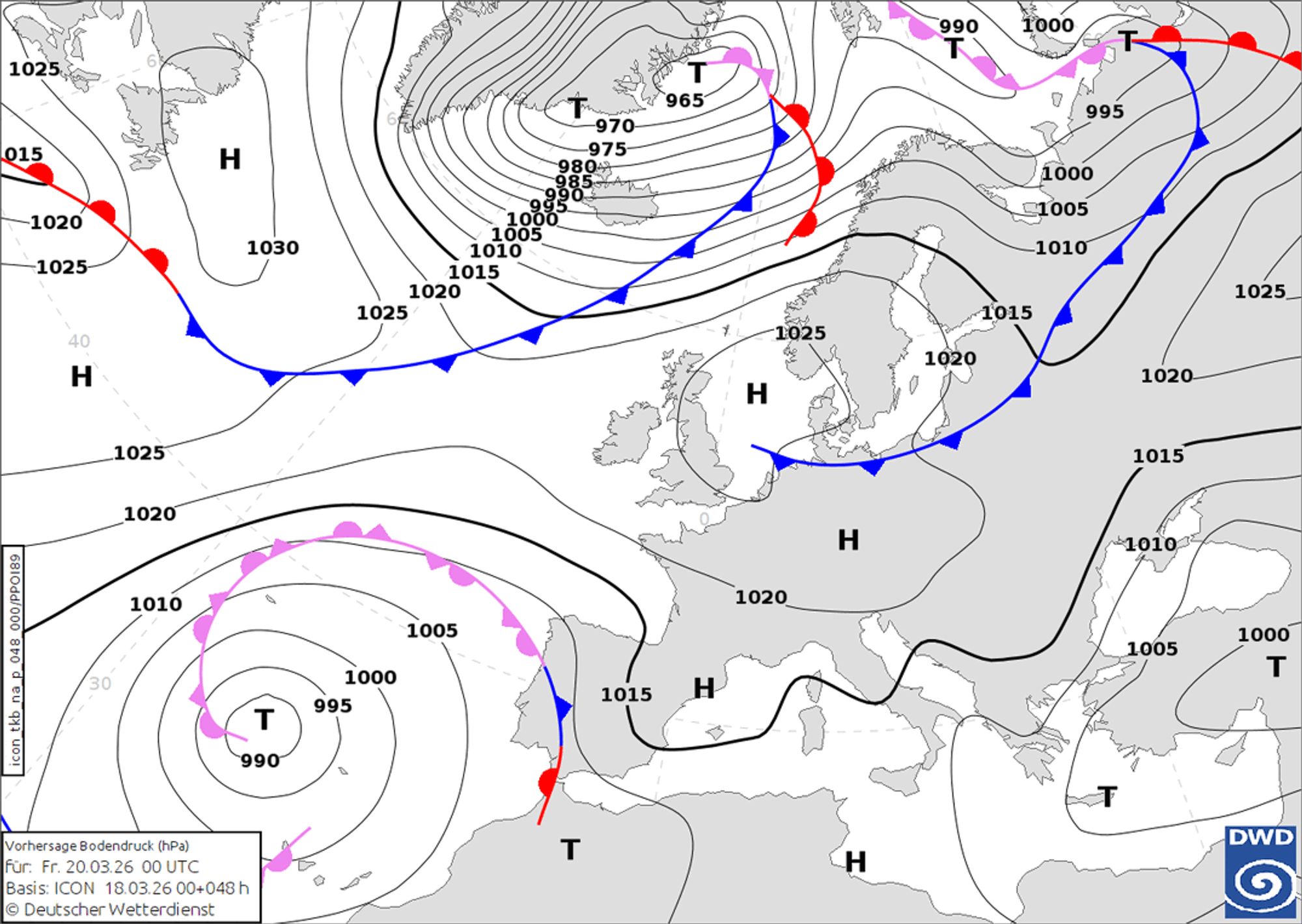
High pressure is once again dominating Central Europe, but in this forecast I’ll focus on the brighter spots we’re seeing.

Guggiföhn
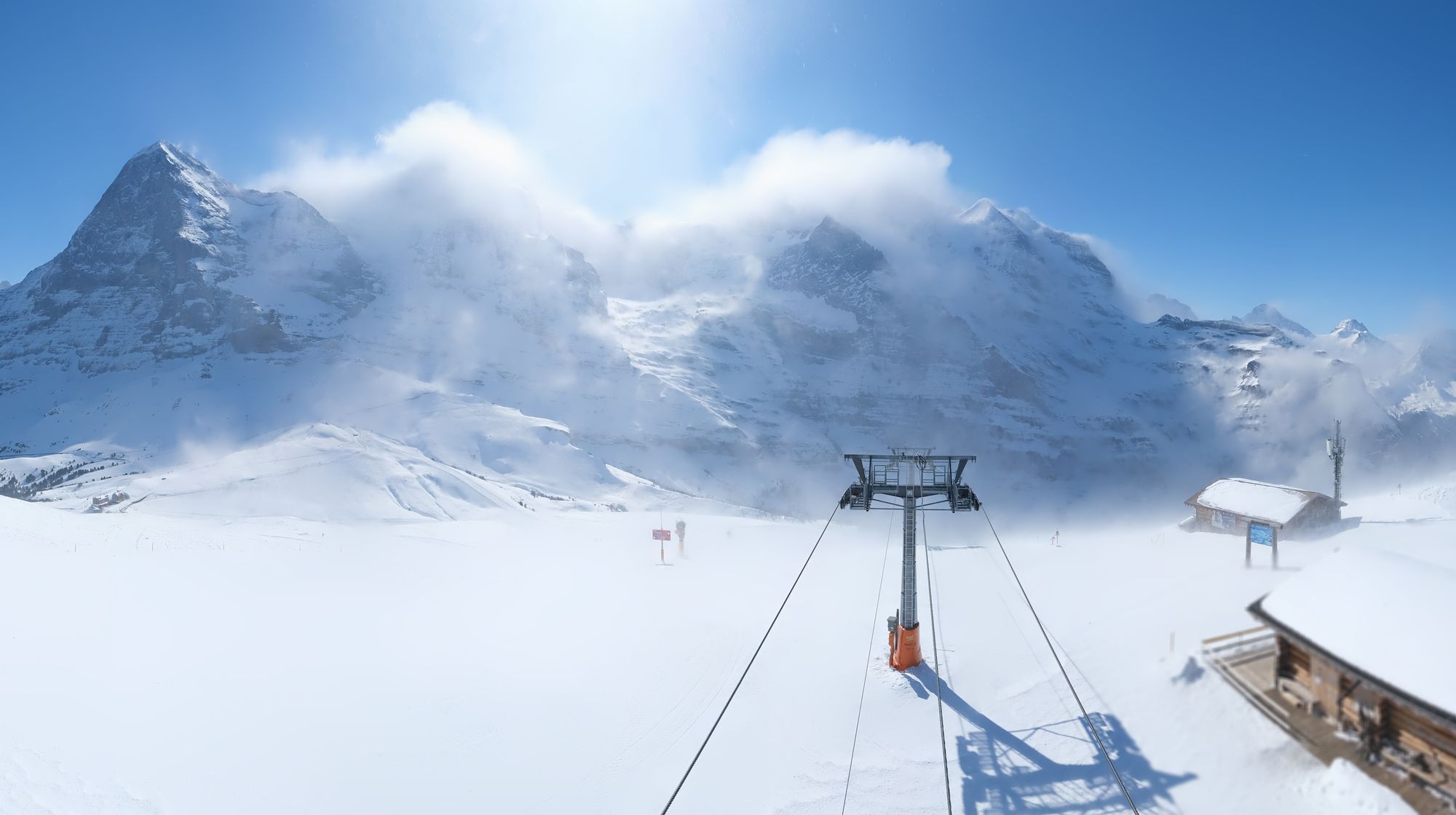
Today (Wednesday) brought remarkably strong winds to parts of the French Alps and Swiss Alps due to föhn conditions, triggered by a trough passage from east to west combined with a pocket of cold air. At around 700 hPa, very cold air (-13 to -14°C) was present on the southern side, which (pushing in from the east) caused a rapidly increasing pressure gradient and a sharp transition to strong föhn winds.
In Switzerland, this manifested as a rare southeasterly föhn known as the Guggiföhn, which packed a punch with gusts exceeding 100 km/h at several mountain stations; the impact was clearly visible at Kleine Scheidegg. Many French resorts also experienced an abrupt shift to stormy föhn conditions, forcing lift closures at higher elevations. In the high alpine, fresh wind slabs will have formed locally. In parts of Piemonte, brief orographic lifting produced a bit of snowfall, but accumulations remained limited to just a few centimeters.
Dry until the weekend
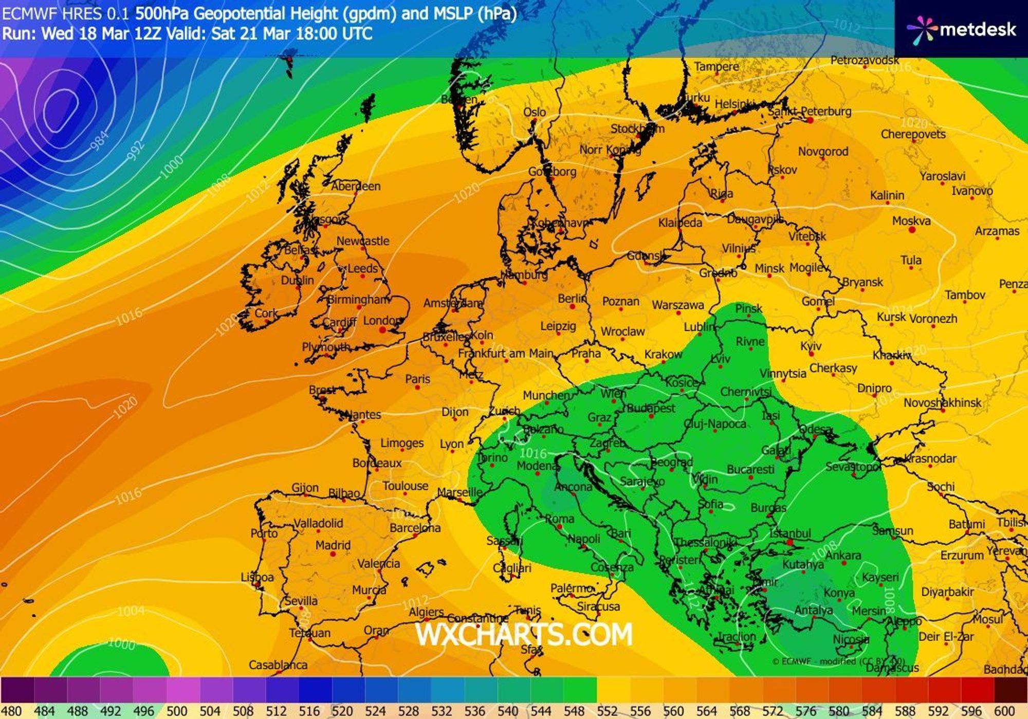
The coming days will stay dry. Aside from some harmless cumulus clouds, conditions will be mostly sunny across the entire Alpine arc. On Friday, a weak front will attempt to enter the Alpine area from the north, but it won’t fully reach the Alps. The northern Alps will, however, see increasing high cloud later in the day.
Unsettled weekend with showers
Over the weekend, an upper-level low drifts in from the east toward the Alps. These systems contain cold air aloft, which combined with the stronger March sun creates a larger vertical temperature gradient. This allows warmer surface air to rise more easily into higher layers, triggering (snow) showers.
We expect this on both Saturday and Sunday. On Saturday, mainly in the Eastern Alps at first, spreading later in the day toward the Southwestern Alps. On Sunday, the Southwestern Alps again look most exposed to these showers. Exactly where the most snow will fall remains uncertain, so treat the forecast below as indicative. Model spread is still significant, and with such upper-level lows, forecasting 3-4 days ahead is challenging. The snow line will be around 1200 meters.

- 1cm
- 5cm
- 10cm
- 15cm
- 20cm
- 30cm
- 40cm
- 50cm
- 75cm
- 100+
- 1mm
- 5mm
- 10mm
- 20mm
- 30mm
- 60mm
- 120+
Significant snowfall next week?
After the weekend, high pressure from the west will regain influence, although it looks less convincing than before. Compared to this week’s pattern, differences are expected to increase, especially higher up in the troposphere and in the jet stream configuration. While the northern jet stream keeps winter at bay this week, it is forecast to dip further south next week, potentially aligning more directly with the Alps.
Both models indicate that by midweek, a low-pressure system will move from the Atlantic toward the North Sea and then continue eastward. This would open the door to a northwesterly flow, bringing serious snowfall potential for the Alps. However, ensemble data shows it’s still too early to get overly excited, as the spread in both temperature and precipitation remains large for now.