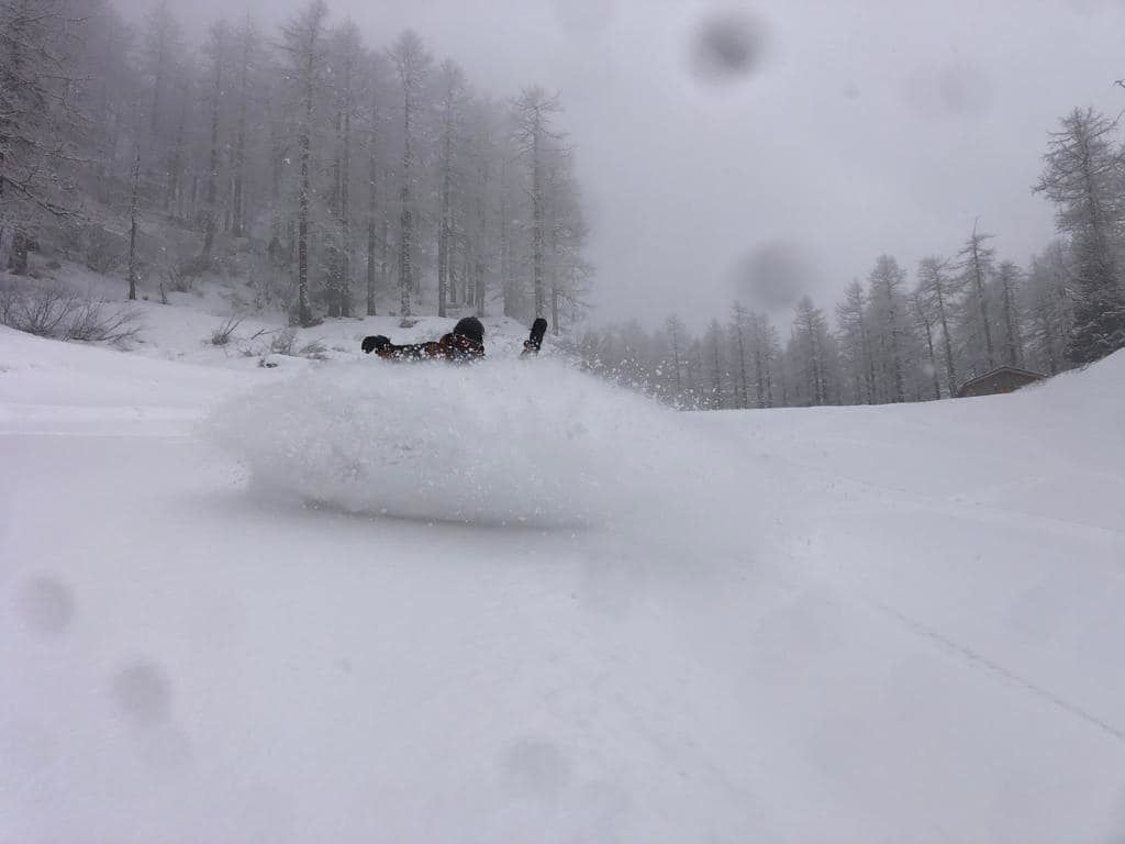
Finally some snow for the Southern Alps! It has already started in the French Alps and later on, a large part of the Italian Alps will follow as well. Until tomorrow, the southern Alps can get quite some snow. In the following days, the jet stream will provide powerful westerlies. We can expect snow, rain and especially a lot of wind in the western and northern Alps. A short update today.
Snow in the Southern Alps
In the French Alps, it has been snowing heavily today. A total of 20 to 40 centimetres of snow will fall here above 1000 to 1300 metres. In the coming hours, this snow will spread further to the east. First in Lombardia and then during the night in the Dolomites it will start snowing. Especially around the Adamello region, there’s a lot of snow, with 30 to 40 centimetres of fresh snow. The northern side of the Alps will also get some of this snowfall, but the amounts will be mostly limited to about 5 to 15 centimetres. Also in the Southern Alps it’s not a big dump. Especially in these regions, despite the fresh snow, you’ll have to be careful because the base is not great everywhere due to the extremely dry winter.
Stormy days
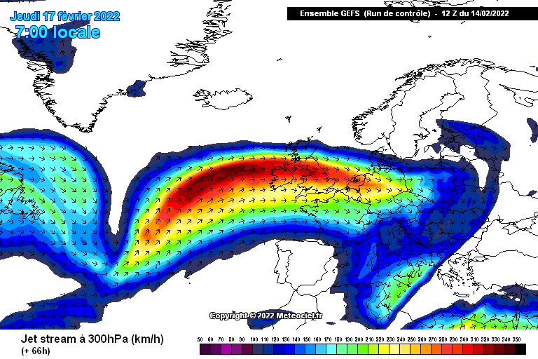
From Wednesday onwards, the wind will play a major role. This has everything to do with the jet stream which will pass just north of the Alps from west to east in the coming days. It will be very turbulent, especially in the Western and Northern Alps. As early as Wednesday, this flow will also bring a portion of warm air from the west to the Alps. This will be accompanied by a large precipitation area, which unfortunately will also bring rain. Initially, I expect snow up to below 1000 metres, but due to the powerful westerly wind and the supply of this warm air, the snow line in the western and northern Alps will quickly rise to around 2000 metres. Only in the high mountains there might be serious snow accumulations, with in the Northwest Alps around 30 to 40 centimetres and possibly even more, but with the stormy wind I expect especially higher up many closed ski lifts and a lot of snow displacement. Below 1500 to 2000 metres, most of this precipitation will fall as rain. The southern Alps are a bit more favourable and don’t get as much precipitation and wind.
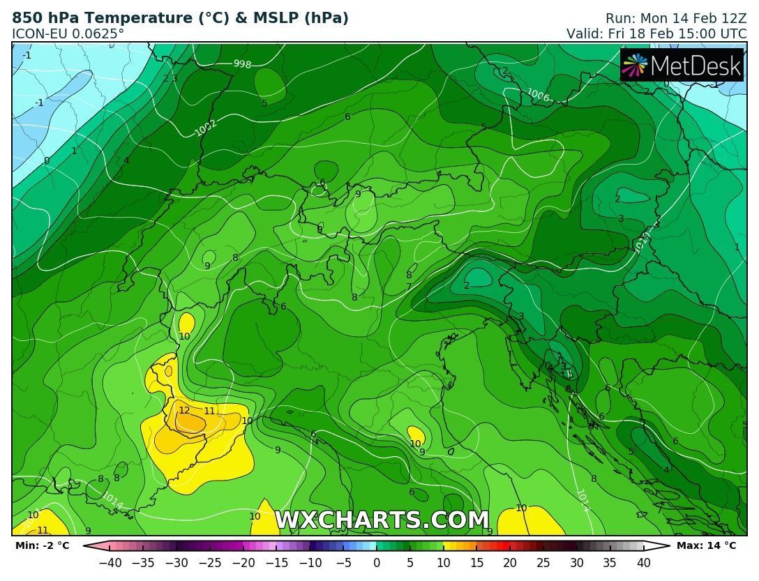
Friday it will be dry, but once again very mild air will be brought in with up to 10 degrees at 1500 metres. In the night from Friday to Saturday, the northwest will bring some cooling and some snow with a cold front, but it doesn’t look like it will bring much. The wind will probably remain very strong during the weekend.