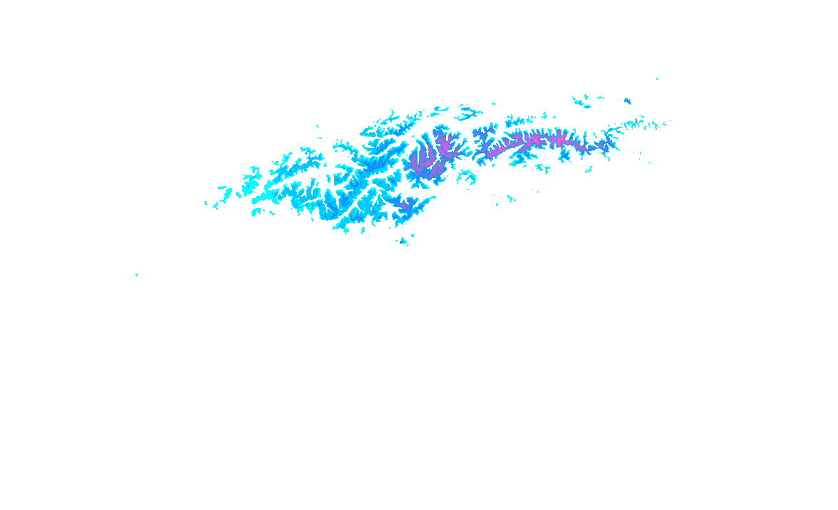
Snow forecast: next 6 days

  • 1cm
  • 5cm
  • 10cm
  • 15cm
  • 20cm
  • 30cm
  • 40cm
  • 50cm
  • 75cm
  • 100+

Most snowfall

Never miss a PowderAlert!

Get updates on the latest news, PowderAlerts and more!

Recent
Wet and very mild, drier on Friday and Saturday

Between reviving depressions over the Atlantic and high pressure over the eastern Mediterranean, a humid and very mild southwesterly flow has developed. This has caused a lot of precipitation in recent days, with regional flooding once again. On Thursday, another significant precipitation area will follow, with the snow line unfortunately barely dropping.

Right in the middle of the big September snowfall

What a snowstorm! And this is just the beginning! In the coming days, even more snow is expected due to strong stau against the Northern Alps. The snowline is still quite low as well. Above, you can see the Snowgrid analysis from Geosphere Austria, which gives a good indication of what has already fallen over the past 24 hours.

Live: Boom! Heavy snow in the Alps

As predicted, it’s really going off in Austria. There’s an incredible amount of snow falling, and it’s expected to continue for a while. The first webcam images show a landscape we normally wouldn’t see for several more weeks! I’m curious who will be the first to make the season’s first turns on a snow-covered meadow.

First snowfall on the way with excessive precipitation amounts

A new season with new powder is coming! Another very warm summer is coming to an end and once again the Alpine glaciers have had a difficult period with large ice losses. Fortunately, the glaciers are getting a much-needed first layer of protection in the upcoming week and we are approaching the (hopefully snowy) winter.

Dream trip: Ski & Sail in Svalbard

The word ‘bucket list’ is often used for no reason, but this time it really fits. A trip that every skier or snowboarder should have done and that may completely change your view of the world. From May 9th to 17th we will take a very special trip with a group of passionate skiers and boarders: Ski & Sail in Spitsbergen!

PA#18: Nordstau-light with potential for more

After a very warm period in the Alps, a strong cooling will now follow. Higher up, the snow cover grows steadily over the next few days. A nice layer of snow will fall until Thursday evening. After a short break on Friday, more snow could follow over the weekend! Time for PA#18! I could actually have taken the title of the previous weather report as well, as we are in fact once again emerging from an extraordinary situation in the Alps with two consecutive record-warm weekends.

PA#17: From summer heat to some fresh snow

After the exceptional warmth of the past few days, a cold front will bring a solid cooling and a fresh layer of snow. It will get about 15 to locally 20 degrees colder and the snowline will thus drop nicely. Taking a quick look at two snow graphs in Tirol, we can see that snowmelt at altitudes of around 2000 metres is now in full swing.

Live from PA 16: Powder in Puy Saint Vincent!

We’re experiencing a record season in the Pays des Écrins. There’s a whopping 4 meters of snow at the top of Pendine. Even the entrance to the renowned Col de Bal is directly skiable, with the large rocks hidden beneath a thick layer of snow. And there are meters of snow on the pillows. It seems like the season is far from over.

Riding in Japan

Typically, I spend my winters in the Alps, hitting the slopes for some powder, summiting a few peaks, and when it’s warmer, practising tricks in the park. Supported by Penguin Powderwear, I decided to chase the snow to the other side of the world this winter: Japan. I January I arrived in Japan. The culture, food, and temperature change from my previous surf-filled months in Australia left me feeling excited to explore this new country.

PA#16: Lots of snow for the south-west Alps!

In the coming days, there will be quite a bit of snow again on the southern side, especially in the western part of it. More snow is likely to follow from the weekend onwards. In some regions, accumulations could reach serious levels. Strong Atlantic depressions will remain more or less stationary just west of Europe in the coming days.

PA#15 for the northwestern side

We can expect some nice snowfall in the Northwest-Alps with a low snowline. Much more snow may follow over the course of next week with a south-westerly flow, but details on this are not yet known. A separate small low pressure core, part of the extensive low-pressure area off the coast of Norway, will bring snow from the northwest on Saturday.