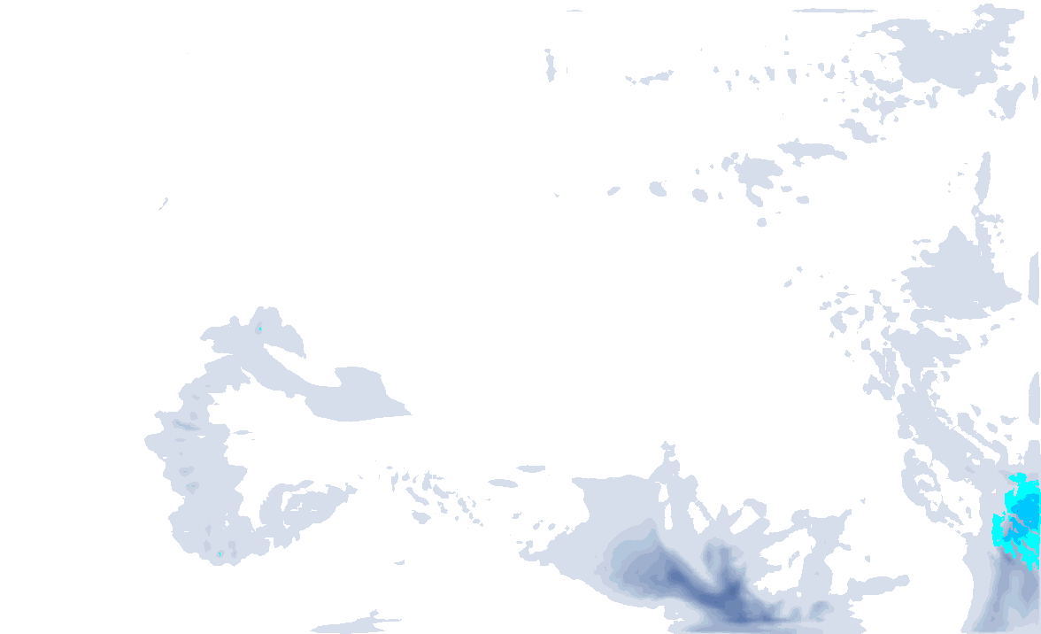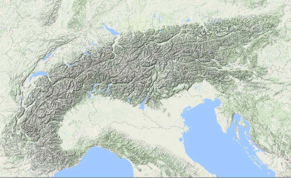
A mild phase is knocking at the door early next week, but we will first have to deal with snowfall from the west. In France, around 20 to 30 centimetres will fall in the upcoming 24 hours. PA#3 is for France, because the snowline will be nice and low during this snowfall. Some more snow for the north side will follow during the week, but on Friday, it could temporarily snow solidly in the south-west Alps.
Insanely wintry weekend
The weekend went incredibly wintry especially on the north side, with snow, severe frost and Sunday also a radiantly beautiful day (check here). Below you can see what it looked like from above. The northern Alps experiencing mid-winter conditions with snow down to the very lowest valleys and the alpine foreland. On the southern side, last Friday’s higher snowline is clearly visible. Only in the course of Saturday did the snowline drop a bit here too, as expected, but most of the precipitation had passed by then.

Already a bit milder today - Snow in the Western Alps
With the approach of a low-pressure core over southern England, the pressure gradient between the southern and northern sides of the Alps increases, causing the Northern Alps to temporarily experience Südföhn. On the Patscherkofel near Innsbruck, the föhn is already hitting hard, with wind gusts of up to 115 kilometres per hour, accompanied by quite a bit of snow drift. Be careful, because wind slabs will be formed.
A front follows from the west during the afternoon. It will snow for a while in the Western Alps. First in the French southern Alps, with around 15 to 30 centimetres of snow. It will remain cold enough for a low snowline (around or even below 1,000 metres), especially in the inner-Alpine areas, but on the western edge of the Alps it will be slightly milder with a snowline that could temporarily rise to 1,500 metres.
During the night, it will also start snowing more in the French Northern Alps and western Switzerland. The snowline here will stay around 1,000 metres. Here too, I expect amounts from 15 to a maximum of 30 centimetres.

Some snow on the northern side
On Tuesday and Wednesday, the low pressure area moves towards northern Germany. On the backside, some more showers will be pushed against the northern Alps with a north-westerly flow. Much more than 5 to 15 centimetres will not fall from these. On Thursday, there will be more room for sunshine again and it will remain cold, especially in the eastern Alps. However, a new low pressure area is already bringing mild air into the Western Alps.

Friday Southwest Alps
A separate low-pressure core is likely to develop over the Mediterranean on Friday, which could start bringing a substantial amount of snow to the south-west Alps. In the French southern Alps, 20 to 40 centimetres of snow (with again a snowline around 1000-1200m) certainly seems possible, and it is not the first time such a low has caused surprises. It’s definitely something to keep an eye on! According to the current calculations, the core will descend to the south on the same day, with the snowfall also decreasing quickly.

After the weekend possibly mild and precipitation
Developments for after the weekend look a bit less positive. Between a high-pressure area to the southwest of the Alps and several low-pressure cores to the north and northwest, warm and above all moist air could reach the northwest Alps. This could lead to high-altitude rain, but as it is still 7-8 days ahead, a lot can still change.
Replies
Hi Henri, thanks for this. Any advice on which specific resorts will have the best combo of snow and open terrain this weekend? I was thinking the smaller resorts near Verbier (Champex Lac, La Fouly), but they’re not spinning lifts yet. The higher places that are open will have bad visibility and no tree skiing on Sunday (as per the current forecast). Where is open and has high skiing for Saturday and low tree skiing for Sunday)?? Courmayeur and La Thuile maybe? Thank you!!!
I have 14 days planed in alpe d’Huez from 15.12 … so weather forecast now is my daily joy / nightmare depending on the forecast.
Looks like big thaw up to 3300 m … but fingers crossed it will not be so bad …
lets hope this winter will be colder and with more snow
@tarekbayazid it seems like both Saturday and Sunday should be good! It’s looks like it will clear up already in the morning on Sunday in the northwest-Alps.
@Henri, when will the next weather update arrive? Considering going for a short trip skiing from Saturday till Monday/Tuesday, but if it will rain, it doesn’t sound as much fun.
use https://weather.com/ , windy , acuweather to check … it’s better than the first outlook suggested . Warm and wet from Sun to late Wednesday .
@Jonas Vad before noon!

