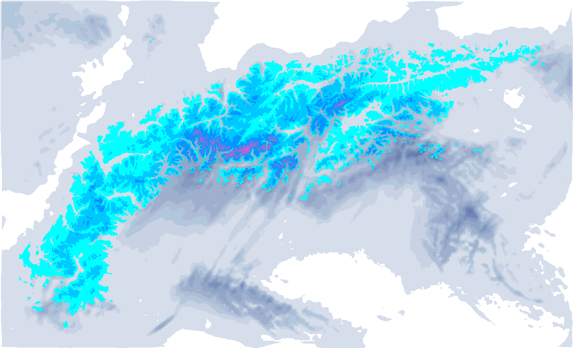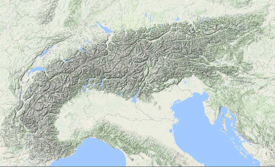
Today (Friday 23:00h) a short update from PA#5. As expected, the northwesterly storm hit the Alps hard with lots of snow in the northern Alps and northern areas in the southern Alps. Currently it is still dumping on the northern side.
High avalanche risk due to particularly heavy wind gusts
Northwest winds have reached tremendous speeds with gusts of up to 170 kilometres per hour on the north side. So, as usual with these windy conditions, the formation of wind slabs is the main problem and will remain so in the coming days.
West of Turin, as expected intense föhn with wind gusts as high as 228 kilometres per hour in Sacra di San Michele at an altitude of 900 metres. The föhn also caused a marked temperature jump. In the Po Valley, the temperature rose to as high as 20 degrees locally due to the föhn in the middle of the night.

The vast majority of ski lifts were of course closed due to the heavy storm. The wind will continue to be strong tomorrow, especially in the Austrian Alps. In France and Switzerland, the wind decreases somewhat, but at altitude it will still be quite strong. So, especially in Austria, I still expect quite a few ski resorts not or barely open. Further west it’s getting better, but high avalanche risk might postpone the opening of ski lifts or even large parts of ski resorts. On the southern side, the Nordföhn remains quite strong, so closed lifts should be taken into account here too.


How are things progressing?
Tonight it will continue snowing full on the northern side, especially in eastern Switzerland and Austria. Tomorrow morning it will already be nice and sunny in the Western Alps due to increasing high pressure, which is expanding further eastwards. In the process, it will become quite mild (especially from Sunday) at a rapid pace. In Salzburgerland and further east, it could still snow all day on Saturday. Here we still see serious accumulations, on top of what has already fallen. Higher up, 30 to 50 centimetres extra will fall. Note that the northwesterly wind will still be very strong here.

After that, the calm picks up a little more, but it continues to be windy in the high mountains, especially on the alpine northern edge and in eastern Austria. In the previous weather forecast, I already briefly discussed it and it was still a bit uncertain, but it really will rain briefly on the north side on Sunday. The jet stream will stay north of the Alps, allowing warmer air to reach the Alps, but at the same time more cloud cover and some precipitation will follow during the afternoon from the northwest. It really won’t be much, but from late afternoon through the night it will temporarily rain up to about 2,000 metres a maximum of a few millimetres on the northern side. Locally, especially in the more inneralpine regions, it will stay dry.
From Monday, there will be more room for sunshine, but it will be quite mild with temperatures of 5 to 10 degrees at 1500 metres. In the following days, it remains predominantly mild in the northern Alps with increasing föhn chances. On the southern side on the other hand, it will remain a bit colder. From Thursday onwards, the chances for some changeable weather patterns increase again and it gets a bit colder, but for now it does not seem to be accompanied by large amounts of snow.

