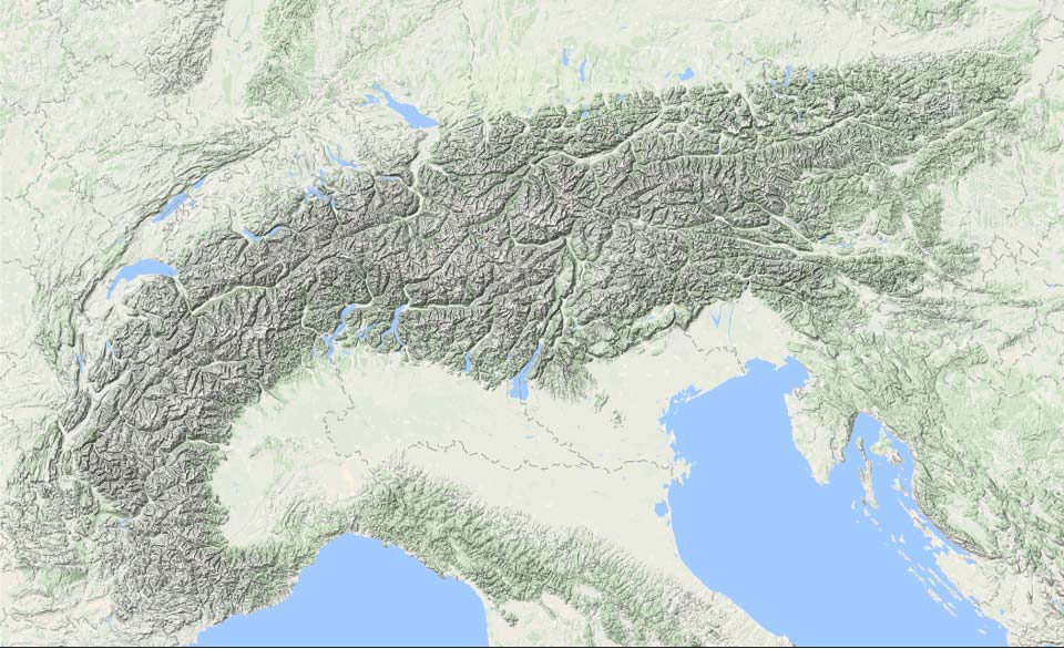
A nice layer of snow follows over the next 24 hours for the Swiss Alps. It could have been a PowderAlert, but due to the limited amounts in a limited area and the subsequent very rapid warming on Thursday, I chose not to issue a PA.
Snowfall in a limited region
So the snowfall is for a limited region, which is interesting, but well explained by two factors. It is related to a (tail) of a warm front (part of a low-pressure area near Scotland) and, at the same time, a very small bubble of fairly cold air at high altitudes over Germany, moving southeastwards and causing increasing instability on a small scale with a short-wave trough. During the second half of the night, this snowfall reached the Central and Eastern Swiss Alps.
Other parts of the Alps will remain dry. The snow won’t reach the French Northern Alps and Western Switzerland won’t get much either. In Austria too, with the exception of higher up in Vorarlberg, I expect very little. Our forecast still includes today’s snow in these maps, so take that into account.
As warm air moves in, the snowline rises from 1000 - 1200 metres to eventually around 1500 metres on Wednesday during the day. Around noon, the intensities will rapidly decrease and it will be dry again pretty much everywhere.
In total, some 10 to 30 centimetres of snow could fall. Locally in Switzerland possibly up to 40 centimetres if lucky, which I expect especially around Engelberg. In the chart below you can see the expected amounts from the German ICON-D2 model. Some (high-res) models also show some more, which I cannot rule out, but I’m not convinced.

No PA, but some options!
If you happen to be in the area, you can take advantage of the snowfall, but for many it does not pay off to head to the Swiss Alps especially for this event. As mentioned, this does not mean that there is nothing to find at all. For this snowfall, you just have to really look higher up. In the core area from Jungfrau to the Glarner Alps, there are certainly some possibilities, e.g. Engelberg. Check our forecast to see at a glance where the most is expected and which areas are in these regions.

Warm!
Be there in time though, because Thursday will get very warm very quickly, with a freezing level reaching almost 3,000 metres in the Western Alps. At 1,500 metres altitude, we will see temperatures of 7 to maybe 10 degrees. Together with the sun coming through, it is of course clear what will happen to the fresh snow below 2000 - 2200 metres…
After that, the weather stays more or less changeable with mainly some snow showers on the north(west)ern side, but it will not get really cold. During the weekend, some ‘cooler’ air scrapes against the Northern Alps with a snowline that seems to stay between 1500 and 2000 metres, but more spring warmth returns on Sunday.
Replies
Any chances some pow in end of March in Switzerland?
Good decision to not issue a Powder alert, since it was warm and that resulted in rain up to 2500m in Engelberg. Resulting in a crust on the snow up to 2500m and wind-blown above 2500m. The pistes were perfect.
Very nice sun though, so decided to ski only in the morning and paraglide in the afternoon.
Next snow dump in April? or should I focus on paragliding already?
Yes, i was wondering about a rough outlook to what the easter holidays will be like. So far the forecast is showing warm weather, more inviting to bring a mountainbike instead of a snowboard

