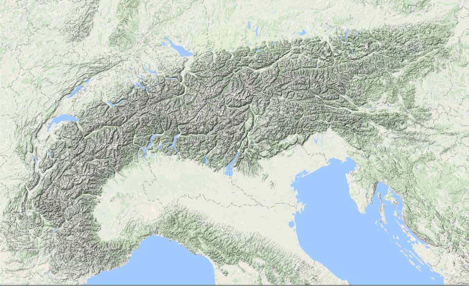
This evening, another (brief) update on PA#2. As we mentioned earlier, there was some uncertainty in the models regarding snowfall in Austria, but it seemed like a hit here too, with heavy snow expected on Tuesday and possibly Wednesday due to ongoing Nordstau. However, the forecasts have significantly downgraded, and we now have to conclude that the snowfall here will be less than anticipated. In contrast, the Northwest Alps have seen heavy snowfalls.

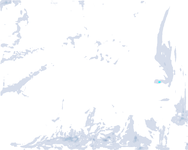
In the expected hotspots of the Northwest Alps, from Haute-Savoie to the Glarner Alps, up to a meter of snow has already fallen at higher altitudes over the past few days, with more snow accumulating during the day. Above, you can see a map of the fresh snow that has fallen over the past days, which aligns mostly with expectations. Be aware that at higher altitudes, due to strong winds, the snow depth can vary greatly, and it will not be uniformly distributed.

From the west, skies will clear more widely on Tuesday. In Austria, snow will continue, but less than expected. So far, 10 to 30 centimeters have fallen, with an additional 10 to a maximum of 20 centimeters expected in the northern areas, less in the inner-Alpine regions. The low-pressure system is already exerting a stronger influence from the west, which is weakening the Nordstau. The pressure difference increases due to the strengthening high-pressure system to the north, which will lead to a fairly strong Nordföhn phase in the inner-Alpine and Southern Alps tomorrow.
From Christmas on, the entire Alps will enter a very sunny period lasting through the weekend. Temperatures will rise from the west, and by the end of the week, the freezing level will rise to 2500-3000 meters due to the high-pressure weather.
High Avalanche Risk
I want to emphasize the high avalanche risk again in this update. The wind has been very active from around 1500 meters upwards. Wind slabs, combined with large snow quantities and the persistent old snow problem, are currently creating avalanche risk level 4 in large parts of the Northwest Alps. Large, spontaneous avalanches are possible. With the clearing skies from the west on Tuesday, the temptation to go out will be strong, but please be cautious in the decision making process.
Our advice still stands that it’s better to stay on less steep tree runs in terrain without terrain traps and strong wind influence. For steeper terrain and higher altitudes, it’s better to wait until the situation stabilizes gradually over the next days. If you’re unsure about the conditions and don’t have appropriate equipment, stay on the marked slopes. Keep up to date with the avalanche bulletins, as snow coverage is not uniform everywhere. The snowfall, wind effects, and old snow problem vary greatly.
Snow for Southeastern Europe
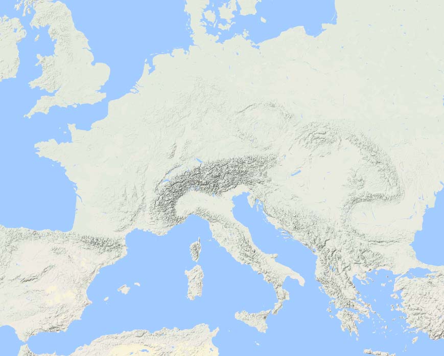
After the PA#2 update for the Northwest Alps, let’s take a quick look at the rest of Europe, as the further moving low-pressure system is bringing a white Christmas to parts of Southeastern Europe. Currently, heavy snow is falling in Croatia, Bosnia, and Serbia, and later it will also affect other areas. The Central Apennines will also see significant snow on Tuesday, especially towards the Adriatic coast (e.g., Majelletta), where local snowfall amounts could reach up to a meter. By the way, in this part of the Apennines, you can still find some surprisingly great options for an exotic ski trip, including the birch tree runs in ski resorts.


