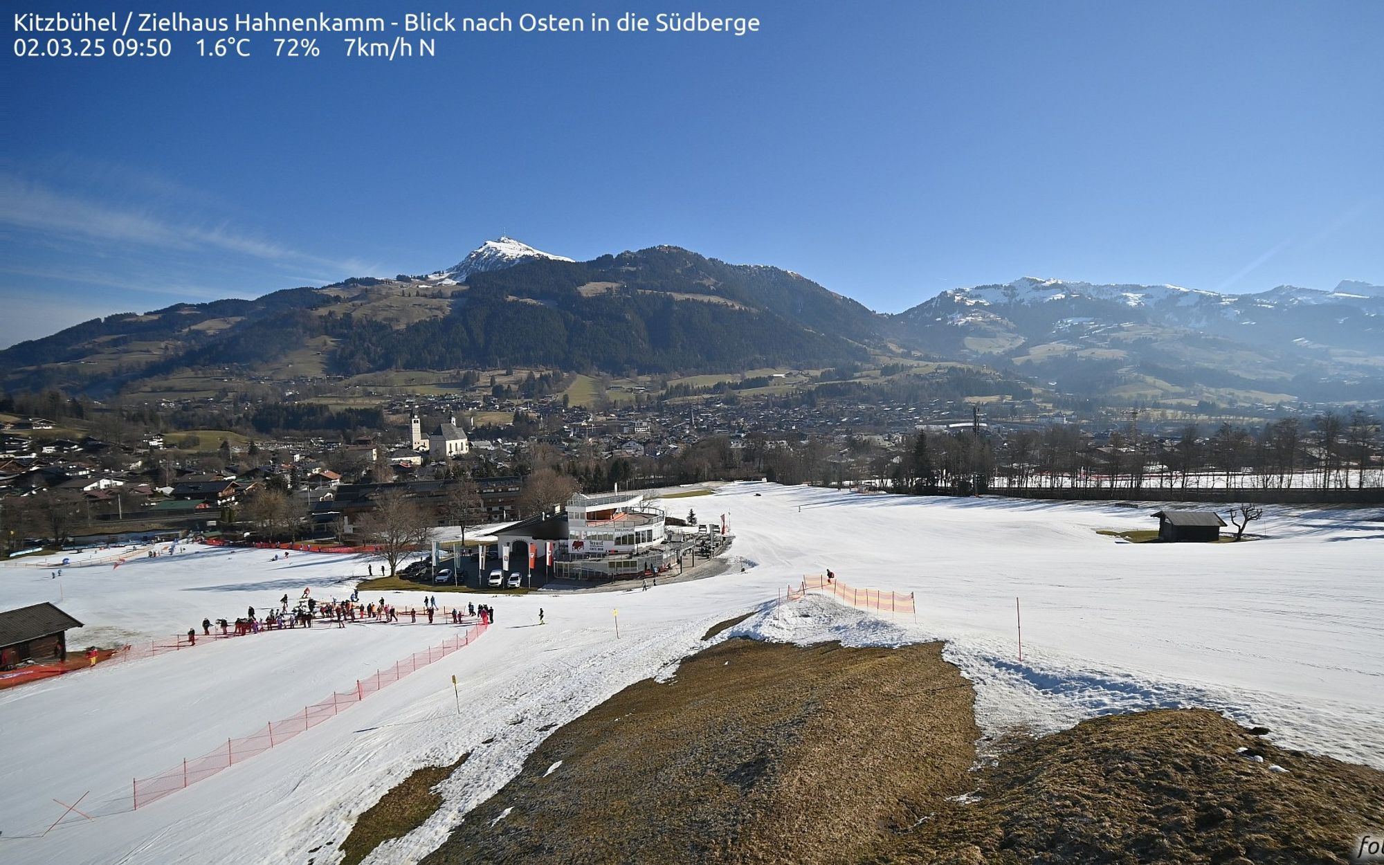
The small amounts of fresh snow last week could not bring any significant improvement in the conditions this mild winter. Below 1500 meters, there is hardly any snow cover in many regions, and above that, there is at most 40 to 70% of the regular cover for early March. The coming week will again be dominated by a high-pressure area, which means it will remain dry with rising temperatures at least until Friday.

Snowfall yesterday was somewhat disappointing
As expected, there was a weak retour d’est and some ‘normal’ sudstau. Around Turin, more than 20mm of rain fell, and it was also wet around Lake Maggiore, with a peak of 37mm in Cannobio. Due to the weak flow, the uplift was disappointing, so the mountains in these regions had to make do with 5-15 cm of snow from around 1200 meters. In the rest of the Alps, it has been completely dry since yesterday.
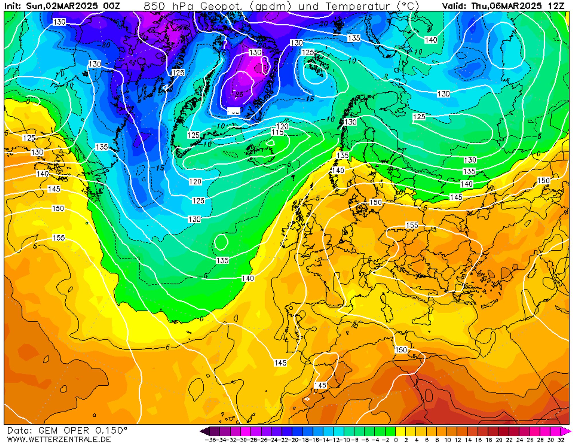
Sunny and calm high-pressure weather
Until Wednesday, the air is dry and there is hardly any wind. During the nights, it still freezes everywhere, causing the snow on sunny slopes to become hard in the early morning, but on north-facing slopes, it will still retain some airiness. From Thursday, fields of clouds will reach the Western and Southern Alps from the south. This cloudiness is associated with the advance of milder and more humid air, which from Thursday will significantly affect the snow quality below approximately 2000 meters with moist spring snow on sunny slopes. This does bring opportunities to choose lines that have been too firm so far but become much more skiable in the afternoon due to the spring sun. However, please note the following.
Possible wet-snow avalanches from Thursday
The avalanche danger is currently moderate (level 2) in most areas but regionally considerable (level 3) around the French main ridge. Due to the significant warming from Thursday, the avalanche danger may increase again despite the dryness, as wet-snow avalanches can occur above 1800 meters.
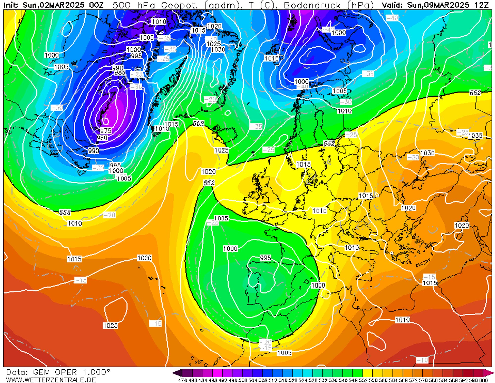
Possible snow in the south at higher altitudes from Sunday
It is still very far away, but all weather models show a depression over Spain from this weekend, pushing moist air and peripheral disturbances towards the Southern Alps. It is still too early for details, but there is a clear signal for precipitation in the Southern Alps from Sunday. The deep southern flow and the lack of cold in the preceding period will likely result in a high snow line, which could be between 1700 and 2000 meters.
Replies
This season started so good but after December complete disaster…Easily one of the worst winters in history
I thought last year was dreadful, I remember there wasn’t a day you could ride back to Chamonix from Vallee Blanche, but this season has been atrocious.
Is there any significance to the potential for snow starting March 8?
Is there any significance to the potential for snow starting March 8?
Chester_Tartsnatcher - 03 Mar 2025 22:44
Yes there is, mostly above 1500-1800 meters, update to follow later today.