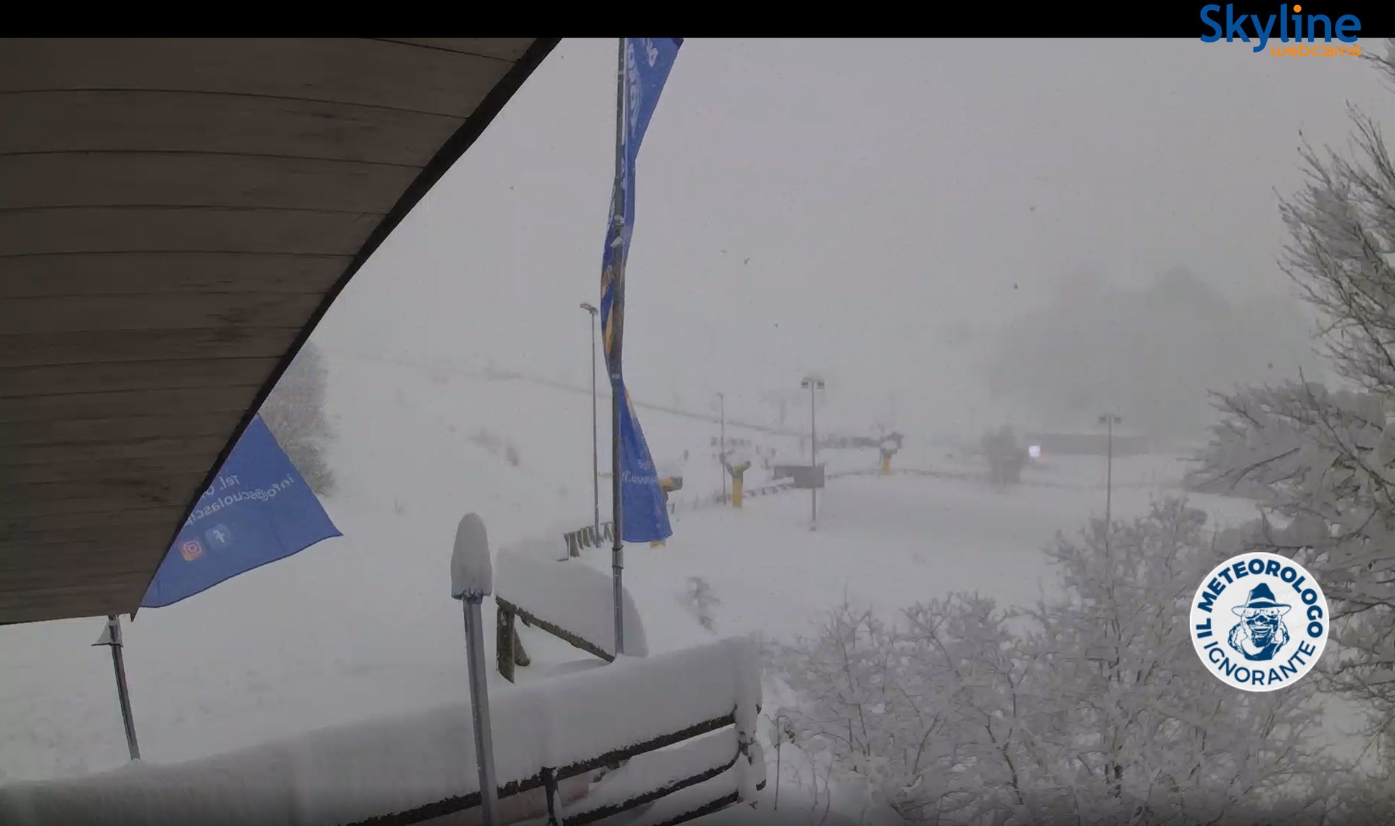
Today is the main snowfall day in the Southwestern Alps, especially on the Italian side in Piedmont. In the south, a solid snowpack has already built up, as shown above in Prato Nevoso. In this corner, around 20-50 centimeters of snow has already fallen, with more expected during the day today. In the other regions, amounts are somewhat lower.

Locally low snow line
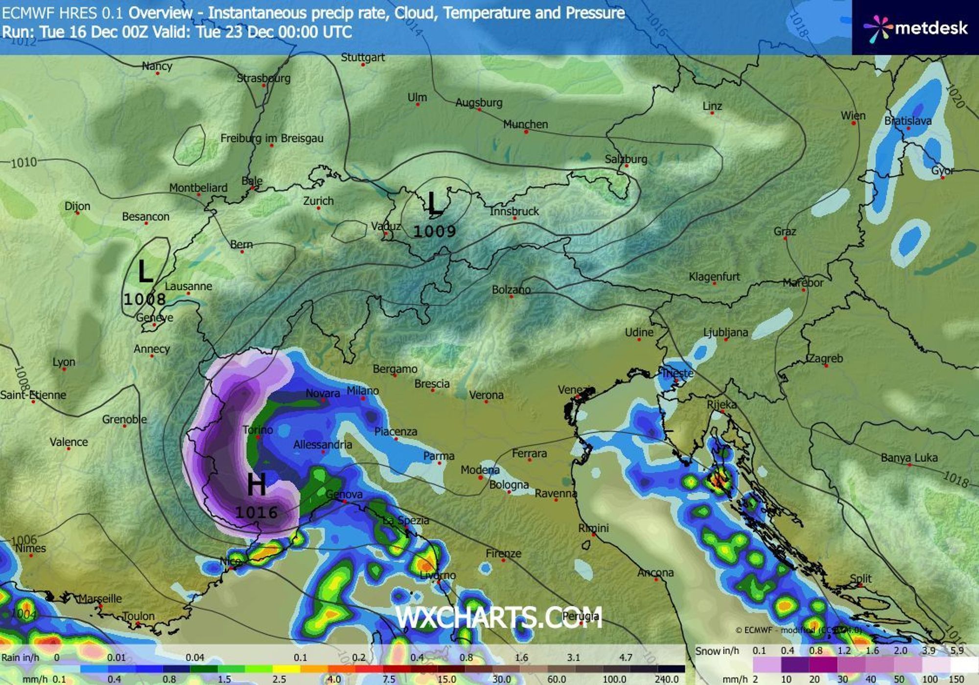
The snow line is nicely low in the southern regions, with snow locally down to 400 meters. Further north in Piedmont, snowfall starts from around 800-1000 meters. The snowfall is mainly confined to the Italian side of the Southwestern Alps. Many other Alpine regions remain dry. As Chris already pointed out well over the past few days, the snowfall chances for France were somewhat overestimated in our forecast. This is not a classic Retour d’Est, as the flow is just not optimal enough. The French border regions did pick up a bit, but overall the amounts there are nothing to write home about. Further north in Piedmont, snowfall totals are still limited as well, though another round is expected over the next 24 hours. For most areas, I expect another 10-30 centimeters in the next 24 hours, with higher amounts possible in the south only (Limone, Prato Nevoso). During Wednesday, snowfall will ease off and the focus will briefly shift toward the Southeastern Alps. By then, the system will have lost most of its punch, so expectations for those regions should remain modest.
Saharan dust
We’re seeing a strong southerly influx of moist air. The rippled cloud patterns over Italy and the Mediterranean also indicate that some Saharan dust is being transported, as confirmed by the map below. Over the Alps, dust concentrations are not particularly high, so the impact should be limited, but it’s possible that a new plume of Saharan dust will be advected later this weekend.
More snow for the Southwestern Alps?
The coming days will remain mostly dry. In the French Alps, there is an increasing signal for unsettled weather by Friday, but for now it doesn’t amount to much. Looking a bit further ahead, an interesting setup may develop after the weekend, potentially bringing another significant snowfall to the Southwestern Alps, once again with a focus on Piedmont. At the same time, the Northern Alps would return to a föhn-dominated pattern, keeping things dry and mild there. This means the Northern Alps are currently looking poorly positioned for Christmas powder. Piedmont, on the other hand, tells a very different story: with the current snowfall laying down a solid base, next week’s potential snowfall could turn into a PowderAlert.
Replies
I’m taking WePowder’s word for it and headed to the Maritime Alps in the morning. If anyone else will be at Limone Piemonte the next few days to ride some pow, hit me up.