In case you missed it: PowderAlert 12 was an absolute banger, delivering over a meter of deep powder across parts of Switzerland and Austria.
If you haven’t seen the footage yet, make sure to check it out here.
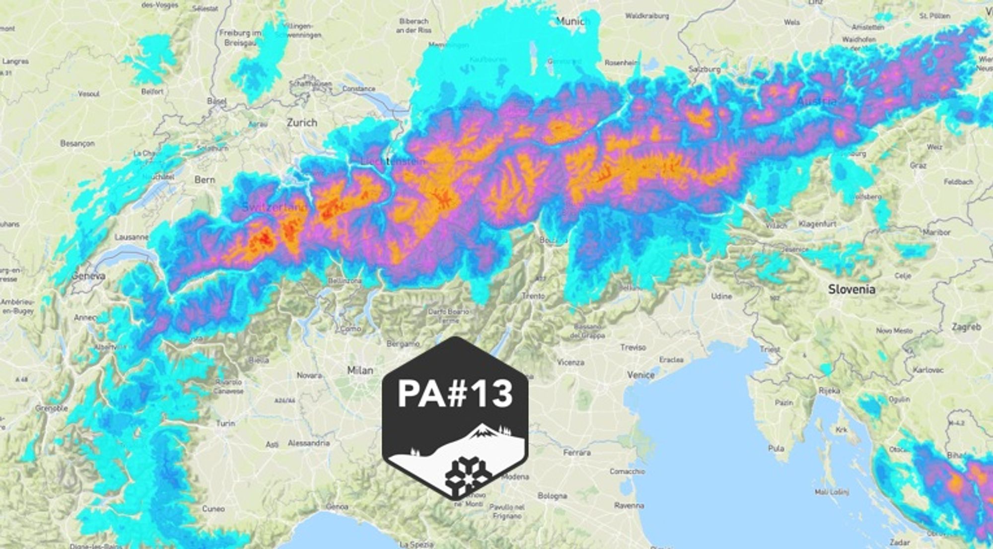
Why bring it up? Because PA#13 is ON, and it’s shaping up to deliver a similar hit across parts of the Northern Alps. Expect full-on snowfall from Monday for at least 48 hours, with a low snowline. Many areas are looking at 30 to 80 cm, with local totals potentially reaching 100 to 110 cm by Wednesday morning, April 1st.
And no — this is not an April Fool’s joke. Though you can definitely expect plenty of big smiles in the powder.
It is PA#13… Not an unlucky number for me — although, due to some technical issues, this update is arriving a day later than planned. Coincidence?

From sun to snow to sun in the Northern Alps this weekend
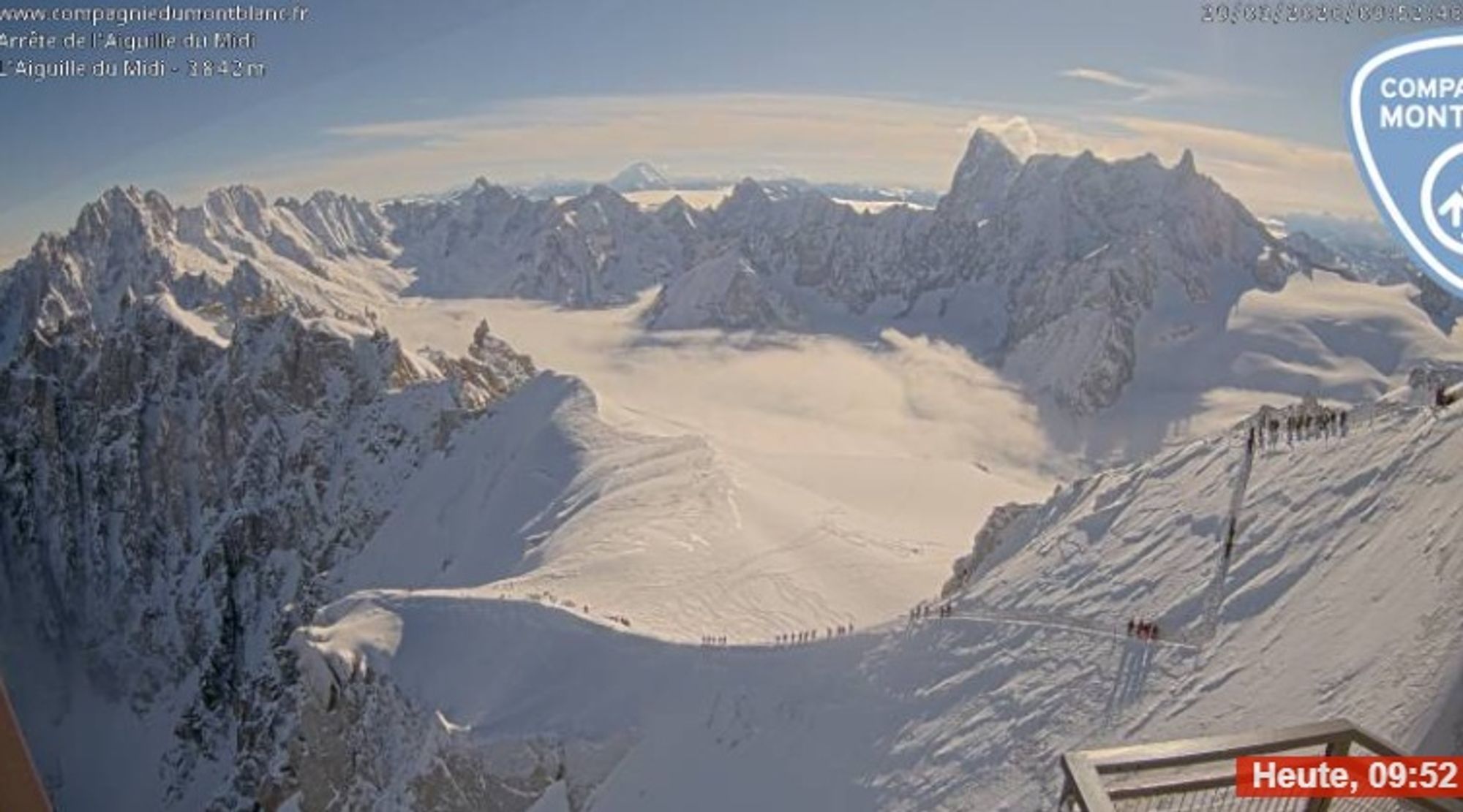
Yesterday was mostly sunny across the Alps following a very cold start, with temperatures between -5 and -15°C in both valleys and mountains. Cloud cover increased later in the day, and since last night some snowfall has occurred, mainly in Switzerland. Many areas picked up around 5 to 10 cm, with local peaks up to 20 cm around Engelberg. The French Alps remained mostly dry, while Austria saw just a few centimeters through this morning.
Winds were strong during the snowfall, with gusts up to 100 km/h, which has significantly affected conditions above the treeline. Expect fresh wind slabs, in addition to those formed earlier this week.
On shady slopes, especially those sheltered from the wind, fresh and drifted snow is sitting on top of weak layers, including buried surface hoar. Avalanches have already been triggered in these layers by winter sports participants. In the inner-alpine regions of Valais and especially Graubünden, the snowpack remains weak, and isolated avalanches releasing in deeper layers are still possible.
Today, skies clear from the west. Some residual clouds will linger in the northern regions, but mid and high-level cloud cover is moving away. Visibility improves significantly, especially in Switzerland (and already in France), while in Austria the clearing process will take a bit longer. High pressure is briefly regaining control — but this is only temporary. The calm before the storm.
A northerly flow brings PA#13 from Monday
After a short period of improved weather, a new disturbance reaches the Alps from the northwest on Monday. Snowfall begins in the morning and, just like last week, the front is followed by a persistent north stau setup lasting through April 1st. This means around 48 hours of continuous snowfall, with a snowline down in the valleys. Conditions will quickly turn deep.

- 1cm
- 5cm
- 10cm
- 15cm
- 20cm
- 30cm
- 40cm
- 50cm
- 75cm
- 100+
- 1mm
- 5mm
- 10mm
- 20mm
- 30mm
- 60mm
- 120+
How much will fall — and where?
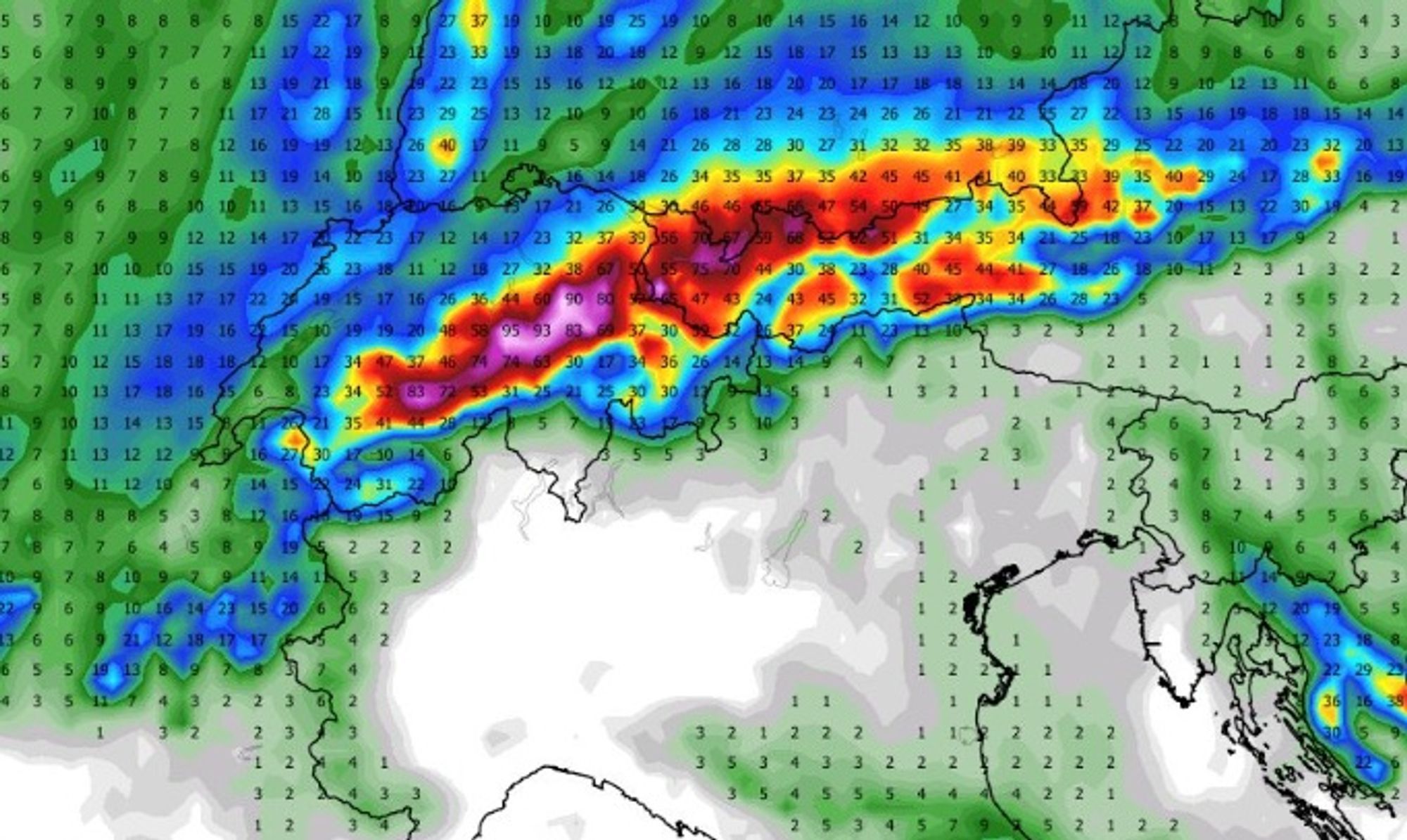
Over the past few days, weather models have been shifting quite a bit regarding the exact sweet spots. At the moment, the focus of the snowfall looks to be between the Berner Oberland in Switzerland and North Tyrol in Austria. It’s still too early to pinpoint exact hotspots, but totals of 100 to 110 cm are realistic given the strong orographic lift, the duration of the event, and the cold temperatures — which increase snow accumulation efficiency. By Tuesday morning, many areas could already have received 30 to 50 cm, with snowfall continuing beyond that.
Looking at the expected totals here is a first indication:
- (Haute) Savoie 10-20cm
- Adelboden to Arlberg 60-110cm
- North-Tirol 50-90cm
- Otztaler Alpen and Hohe Tauern 40-70cm
- Salzburgerland 30-70cm
There will be a strong to stormy wind and with snow totals exceeding 50cm you can expect a category 4 avalanche risk higher up in the mountains. With the cold temps and a good low base from last week tree runs are your friend.
From precipitation to powder depth
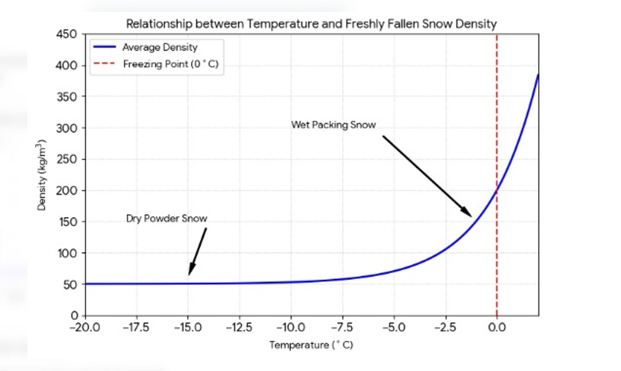
During PowderAlert 12, snowfall totals exceeded expectations due to low temperatures. Colder air produces lighter, fluffier snow — the classic “champagne powder.”
As a rule of thumb, around 0°C, 10 mm of precipitation typically results in 5 to 10 cm of snow. At around -2°C, this increases to roughly 10 to 15 cm, and at temperatures of -5°C or lower, the same amount of precipitation can produce 15 to 20 cm of snow.
For the coming days, temperatures around 1500 meters are expected to be between -3 and -5°C. With up to 80-90 mm of precipitation forecast, snow depths around 120 cm are certainly realistic.
When will the sun return?
Snowfall intensity decreases noticeably on Wednesday, although skies will remain mostly cloudy. Thursday and Friday look to become largely dry with some sunshine and still moderate temperatures.
A warming trend is likely to follow during the Easter weekend.
If you have the opportunity, this is one to go for — just before Easter!
Enjoy the powder and ride safe.
Replies
Looking forward to this! Yesterday has already been sick at Hochfügen