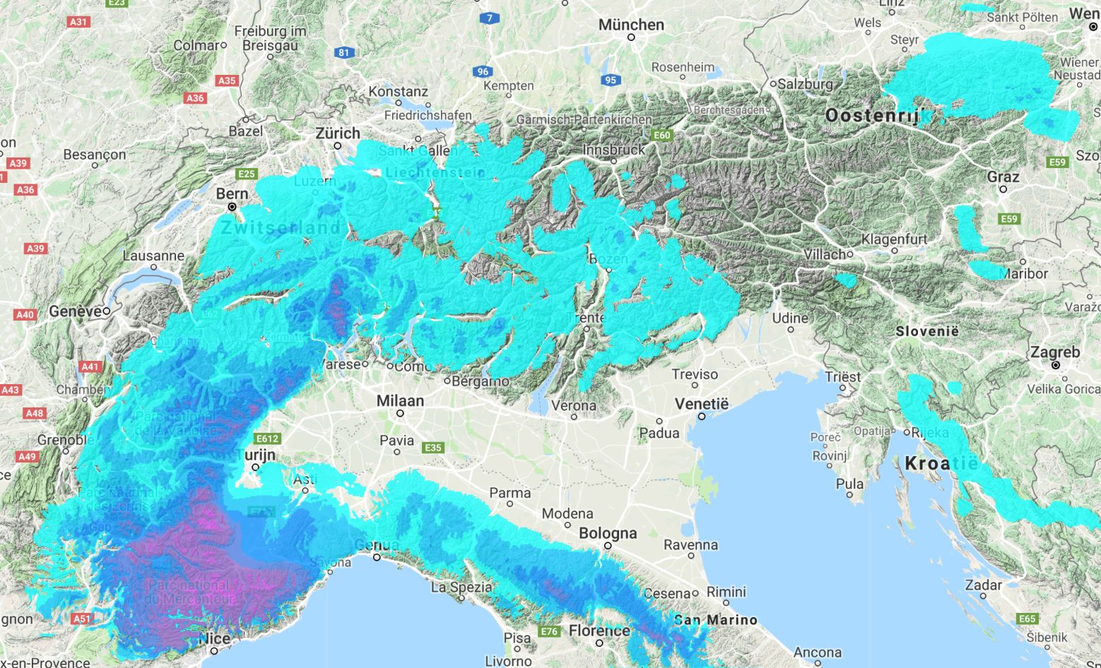
It is almost mid-November. The conditions are already good in the high alpine of the main alpine ridge and the southern Alps. There is already a solid base layer here above 2200-2500 meters. But on the other hand, they are waiting for snow in the west and north (read this article). In my latest weather forecast, I had some bad news:: no precipitation and clear nights. No fresh snow is to be expected for the short and mid-term. So far the bad news, but everything you’ll read below won’t be that reliable, simply because I’ll look futher into the future. But hey, it offers some perspective.
Low temperatures from the east
An extensive high pressure area nestles above the Alps and above Scadinavia later this week. As a result, the jet stream is led around the Alps with a large arc and we can forget storm depressions from the south, west and north. But because the core of the high-pressure area will be above Scandinavia, that opens the door to the rare eastern current above central Europe.
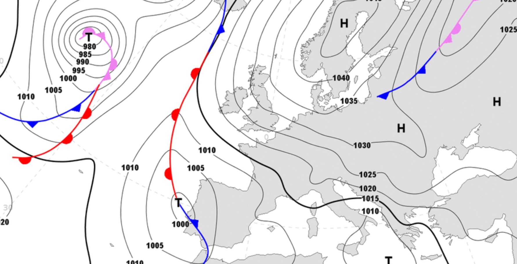
The air pressure will be so high above Scandinavia that you do not have to expect precipitation, but around and especially in the Alps there will be an eastern to south-eastern current where the air pressure is low enough to pick up some moisture. The supplied air from the east is cold. As in very cold and the water temperature of the Mediterranean is still on the high side.
Snow from the Po-plains?
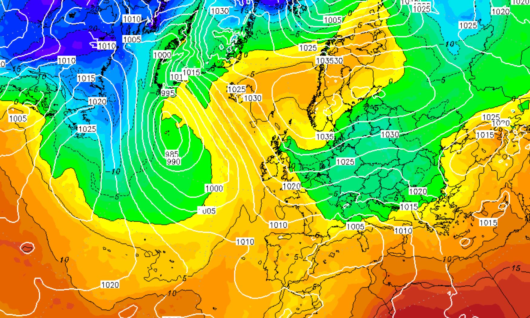
With an eastern current that brings in very cold air and that mixes with the Mediterranean in the south of the Alps, there is a fun scenario that beckons. Because cold air mixed with moisture that penetrates the Po-plains, usually produces snow for the southern Alps. With a favorable current (east to east-northeast) even other parts of the Alps can benefit from this.
A nice perspective. You don’t have to expect any precipitation at least until the end of the week, but there will be increasing chances fo snow next weekend and early next week.
And for those looking for stoke … In Andermatt they have already skied this couloir last week. There’s a good base and the next snowfall will definitely will bring more pleasure!
Stay stoked,
Morris
Replies
There is snow on our long term weather maps. Promising!
Check https://wepowder.com/en/forecast (and click on Tuesday November the 20th and further)
schön wäre es wenn man den Wetterbericht auch in deutsch lesen könnte.
@@knack, da hast du recht. Wir haben eben nicht das Geld dafür in diesen Moment. Entschuldigung. Aber mit Google translate hat man einem Alternativ.