
We are in the middle of snowfall on the south side at the moment. The snowline is a thing though. Especially on Friday afternoon, it briefly rained up to 2000 metres in parts of the southern Alps. So, as indicated, we will only encounter the big snow quantities from this elevation, but in the meantime in the stau areas there has already been a considerable layer of snow, up to half a metre of snow higher up. At over 1,700 metres in Madesimo, there is about 30 centimetres of snow and it will continue to snow steadily here in the coming hours too, with a snowline around 1,300 metres.
Short sidenote: a comment under my previous weather report of the missing base in some regions, e.g. in Aosta (Monte Rosa), is very justified. So pay attention to this in the coming days if you are out and about in these regions! In addition, also pay attention to the avalanche reports.
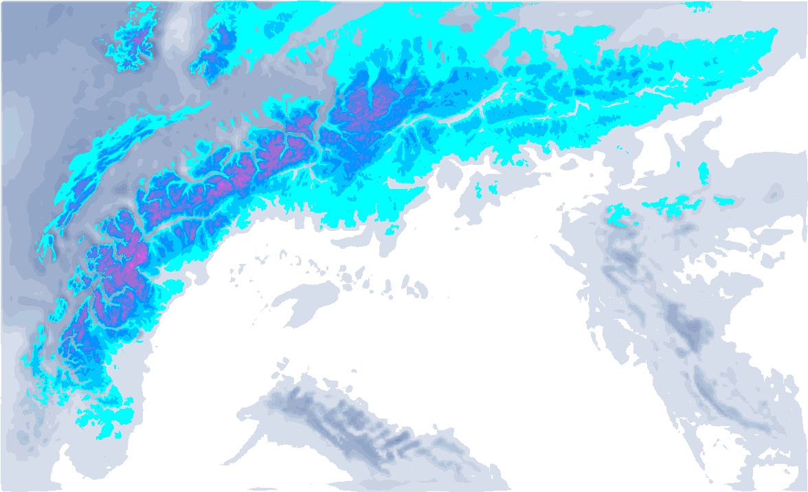
A round of webcams:


Föhn on the north side
On the north side, the föhn storm rages as expected. Variably felt, of course, especially in the typical föhn valleys. On the Patscherkofel near Innsbruck, wind gusts of up to 140 kilometres per hour occurred. Where there is some snowfall on the north side around the alpine main ridge, the strong winds can also cause wind slabs.

- 1cm
- 5cm
- 10cm
- 15cm
- 20cm
- 30cm
- 40cm
- 50cm
- 75cm
- 100+
- 1mm
- 5mm
- 10mm
- 20mm
- 30mm
- 60mm
- 120+
Some snow at first, but mild continuation
How will things progress? On Sunday, the low-pressure core moves north towards Poland. During the night from Saturday to Sunday, precipitation will thus also spread to the Northern Alps, with a snowline of around 1000 to 1300 metres. In most places it will not exceed 5 to 15 centimetres, in the French Northern Alps possibly 20 centimetres. Around the Alpine main ridge, some more may fall in total with today’s snowfall.
On Monday, we will still see some remnants of snow in the form of showers on the north side with a snowline of around 1,000 metres, but the highest intensities will be gone by then. After that, it becomes milder with a westerly to south-westerly flow. Wednesday may still see some snow on the north side with a snowline of around 1,500 metres, but Thursday will be even milder. Ahead of the cold front, the northern Alps enter a new föhn setting where it could become quite mild again. In the southern Alps, it will remain slightly cooler, but also dry. What exactly the cold front will bring is not yet certain, but I do not expect much at the moment.
Replies
Nothing good for snow lovers