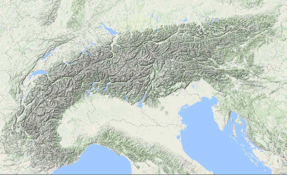
After the fresh snow and stormy weather of the past few days, we take stock and look ahead: the big Christmas gift is on its way. In this update from Henri’s #PA2 on 19-12, we check:
- The current situation in the Alps
- Details about the pre-Christmas dump with 50-100 cm on a large scale
- When will it become calm and safer again?

Today: cold night, white above 800-1400 meters
Above the freshly fallen (10-30cm) snow, it froze severely last night. A selection of the minimum temperatures:
Val Thorens (FR) -17°C
Samedan (CH) -19°C
Sexten (IT) -17°C
Ehrwald (AU) -12°C
Today it is relatively calm with sunny periods in the Southern and Eastern Alps. In the Western and later also the Northern Alps, cloud cover increases due to a weak warm front that stalls against the mountains and dissipates. The frost line is around 1500 meters.
Welcome dump, but it brings dangers
December has so far been a reasonable winter sports month with little rain and wintery landscapes from 1000-1500 meters. Because a major dump has been missing so far, the base is still thin with less snow than average, especially below 2500 meters. Above the tree line, there are problems with wind-drifted snow and old snow, which has already led to images of avalanches appearing on social media in recent days.

Wind problem
The wind-drifted snow situation worsened further yesterday due to prolonged strong winds above 1500 meters with gusts of more than 100 km/h. The strongest gust I could find was 141 km/h in the Austrian Kölnbreinsperre (1916m). The dump in the coming days is very welcome in terms of snow, but quite dangerous in terms of avalanches due to the poor base and also the wind that will occur during the snowfall.
First fronts, then Nordstau
A deep depression near Scotland will move towards Poland over the next 48 hours, an ideal position for a moist flow from the north to northwest. But first, the fronts must pass. Between the warm front and the cold front lies the so-called “warm sector,” a zone with milder air and a high snow line. In this case, the snow line in the Alps will be between 1400 and 1700 meters during the night and Sunday morning. The first 10-30 mm of precipitation can therefore fall as rain below that altitude. The cold front will move from northwest to southeast over the Alps on Sunday, causing stormy weather with snow, hail, and strong gusts. The snowfall from the cold front will almost seamlessly transition into showery snowfall caused by the Nordstau behind the depression. The snow line will drop to the valleys.
Multiple troughs
As Henri already indicated, the snowfall comes in “waves.” These waves are small disturbances in the upper air, recognizable in the lowlands as shower lines and clusters. When they hit the mountains, they cause intensifying snowfall. I include the animation of the map series above, which gives the best picture of these “snow waves” and their timing. Little has changed in the big picture; the heaviest snowfall gradually shifts from the Western Alps to the Eastern Alps, and the timing and expected amounts are as follows:
| Regio | Peak snowfall | Expected amount (above 1500m) |
|---|---|---|
| France, Southern Alps | Sunday | 20-50 cm |
| France, Northern Alps | Sunday + Monday | 40-100 cm |
| Swiss Alps | Sunday + Monday + Tuesday morning | 50-120 cm |
| Austrian Alps | Sunday afternoon + Monday + Tuesday | 50-100 cm |
Where to go?
Since little has changed in the snow forecast, I refer to Henri’s tips in PA#2. During the dump, we will adjust the tips if necessary. The main points:
- Lots of wind, high avalanche danger from Sunday
- As a result, many closed lifts expected
- Stay between the trees for the first few days
- In the Eastern Alps, the best base will be on Tuesday
- Normalization during from Wednesday, but keep following the safety updates and avalanche warnings closely
The rest of the month will likely be dry and stable
The trend is high pressure, which keeps the snow and cold well preserved in Inneralpine areas. It freezes hard at night (especially in the valleys) and during the day the frost line is between 1500 and 2000 meters. This is not likely to change before January.


